Mission Trails Regional Park Visitor’s Center
2 Reviews
Hello everyone! This is a friendly reminder that any of these fun places we may visit, we are a guest at. Please treat both businesses and trails with the utmost respect. We here at Hidden San Diego follow the 'Leave no Trace' mantra, meaning whatever you bring with you comes back with you. If you see trash on a trail, please do your part to help remove it. Remember, we are not picking up trash from another person but instead cleaning up for Mother Nature. Happy adventures!

1 Father Junipero Serra Trail
San Diego, CA 92119-1008
Phone: (619) 668-3281
32.820184, -117.056820
HOURS:
Open Daily: 9:00 AM – 5:00 PM
Closed: Thanksgiving Day, Christmas Day, and New Years Day
Dog-Friendly: No Kid-Friendly: Yes
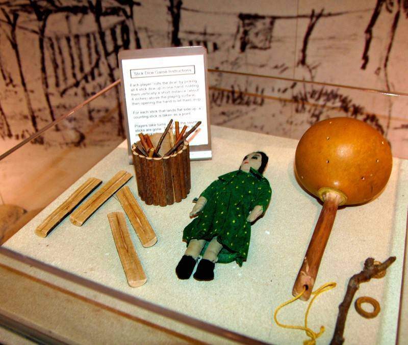
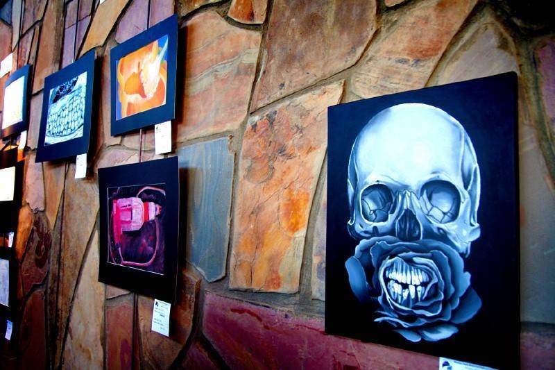
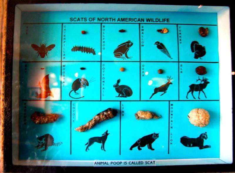
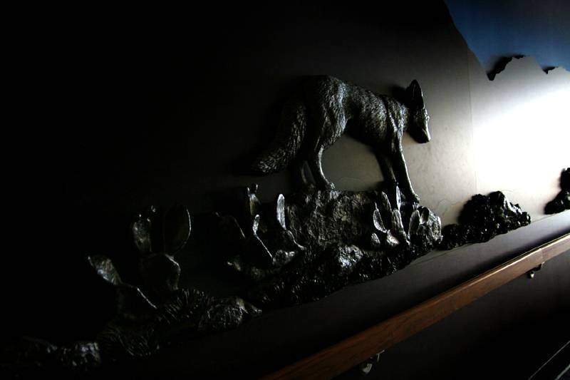
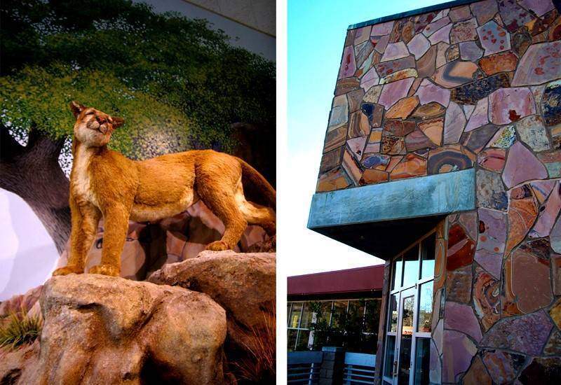
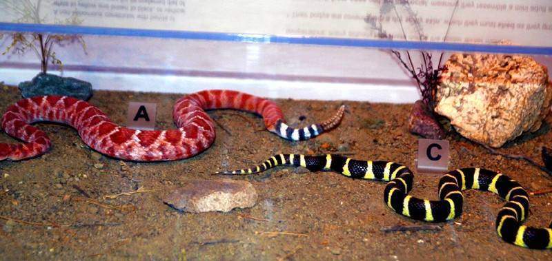
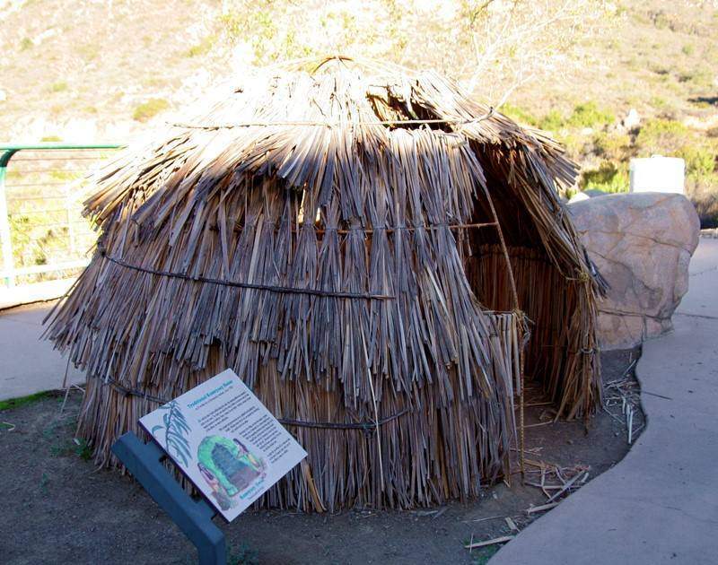
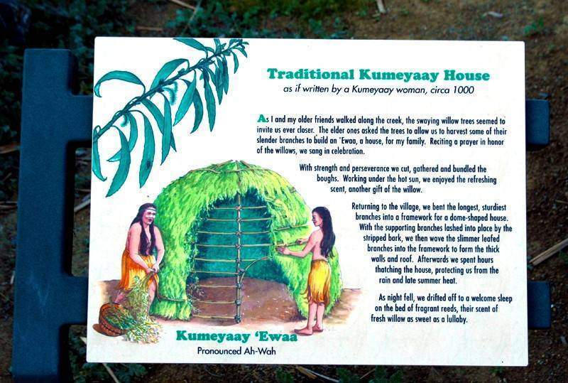
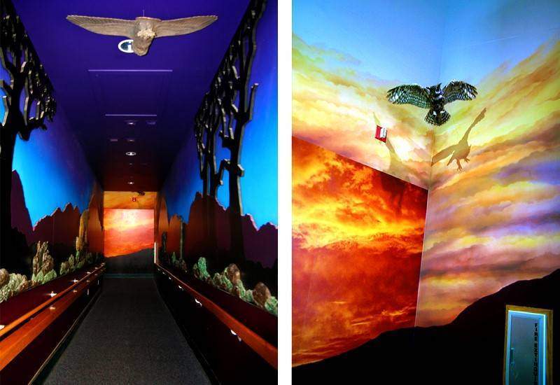
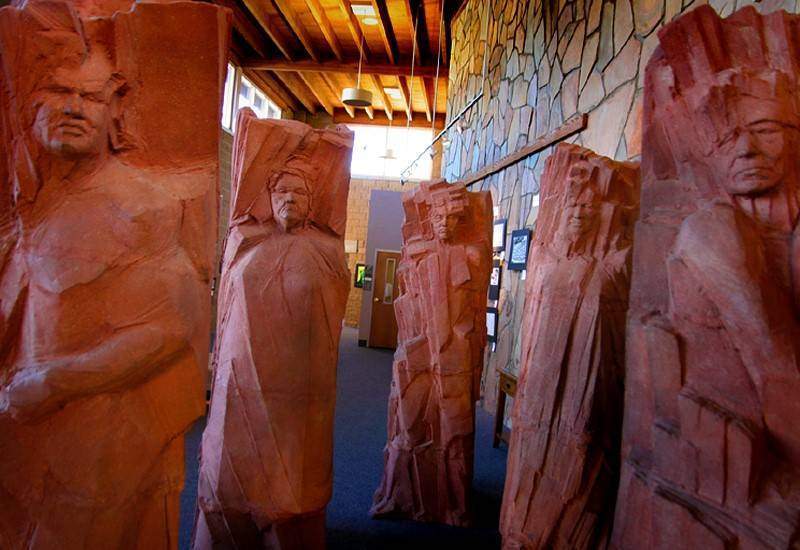
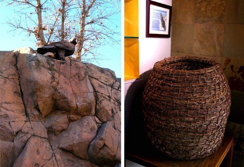
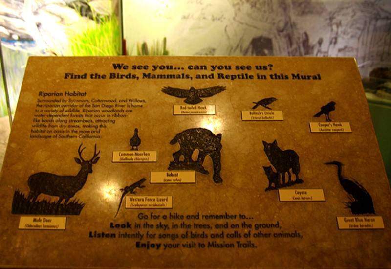
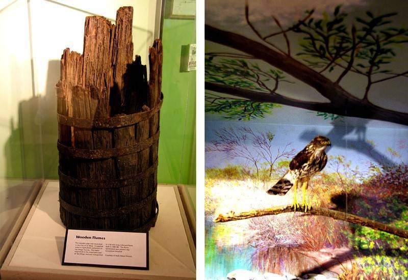
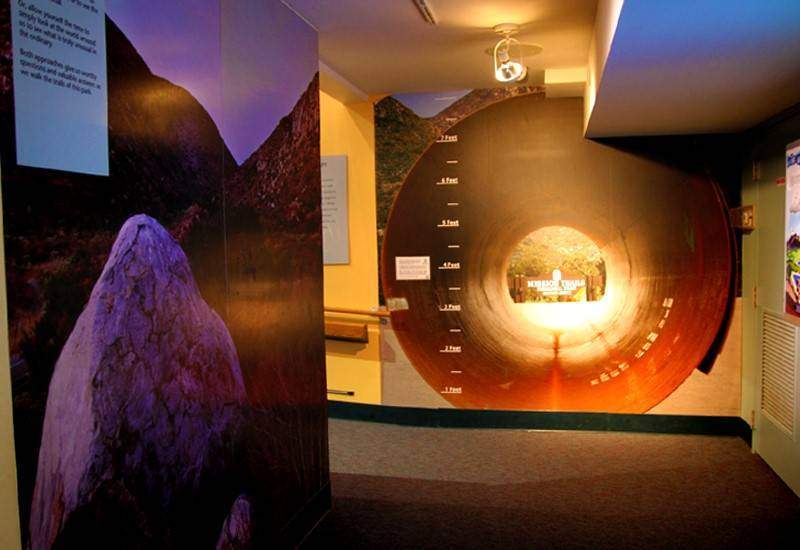
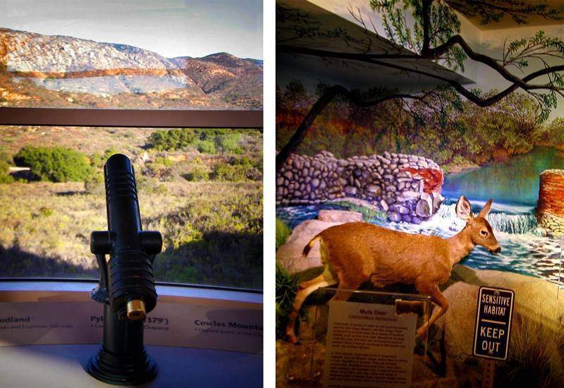
You’ll find displays of local wildlife, artifacts, an art gallery, and even a 94-seat theater that typically runs educational films about the park’s history and ecosystems. Exhibits change periodically, giving you a reason to come back again and again.
Inside, there’s a cozy library, a gift shop with books and local treasures, and knowledgeable volunteers ready to answer questions. It also doubles as a unique venue for after-hours events like weddings, fundraisers, and celebrations of life.
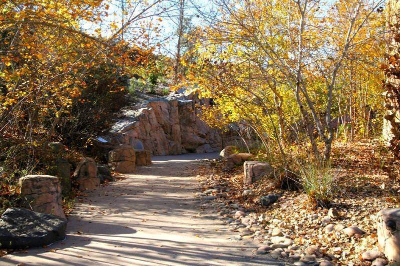
While you’re in the area, make sure to visit the Old Mission Dam nearby!
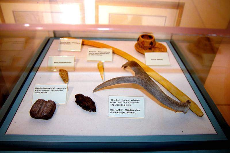

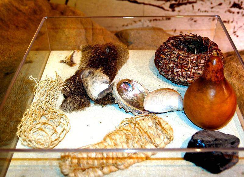
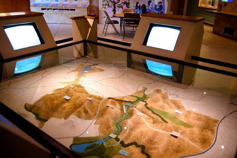
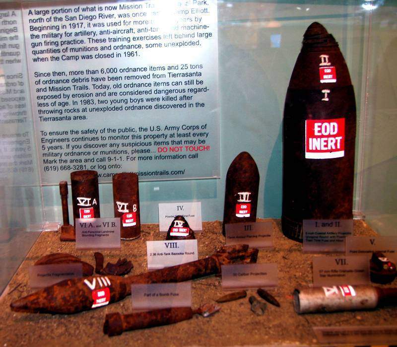
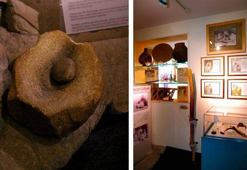
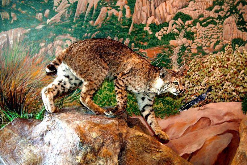
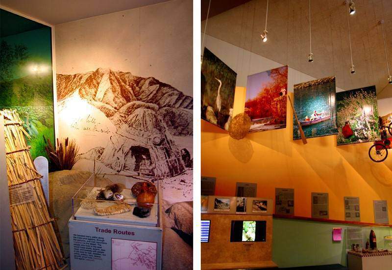
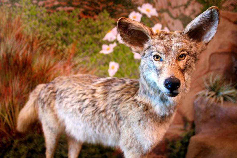
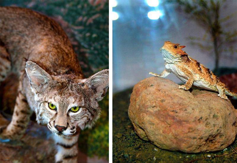
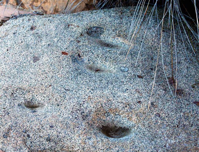
Metates:







Anonymous
Heres better instructions – how to get there Crystal Cave/Mine Santee- there’s a bunch of nice gems laying around on the ground if you pick around carefully.
There’s Big Rock Park in Santee. You can google it if you want to. Running next to it is Mesa Road. It isn’t a long walk up Mesa Road, past the last gate not far at all.
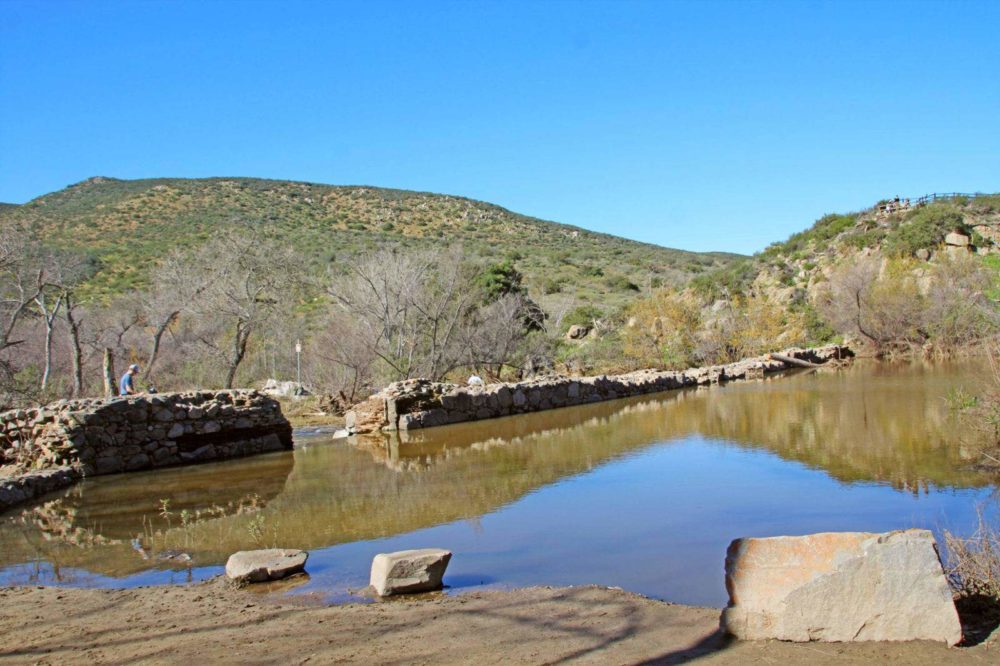
You’ll see a rock structure on the right hand side. When there’s been rain there’s a nice waterfall, and there usually is always a pond there and wetness, and the plants are green in that spot. It is distinctive, it is the first significant rock structure.
You cross the rocks over the seasonal waterfall. Immediately on the other side you’ll see a trail that is lately enclosed above by bushes/chapparel. Follow it up a little bit, not far, and you’ll hit the area where the mine/mines are, including the one I photographed. The gemstone boulder is in the bushes around there too.
That whole part of the hill is tailings actually, you’ll see. You’ll see bits of black tourmaline scattered everywhere in the tailing piles, prolific. If you google map it and look, the bare spot just beyond the rock structure is where the mine is, that bare spot on the current google map 12/27/2013 is tailings that no plants grow on right next to the mine entrance.
Just zoom in close up on Mesa Road in google maps and you’ll be able to see the last gate just beyond the last drive way, just beyond that the grey rock structure and green plants, and the bare scars on the hill beyond it that are old mine tailings.
Let me know when you find it. 🙂
goldtrout 9 days ago
January 5, 2014
Admin
I hope to explore this soon! Thank you!
January 10, 2014