
Barker Valley
8 Reviews
Hello everyone! This is a friendly reminder that any of these fun places we may visit, we are a guest at. Please treat both businesses and trails with the utmost respect. We here at Hidden San Diego follow the 'Leave no Trace' mantra, meaning whatever you bring with you comes back with you. If you see trash on a trail, please do your part to help remove it. Remember, we are not picking up trash from another person but instead cleaning up for Mother Nature. Happy adventures!

Palomar Divide Rd
Warner Springs, CA 92086
Gate: 33.330858, -116.709190 Abandoned house: 33.330852, -116.767831
Trailhead: 33.339638, -116.787925 **This trail is called Barker Valley Spur**
From main road/gate to trailhead: 7.81 miles (Gate is subject to be closed before or after storms so call in)
Trailhead into valley – 3.16 miles
Dogs-Friendly: Yes Kid-Friendly: Yes Camping: Allowed
Level: Moderately Strenuous
CHECK OUT OUR GUIDE ON ALL THE HIDDEN GEMS ON PALOMAR MOUNTAIN FOR AN AMAZING DAY TRIP!
To reach the trailhead: turn west from Highway 79 at a point 6.5 miles northwest of Warner Springs (mile 41.9 according to the roadside mileage markers). Continue up the mostly unpaved Palomar Divide Road for 7.8 miles to the Barker Valley Spur trailhead on the left (west) side. Also note that since the trailhead and the hiking route lie within national forest territory, you must post a National Forest Adventure Pass on your parked car.
TIP: You absolutely MUST have 4-wheel drive to make it up the mountain from the gate. Otherwise you are looking at an 8 mile hike up the mountain to the trailhead. If this is your option, I recommend camping which is allowed here.
TIP #2: Cell phone use is rare out here so make sure to have your trip physically mapped out.
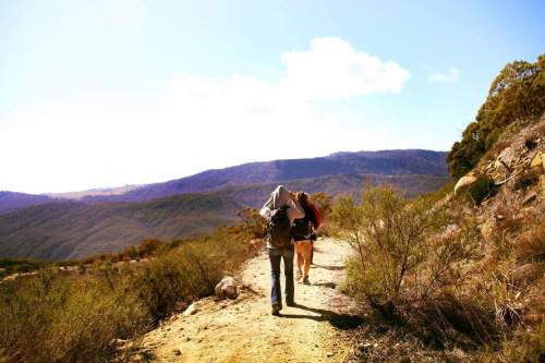 Personal Experience: This is a gorgeous hike located on the southern end of Palomar Mountain, heading into Warner Springs. Part of me wants to call the Barker Valley Trail the Barker Valley FAIL because we unfortunately did not get to the waterfall. We were thrown into a really strange situation though. When we arrived the gate was closed.
If we wanted to hike to the trailhead from the gate it would have taken us 8 miles up hill THEN an additional 2-3 miles down a mountain to search for the elusive waterfall. We were not prepared for that type of hike and right when we were giving up, a knight in a shiny white truck saved us.
He had the right pass to get us through the gate and drove us all the way up the mountain to the trailhead. He even promised to come back for us at sunset to drive us back down. He truly was an angel.
While you’re in the area, make sure to check out Ricardo Breceda’s Art Gallery nearby!
Here is a copy and paste that I found on the waterfall: “If you are up to the challenge, you’ll end up in a nice meadow with several excellent camp sites about a mile downstream. At the end of the meadow, the stream enters a granite gorge with several large pools suitable for swimming and some waterfalls. There were quite a few people at the waterfall when we were there.” Another person mentioned that there are LEECHES in the water. OMG!
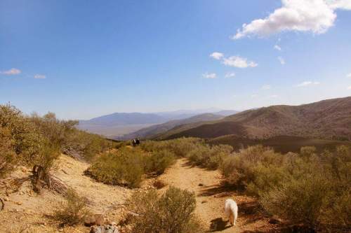 Another tip: “Once you reach water stay left. Do not cross the stream at the junction. Left is right, and right is wrong. The water is exactly 3.2 miles from the trail head and the falls are approximately 1 mile further. The falls were a little tricky to find, not knowing exactly where they were, so just stay left and HIGH on the trail. When it looks like the trail ends at a dry stream bed, cross and look up for the trail to continue. Don’t follow the stream or bother climbing over rocks until you get to the pools. It’s a gorgeous hike.”
We ran out of time before finding the waterfall and needed to head back up the hill if we wanted to get our ride back home. We opted for the ride obviously. I would recommend doing this hike in the cooler months after a good rainfall BUT make sure you call in to see if the gate is closed or not.
Here is a map of our hike. The far right in red is where the gate is and also represents our car ride up the mountain. There are markers for the mines and the green is what we actually walked:

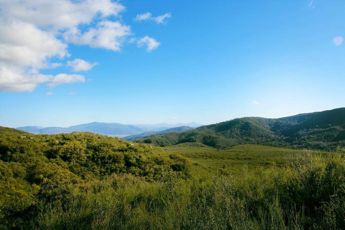
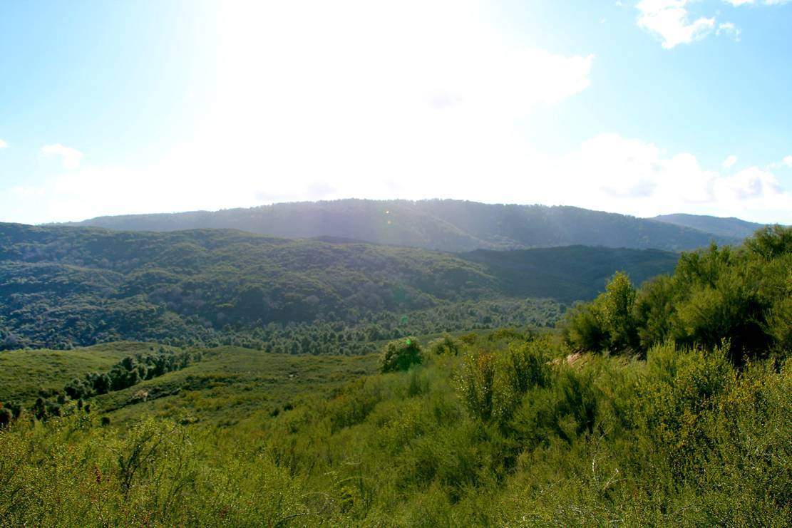
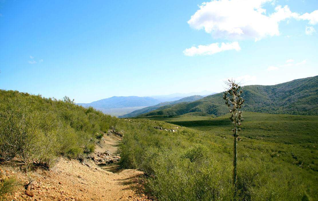
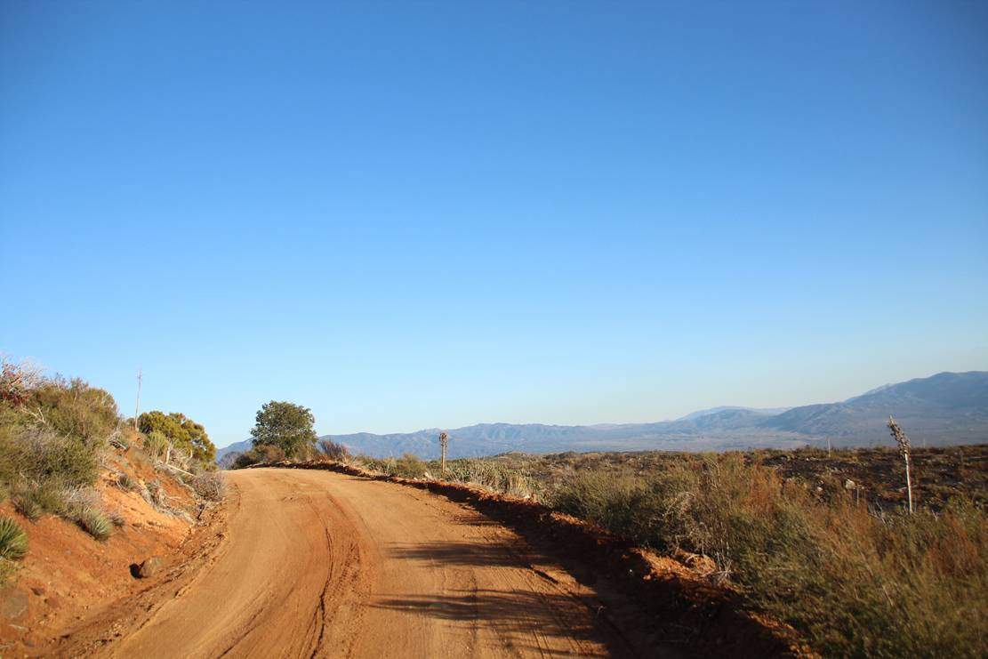
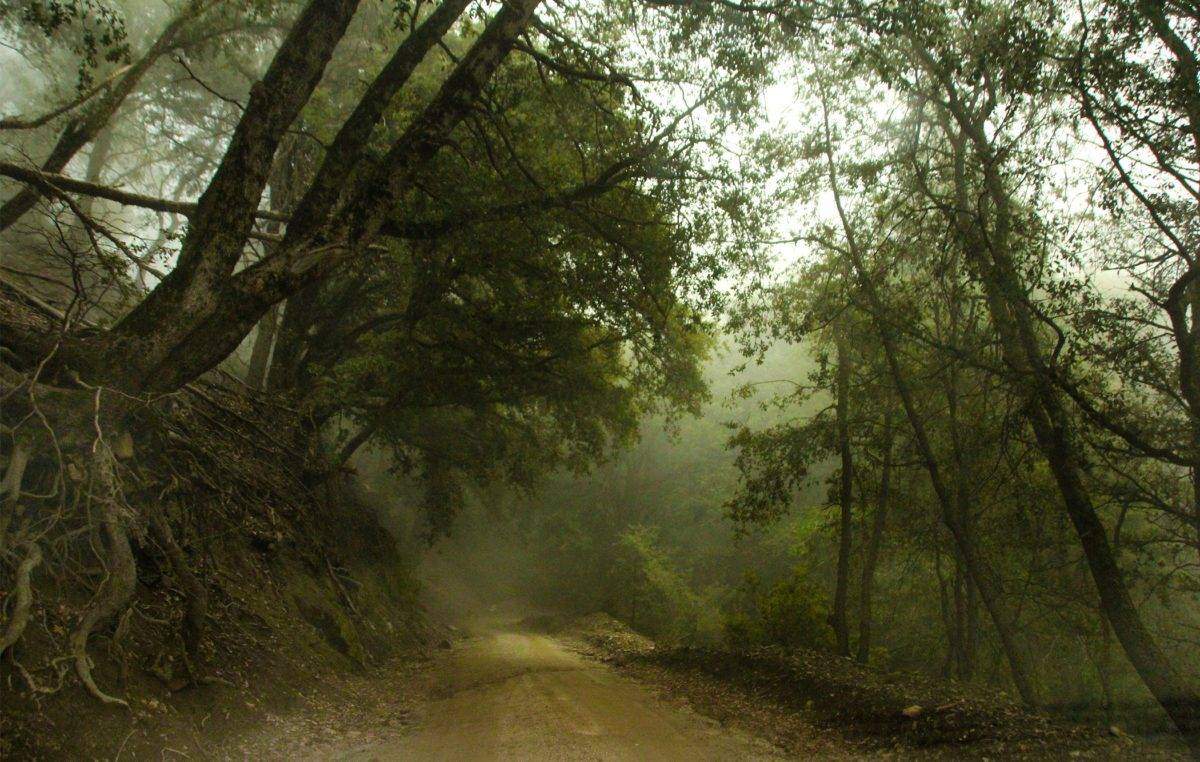
This car ride saved us one huge headache of a hike up a long, rigorous mountain. The drive is gorgeous by the way: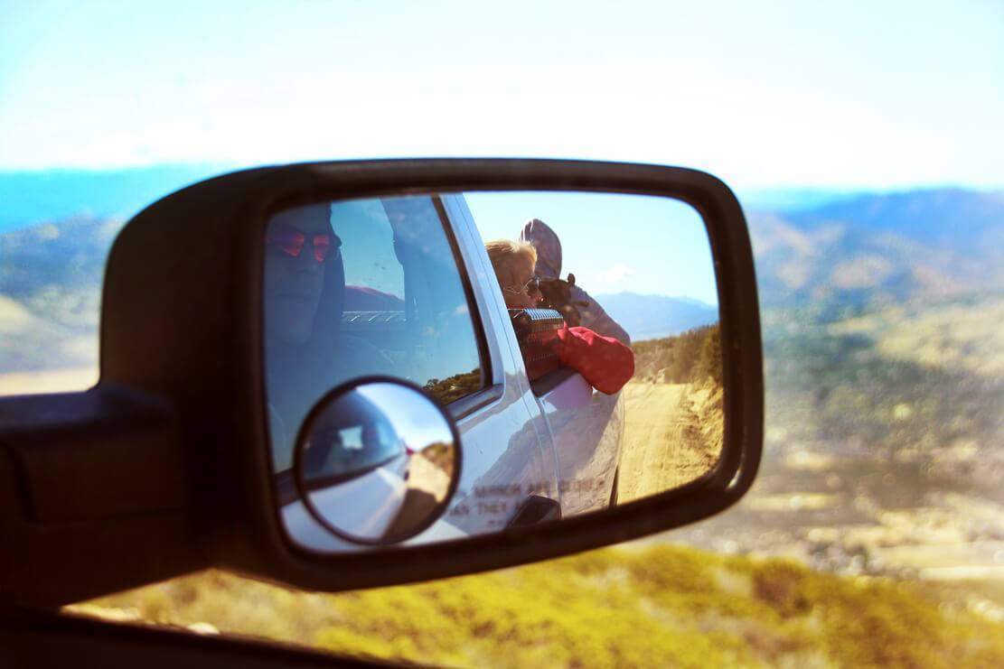
Sage came with us!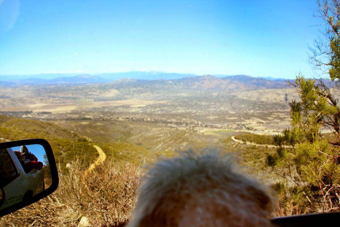
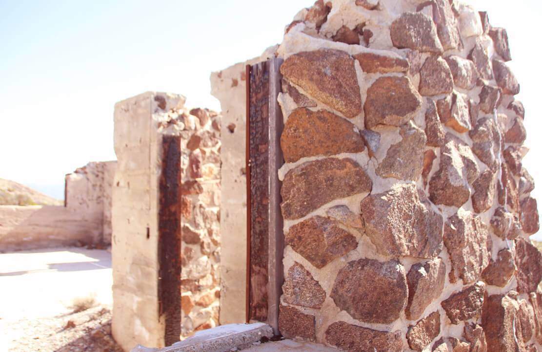
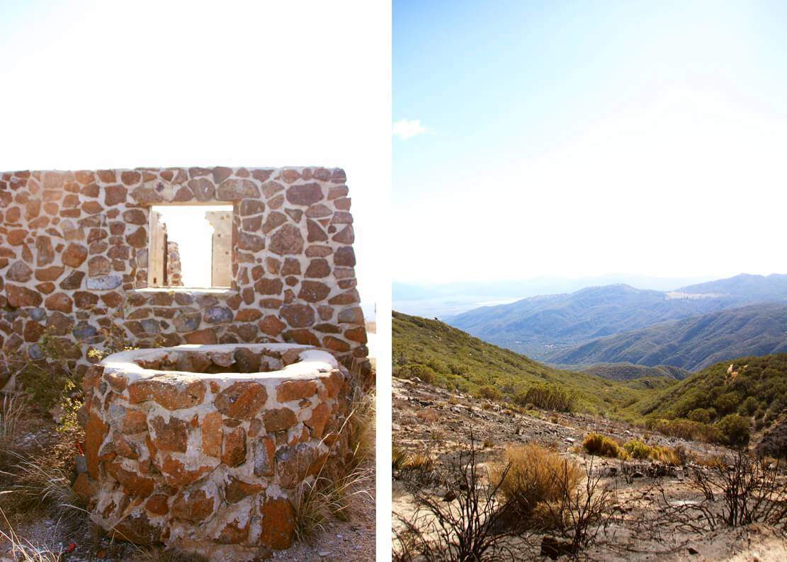
We came across a destroyed homestead. I was told that it was the home of a family that overlooked one of the mines during operations back in the day. They eventually moved away and it was abandoned for sometime until some people cooking meth inside burned it down. What an obnoxious shame!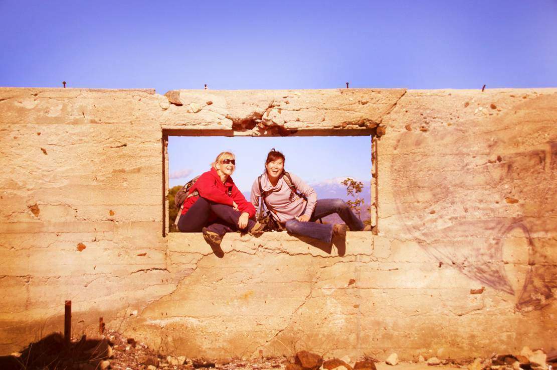

This is where the trailhead is: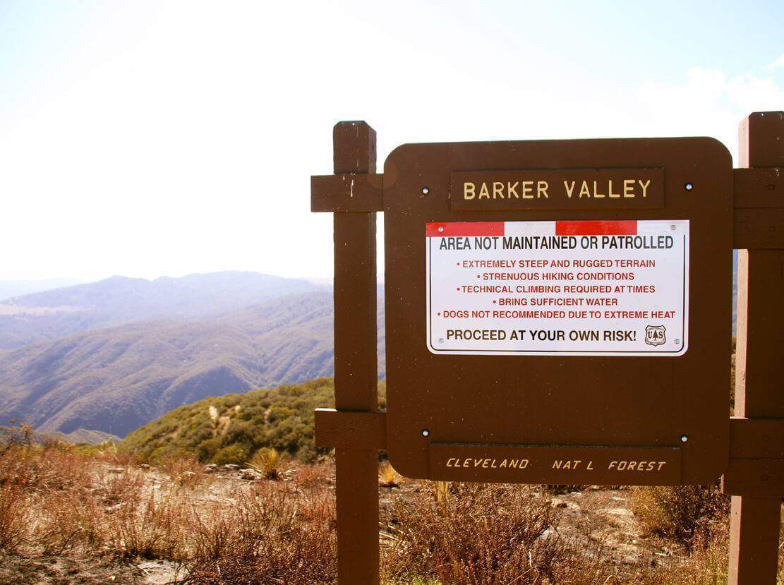
Deer prints!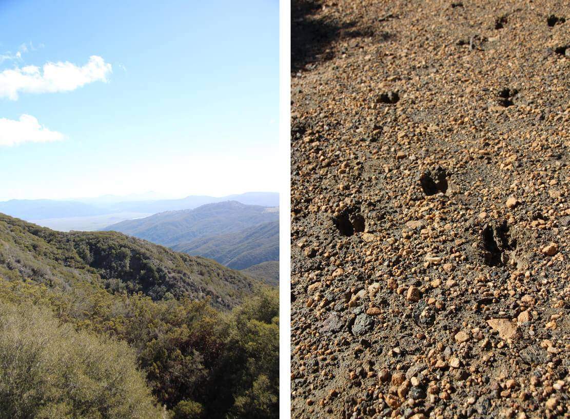
Super-nutritious Lion’s Mane fungus: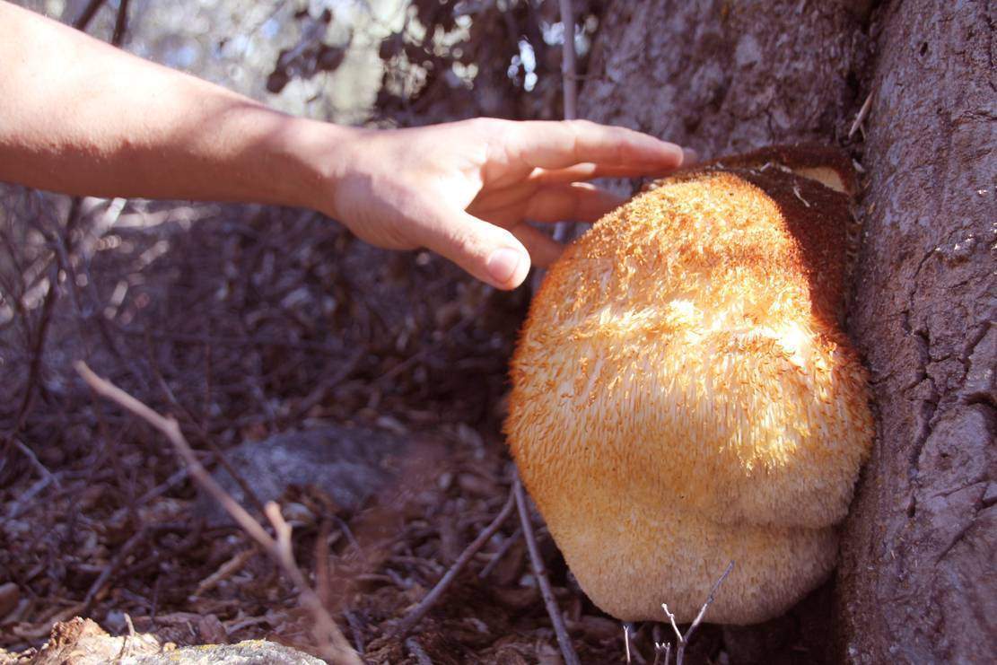
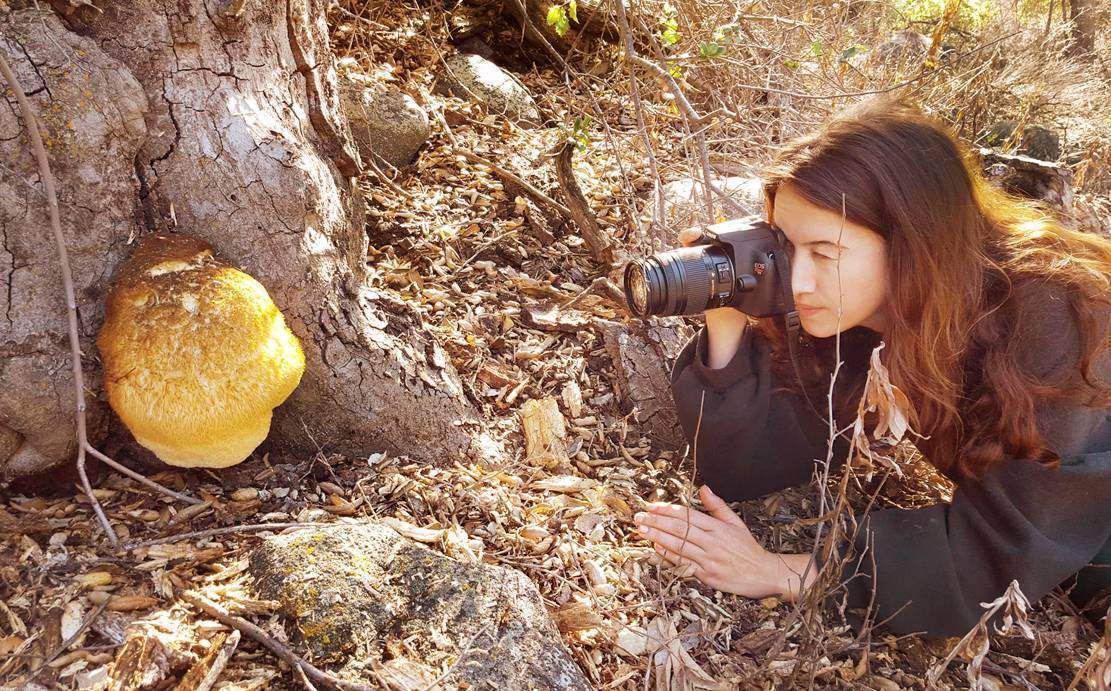
We found black tourmaline!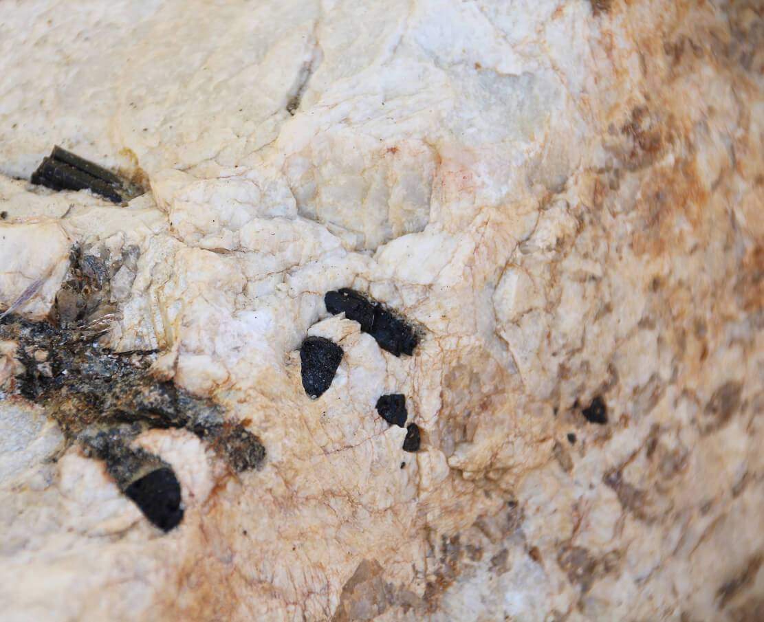
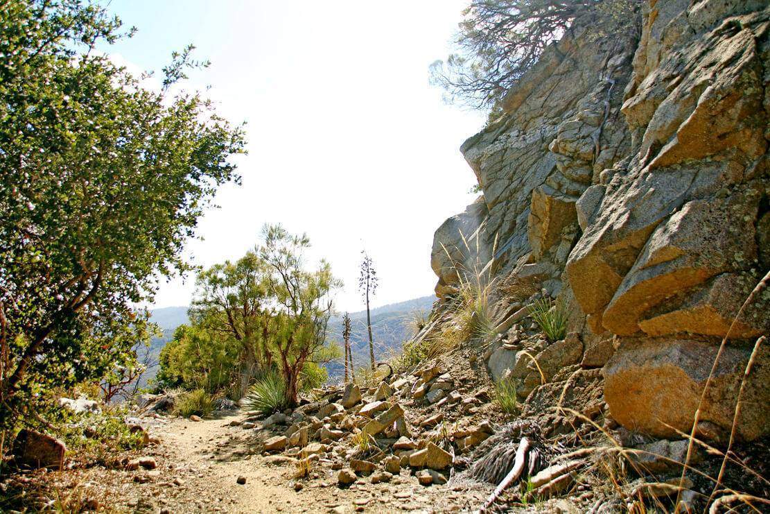
It was at this point when not wearing proper hiking shoes started kicking in. Make sure to own good hiking boots! And wear thick socks. I had HUGE blisters on the bottoms of my feet: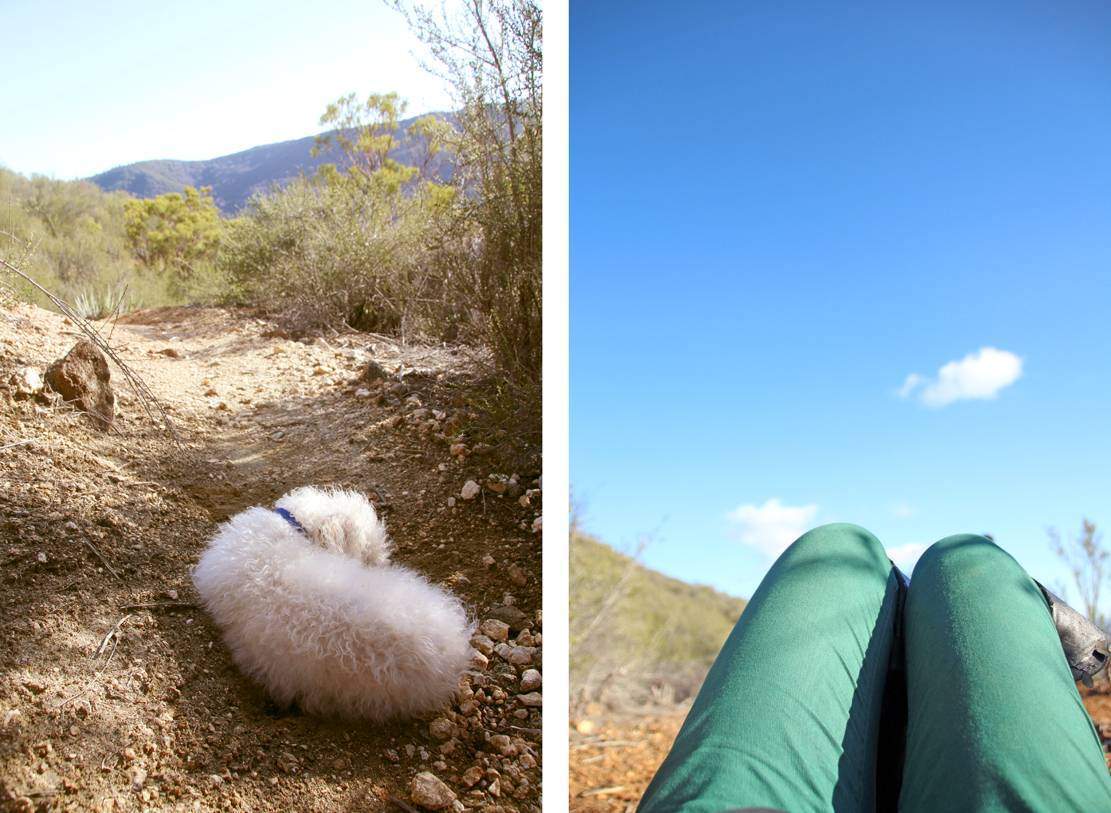
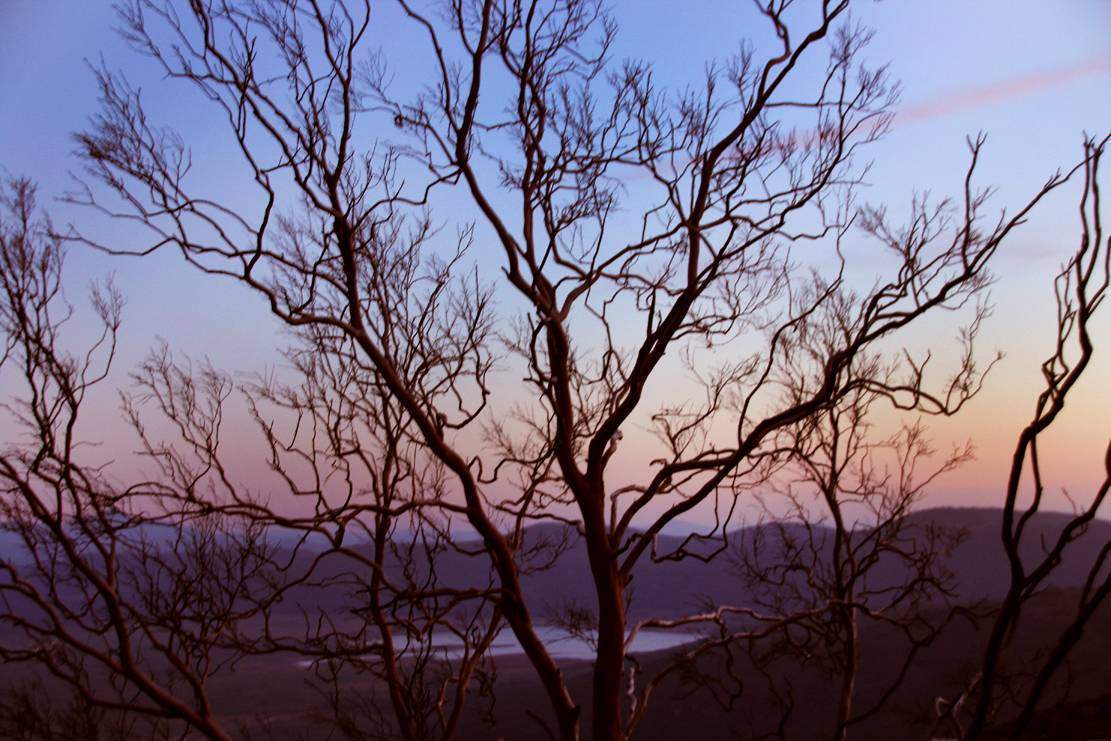
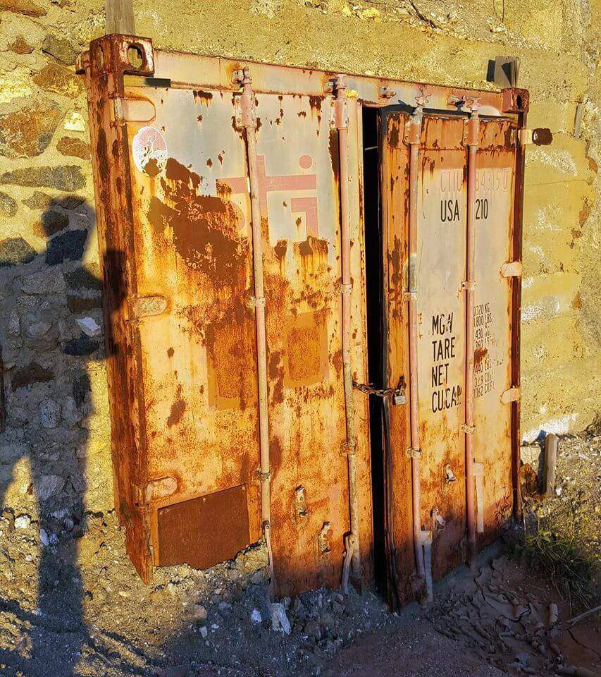
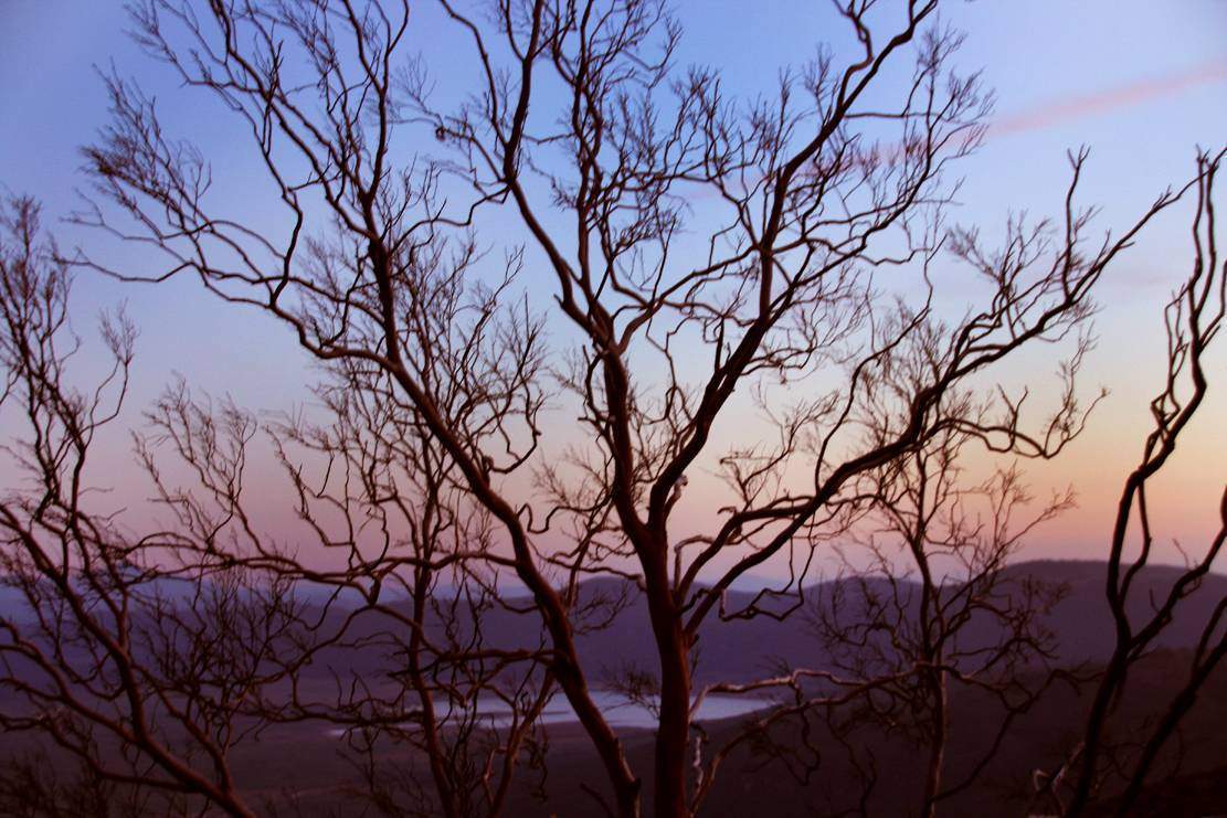
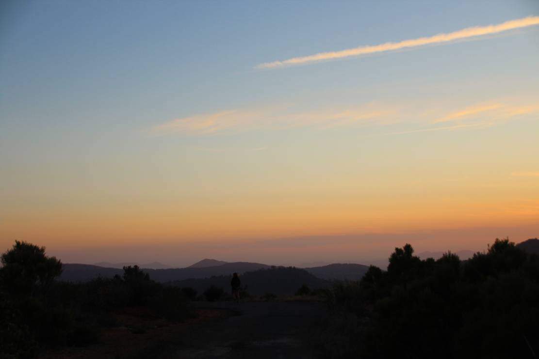
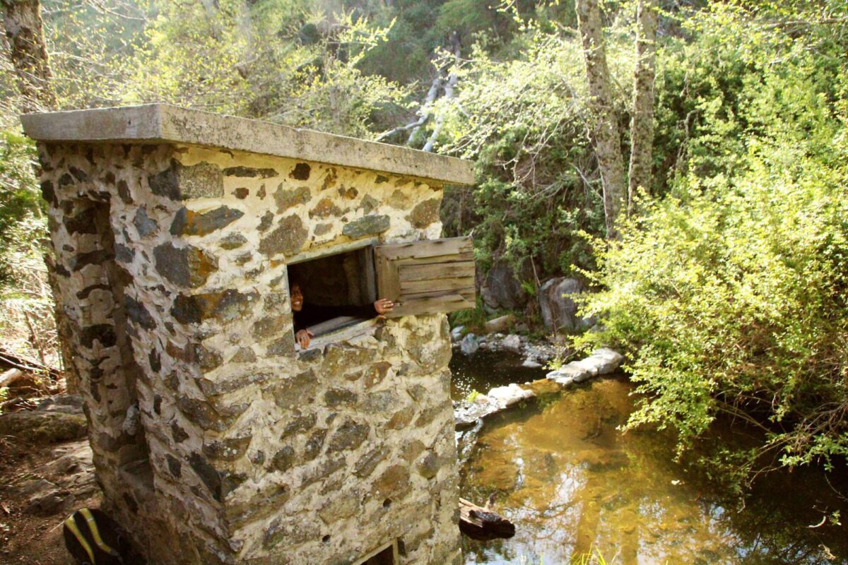
My friend Bernie ran a mile down the hill at sunset to try to find the mine. He was successful but it is completely sealed up. There is another mine that is still in use nearby. You cannot visit it as there are people on the property 24/7: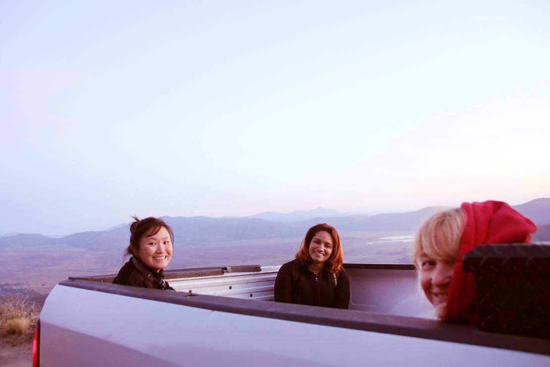













Ian
I know Bernie! We hiked Bell BLuff a couple of weeks ago!
Small world.
February 15, 2016
So Cool
wow this is awesome
February 17, 2016
Shannon
I can’t wait to hike this!
February 20, 2016
Anonymous
been out to barker valley many times great hike if you do make it to the falls tred carefully one false step and its a 50 foot deadly plunge to the bottom last time went out got caught in a summer rain storm the trail leading to the falls suddenly became a lil river on the way back from the falls good times
March 4, 2016
Anja
Thanks for the great advice! We just hiked it and had a great time. A few comments: the waterfalls and creek were completely dried up so I definitely recommend bringing in all your own water. There were some ‘swimming pools’ but the water was standing water that was pretty gross – you could filter it if necessary though. We also ran into a rattlesnake on the trail to the waterfall that was definitely coiled and ready to spring so keep an eye out!
Thanks again!
July 10, 2016
Tiffany
Do you know if you can reach Barker Valley via the Doane Valley trail?
April 12, 2017
JB7HEBEAST
This not the same tunnel. Im watching it rn and it aint it so stfu. Yall wrong. And that nigga not brave, he kept whining the entire video. Wtf?
April 17, 2017
Anonymous
No, you cannot reach the area from Doane Pond. The Webber Ranch and Observatory unfortunately restrict access over the entire top of the mountain, as it is under private ownership. Several years ago, my wife and I tried accessing a portion of Palomar Divide Rd via the Observatory, and were shortly thereafter escorted out by a staff member at the Observatory. There is an old road system shown on topo maps that connects the Palomar Divide Rd from the Warner area all the way to the base of Agua Tabia that is now cut off via the Indian Reservation, Webber Ranch, and Observatory. Though I haven’t driven the road from the Warner Springs side in 3 or 4 years, I handled it well with my Toyota Tacoma at the time. As for the gate being locked at the highway, I have noted military doing maneuvers out in the “weeds” just past the gate, so one never knows why it might be closed from time to time.
December 20, 2018