Monument Peak
0 Reviews
Hello everyone! This is a friendly reminder that any of these fun places we may visit, we are a guest at. Please treat both businesses and trails with the utmost respect. We here at Hidden San Diego follow the 'Leave no Trace' mantra, meaning whatever you bring with you comes back with you. If you see trash on a trail, please do your part to help remove it. Remember, we are not picking up trash from another person but instead cleaning up for Mother Nature. Happy adventures!

Desert View Rd.
Pine Valley, CA 91962
32.869587, -116.413954
Dog Friendly: Yes Kid-Friendly: Yes
Hike: 5.5 miles Level: Moderately easy
Elevation gain: 1000 feet
About Monument Peak
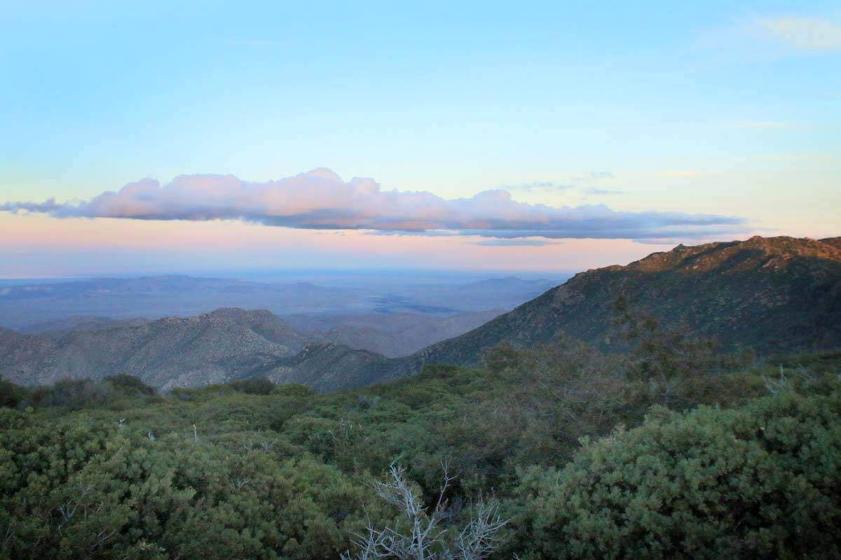
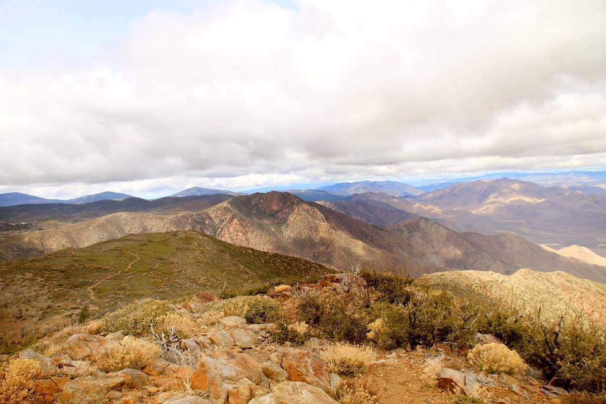
Monument Peak sits along the edge of the Laguna Mountains, with the gorgeous views of the Anza-Borrego desert lying below. There are multiple ways of getting here, but took that trailhead that starts at the Desert View Picnic Site. There will be signs stating so.
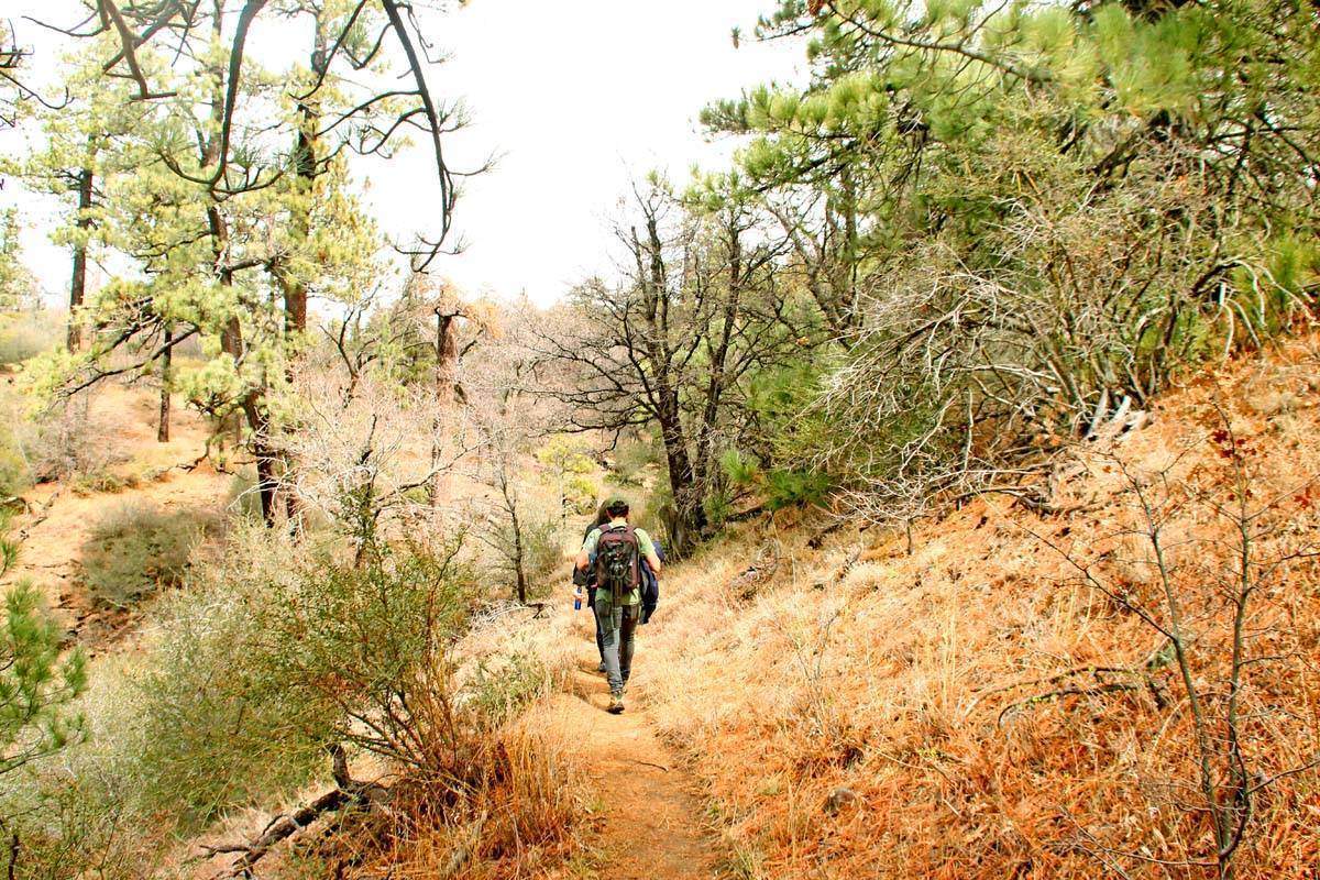
You will actually walk along the Pacific Crest Trail for a moment! When we went there was a lot of fire damage evidence along the hike.
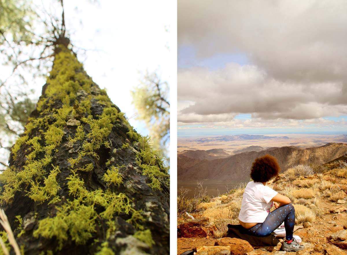
There will be a point during your hike where you pass a paved road. You can either walk up it and get to the peak quicker or walk across it and continue on the dirt path. We chose to continue on the dirt path.
While you’re in the area, make sure to visit Cuyamaca State Park nearby!
From what I was seeing online, Monument Peak is one of four sites that has NASA’s space geodetic techniques. Those included are the MOBLAS-4 SLR system, which has occupied this site since 1981, and a GNSS antenna. Monument Peak also hosts an EarthScope seismic station.
Monument Peak is also on the Hundred Peaks list of the Sierra Club.
And here we are! We visited the peak next to it (5 minute walking distance between the two) during the day then drove back later at night along the paved road to photograph from the true Monument Peak.
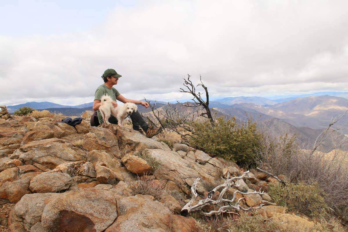


The sunset was magnificent!!