HIDDEN GEMS OF POWAY
**THIS IS AN ONGOING PAGE OF UNIQUE HIKES AND PLACES TO EXPLORE IN POWAY**
If you are a business and feel like you should be included in our list, please shoot us an email: [email protected]!
Poway, originally called Pawiiy” or “Pauwai, means “the meeting of little valleys”. This town has deep roots tied to the Kuumeyaay Natives, dating back to the 16th century. Artifacts such as arrowheads, spear points, metates, grinding stones, and pottery found along the bed of Poway Creek all indicate an early Diegueño presence. The Natives roamed this area for hundreds of years before the colonization of European settlement.
American settlers originally came here for farming and ranching purposes. In the 1880s, families were settling on farms, planting orchards and vineyards, beekeeping, dairying and raising grain. The area was later used as a halfway stop for stages from the north and from San Diego. Today, old remnants of the past remain but often require some good digging or following old trails.
We also have a handful of spots on our site whose locations are hidden to members only. Please see our complete list of members spots here. With that said, here is our list of hidden and fun spots to visit while in Poway:
1. OLD POWAY PARK
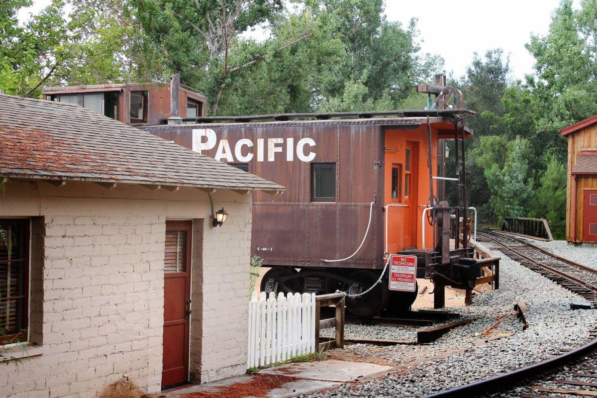
Old Poway Park is not just a cute park to have a family picnic at. Historic buildings from around Poway were brought to the site and restored. Included are Poway’s first assembly hall, the International Order of Good Templars Hall and the Nelson House. A train barn was built to house the steam engine, a 1938 Fairmont Speeder and ore cars, and an 1894 L.A. Yellow Trolley.
The Overshiner’s Blacksmith Shop and the Gazebo were built to enhance the ambiance of the “turn-of-the-twentieth-century” setting. A two-acre green park for picnics was styled after the Teddy Roosevelt National Park system.

2. METATE MEADOWS
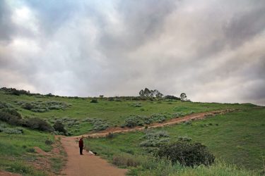
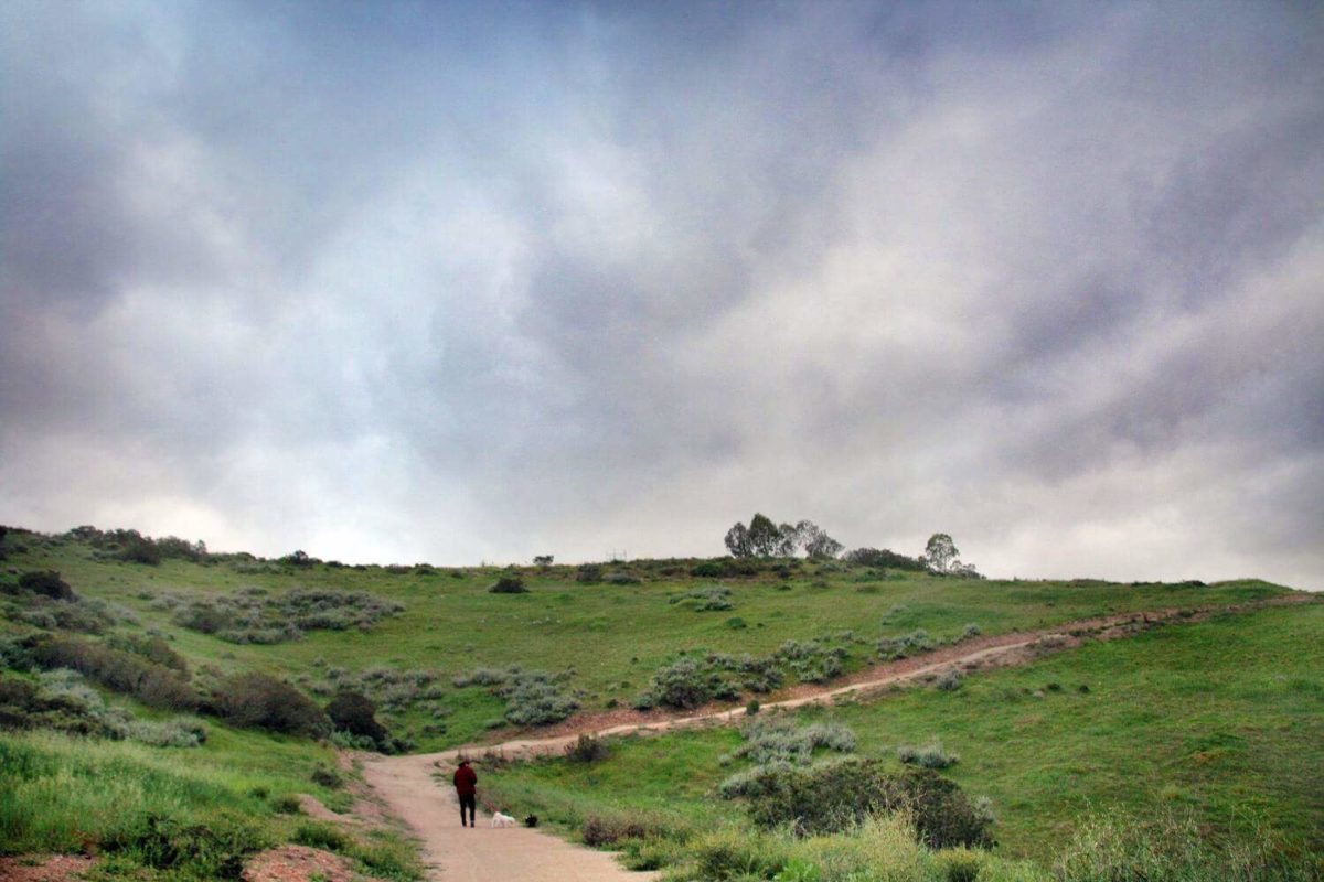
I am posting this spot mainly for photographers and filmers as it is not a crazy hike, just beautiful. ? After posting a photo of Metate Meadows on our Instagram and Facebook pages, a lot of people were wondering its location. I decided it is pretty enough to have its own page. This is one of those spots that you will want to visit in late winter through early spring to capture all the beauty, otherwise there is really not much to see or explore. This becomes a field of dead weeds and dirt come summer.

3. IRON MOUNTAIN
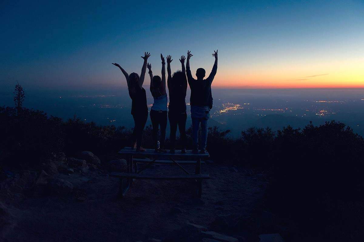
Iron mountain is located in Poway and is the second highest peak in this town. From the top you get beautiful panoramic views that can be seen all the way to the ocean on a clear day. Be aware that the trail has a lot of rocky patches which can be dangerous. Make sure you’re paying attention to your footing to avoid injury.
During the summer months, hiking can become unbearable. That doesn’t mean that most of us stop craving nature and adventure. This is the perfect time of the year for evening and night hikes! Iron Mountain is one of the most popular hikes in San Diego, but once the sun goes down you literally have the entire mountain to yourself!
4. OLD POMERADO RD.
Old Pomerado Rd. has so much historical background that it is nice enough to possibly visit just for the history alone. Sadly there is not much that remains today to back up its past. If you head west of the road into the woods though, there is a whole world back there for exploring complete with a secret lake! To the left of Old Pomerado Rd. on Stage Stop Dr. are some old ruins worth investigating, but please view from the road as this is a residence. Stage Stop Dr. used to be one of the stops for the stage coaches to refill. At the end of the road are some old historical buildings and a well but I’ve been told this is all on the owner’s property and he is not okay with visitors so please stay off!

5. CYPRESS CANYON
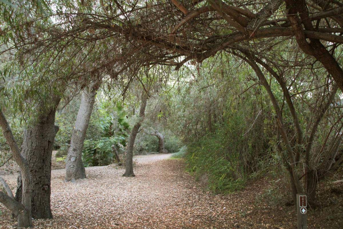
There are a lot of secrets in these woods. We have only begun to scrape the surface which is incredibly exciting! I have read that there are remnants of the old stage coach road out here which we may or may not have found. I have included a photo of where I think it is. Out here you can find a lovely creek, several ponds, huts, creepy “guardians” of mentioned huts, old remnants of the old-but-not-forgotten past and I am sure so much more! This area is deeply shaded in many areas making it nice to hike in hotter weather when you still want to get outside. Watch out for poison oak though as it is everywhere! It is also nice to hike to the flag atop Cypress Hill which is in this same area.

6. MEADOWBROOK TUNNEL
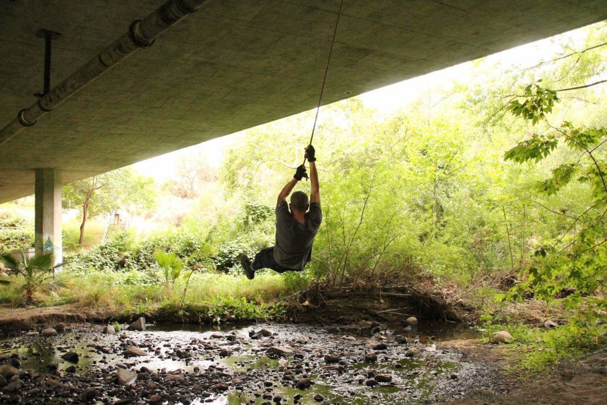
I know some of you are into this type of urban exploration, so I thought I would begin showing storm drains. I’m a bit of a claustrophobic wuss so I cannot tell you at this point how far this drain goes or whether or not it breaks off into multiple directions. I can tell you that the exploring we did do was a lot of fun and with a larger group I would maybe be willing to go much further. If any of you have gone through this drain, I would love to know where it ends up! There were what sounded like thousands of frogs in the pond also which added a nice touch.
7. POWAY BACK-TRAILS
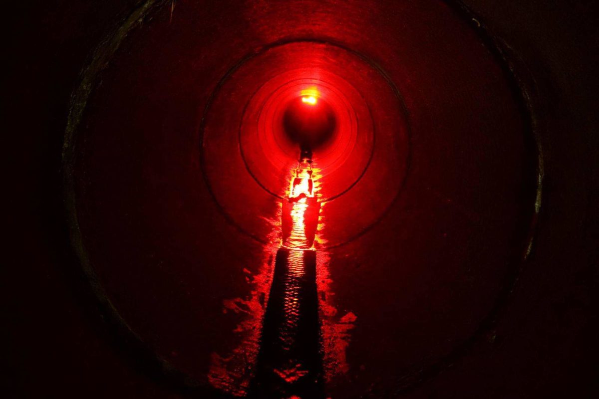
Poway is filled with back trails and horse trails as an alternative to walking the sidewalks along the busy roads or even residential neighborhoods. We’ve found some really pretty trails during our explorations that I’d like to share with you Powegians or even those who’d like to explore this town more. So far we have 3 back-trails/horse trails to share! I do not know any official names of these trails so if anyone wants to help out it would be greatly appreciated!

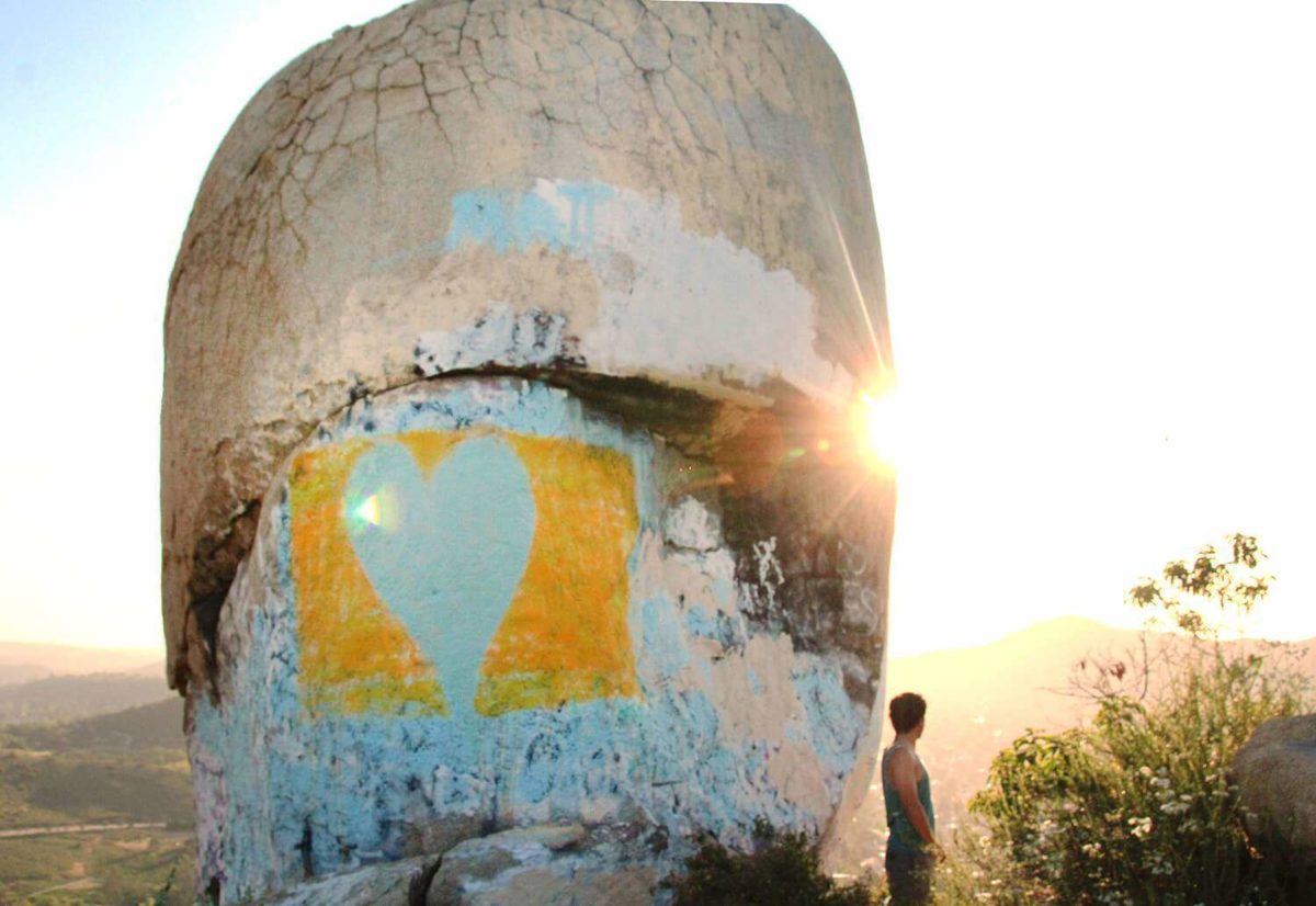
8. TOOTH ROCK
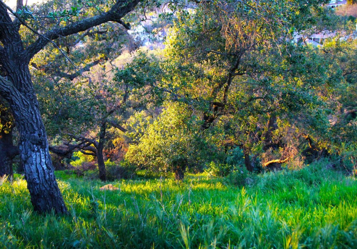
I remember hearing many years back that Tooth Rock was used as a marker for Native Americans during their long journeys. Ever since then I have been interested in visiting this spot. I was certainly not disappointed once I finally visited it! Tooth Rock is impressively large up close and offers a beautiful view of the valley. The hike is not too strenuous, although there is a hill you have to climb so be ready for it! The trail up the hill is filled with rocks, making it a bit difficult to climb. Make sure to wear proper hiking shoes.

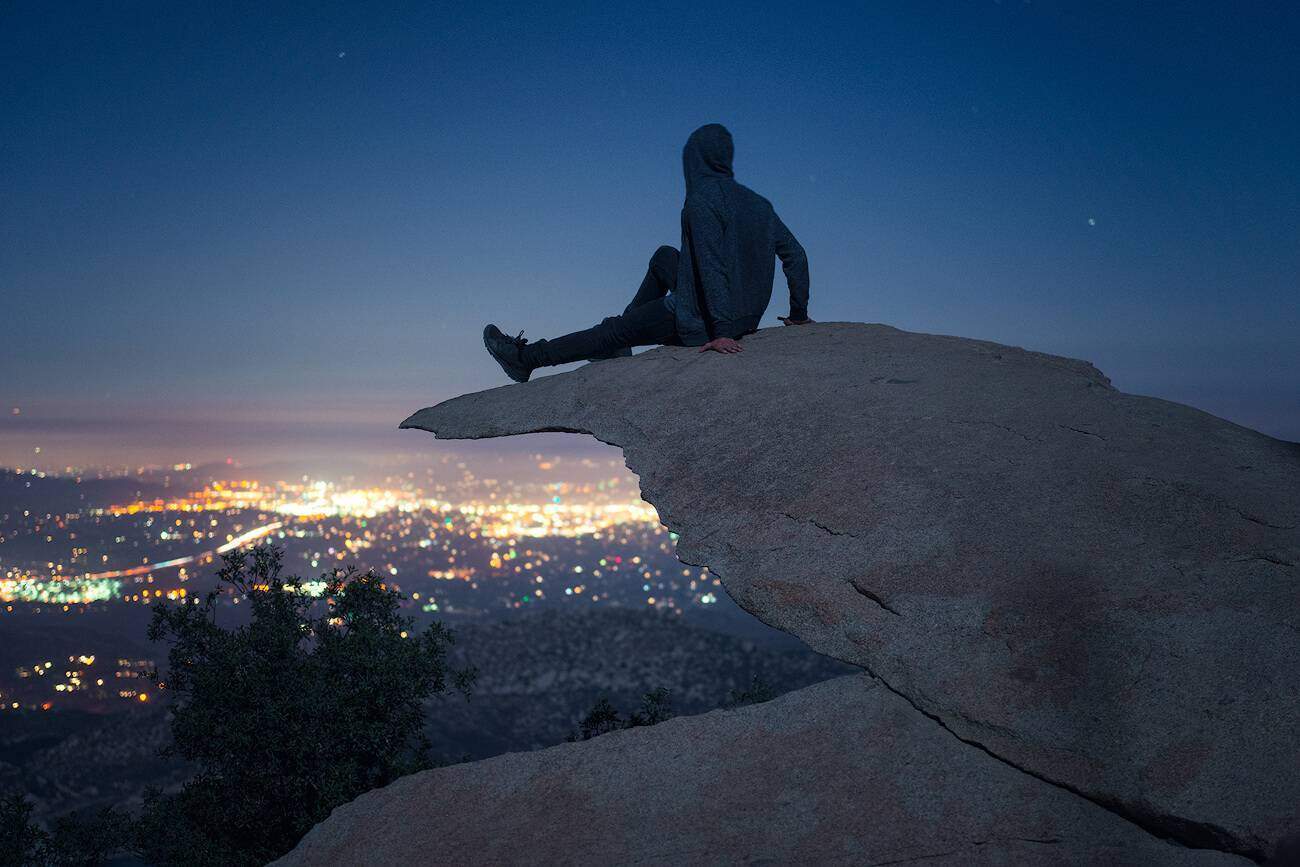
9. POTATO CHIP ROCK
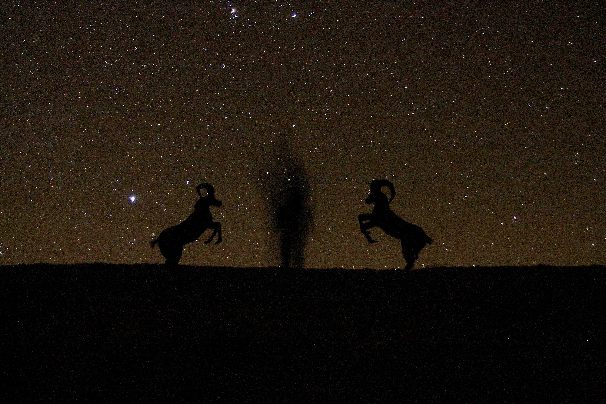
Since this hike took the internet by storm years back, I have been adamantly against visiting it. Still, I longed to get some really neat night shots. Going at night seemed like the best way to avoid the hoards of people & long lines waiting to pose on top of the thin rock with a seeming drop below to your death.

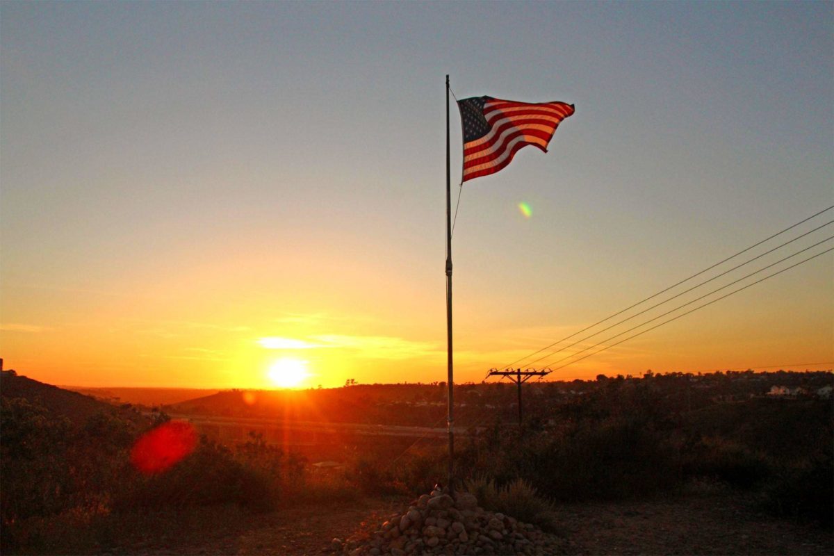
10. CYPRESS HILL
There are flags on hills and mountains throughout our city. It is my personal goal to hike to all of them! This specific hike is quick but is definitely a good workout. Just like the Hissing Hills nearby, this trail is FILLED with rocks making it quite difficult to walk up. Be ready for that! The view isn’t the best in the city due to all the housing, but you should feel a small accomplishment once you make it to the top. This is a great spot to watch the sunset.
11. RATTLESNAKE MOUNTAIN
The Rattlesnake Mountain really lives up to its name. We explored in early autumn and came across FOUR rattlesnakes in under an hour at NIGHT! Pretty darn scary! This whole area was once inhabited by the Kumeyaay people. There are mortars and metates which can also be found in this region.
In the springtime, this area becomes a rainbow of color. You can spot California poppies, lupines, owl’s clover, popcorn flower, phacelia, wild morning glories, ground pink, and wishbone bush.
In this area we found an old cistern that appears to have been built sometime in the late 50’s/early 60’s going by aerial photos, an old mining prospect and a stone dam. In the late 1800’s a prospector found gold in this region creating a small gold-rush flurry.
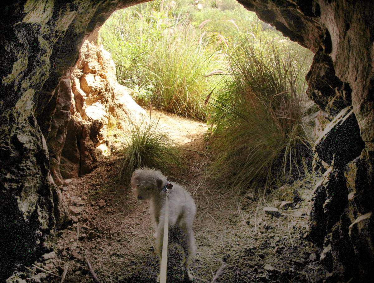

12. MIDLAND TUNNEL
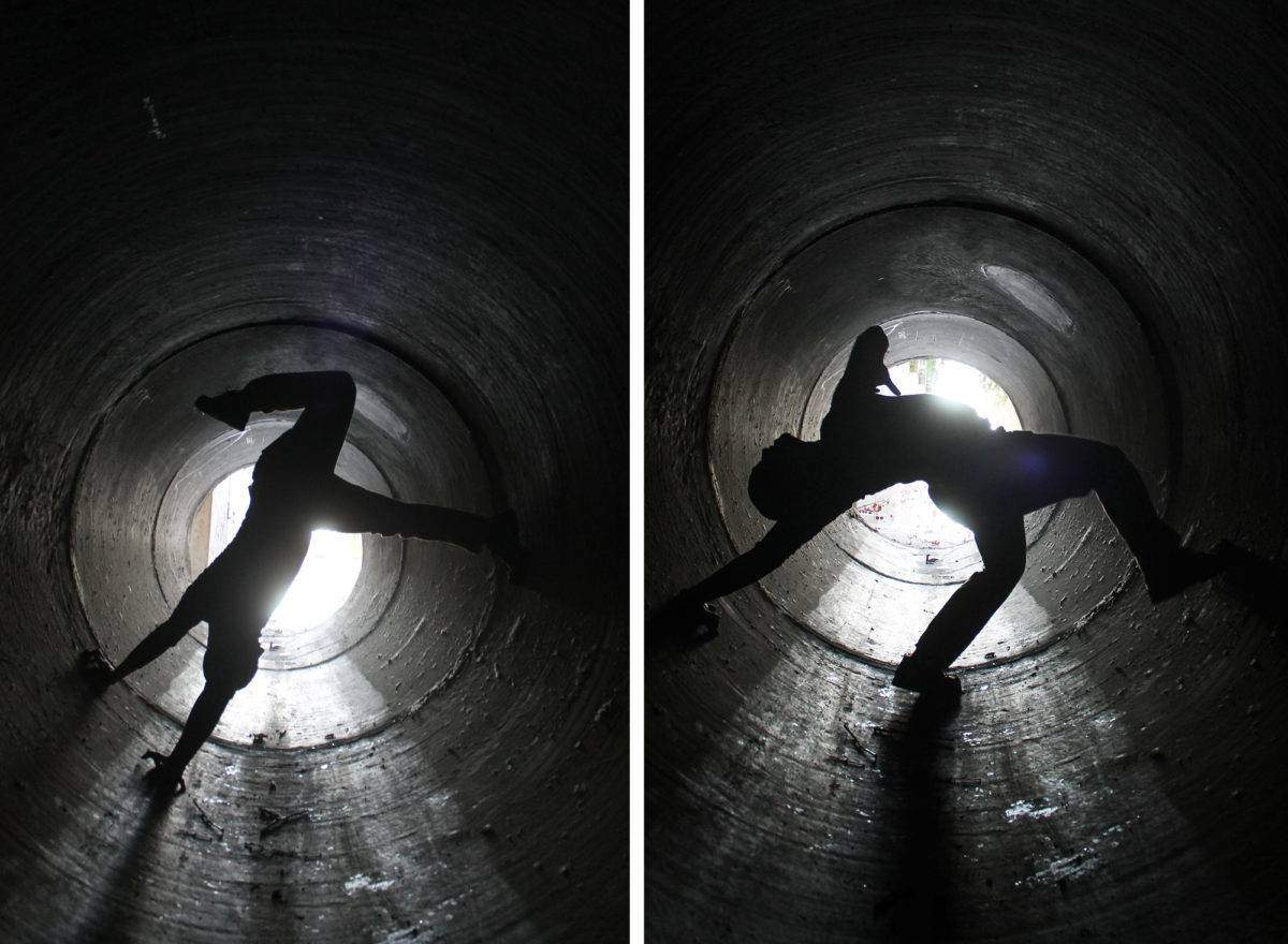
The Midland Tunnel was discovered one day during a walk, and since I know a handful of you enjoy exploring storm drains I figured I’d put it up here! We didn’t make it too far because there were bats inside! Agh! I’m actually intrigued to get up close and personal with them though so next time I am going to have some sort of armor and mask on. ? I’m sure it’ll be a sight to see.
13. POWAY STAGE COACH STOP
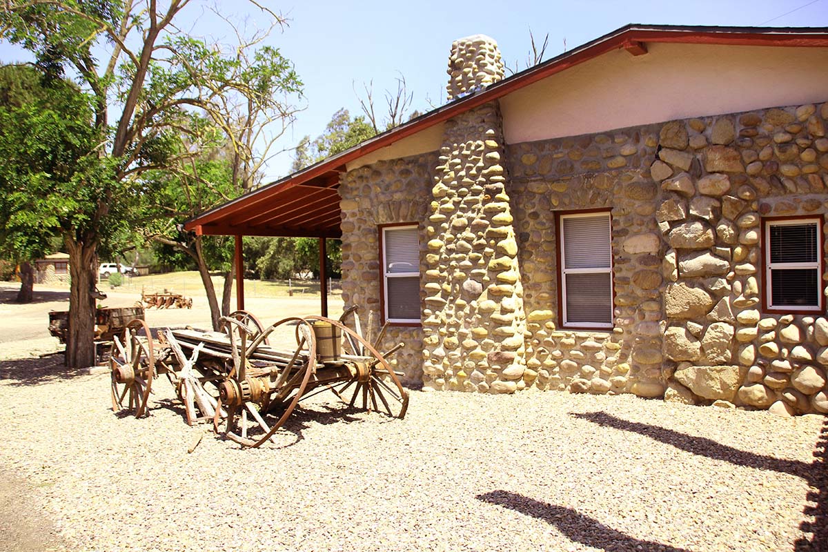
Visit one of San Diego’s oldest stagecoach stops. In 1888, the first stagecoach began to transport mail from San Diego to Escondido. Back then, Poway (known as Paguay at the time) was called the Twenty Mile House as it was 20 miles from San Diego and 20 miles from Escondido. Due to its convenience, it was used as a rest stop for tired passengers. The stage would make one stop at the post office in Poway and then continue on its way. 8-10 passengers were allowed to ride the stagecoach on the 3-day journey for $1 or a round-trip for $1.50.
14. BLUE SKY RESERVE & LAKE POWAY
Blue Sky Ecological Reserve is a 700-acre oak-lined canyon flanked by coastal sage scrub and chaparral-covered hills. The Reserve is home to a wide variety of flora and fauna. Brilliant colors of wild flowers on the hillsides in spring, the songs of birds, and the tree-lined creek provide an inviting escape for a nature walk. The trails are open to the public free of charge during daylight hours.
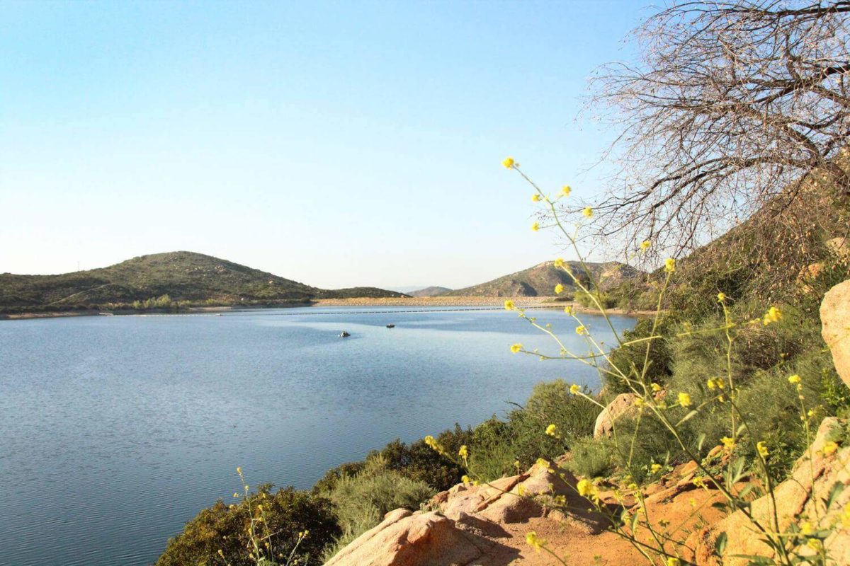
Nestled in the hills of Poway amid groves of Eucalyptus and characteristic Southern California chaparral, Lake Poway offers annual community events, fishing and boating, an extensive trail system, picnicking, softball, summer day camps, and more. The lake serves as the water supply for Poway residents and has provided excellent outdoor recreation opportunities for the entire community since 1972. There is a man-made dam connecting the lake to the reserve.
