Lake Calavera Open Space Preserve
5 Reviews
Hello everyone! This is a friendly reminder that any of these fun places we may visit, we are a guest at. Please treat both businesses and trails with the utmost respect. We here at Hidden San Diego follow the 'Leave no Trace' mantra, meaning whatever you bring with you comes back with you. If you see trash on a trail, please do your part to help remove it. Remember, we are not picking up trash from another person but instead cleaning up for Mother Nature. Happy adventures!

Tamarack Ave
Carlsbad, CA 92010
33.171116, -117.288262
Hike: There are many trails in this area Level: Easy to moderate
Dog-Friendly: Yes Kid-Friendly: Yes
CHECK OUT OUR LIST OF ALL HIDDEN GEMS IN CARLSBAD!
About Calavera Lake
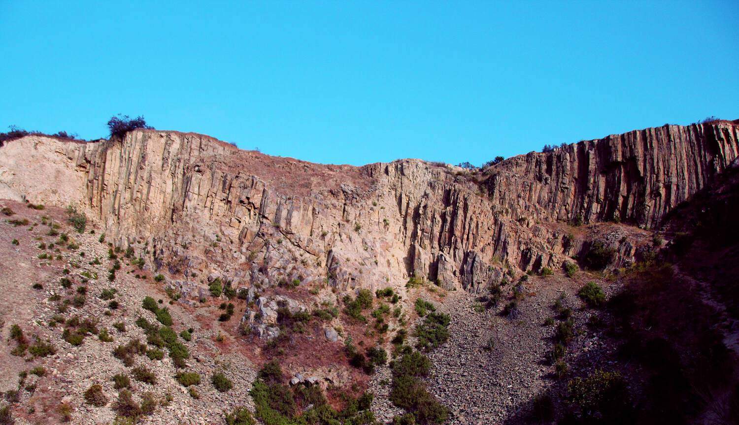
I bet this may come as a surprise to many, but San Diego has it’s own volcano that was active 15 million years ago! But that is not all. The Calavera Lake area also boasts a lake and dam dating back to the World War II era and multiple stone labyrinths! It even had a cave not that long ago before the city collapsed it.
Preserve
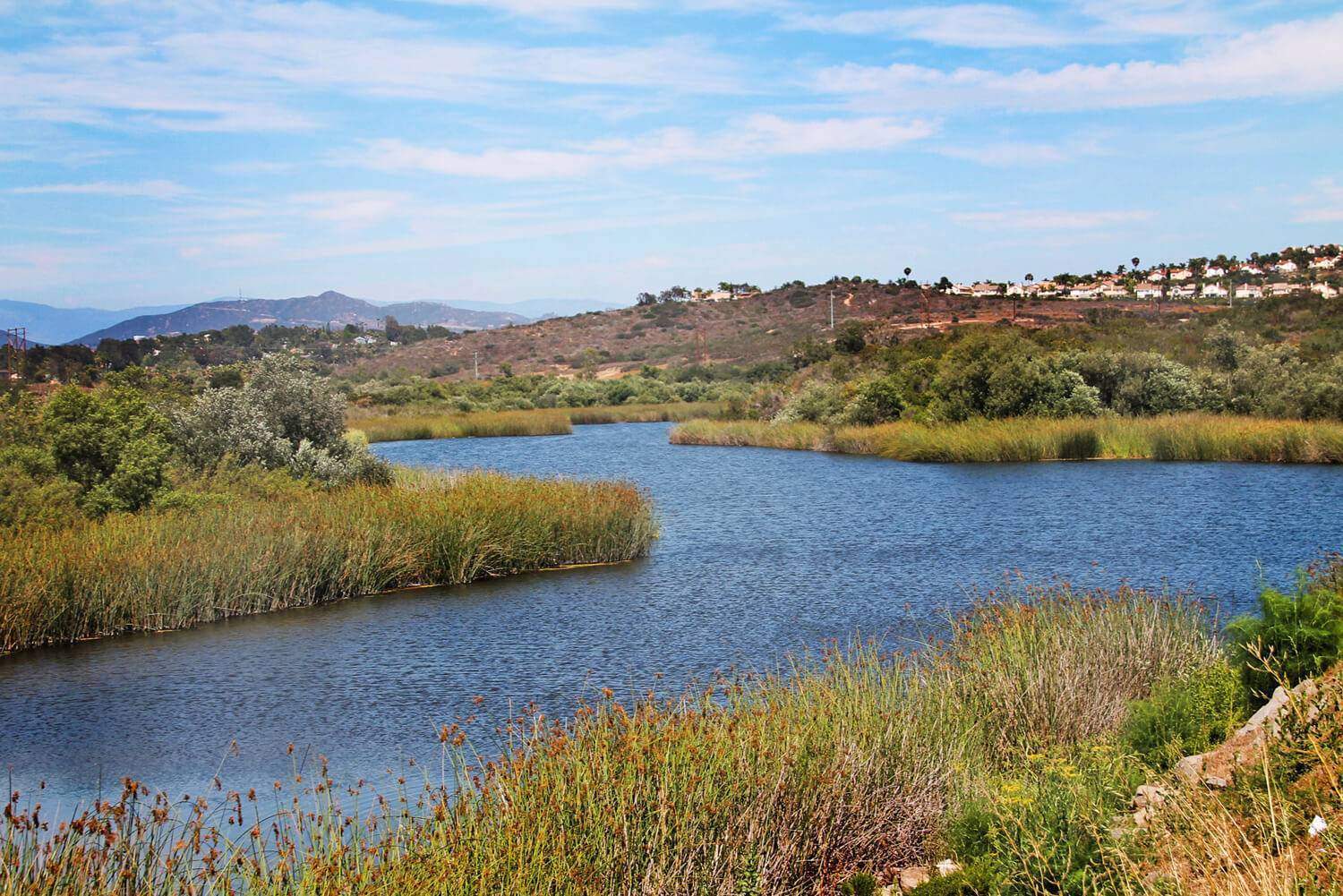
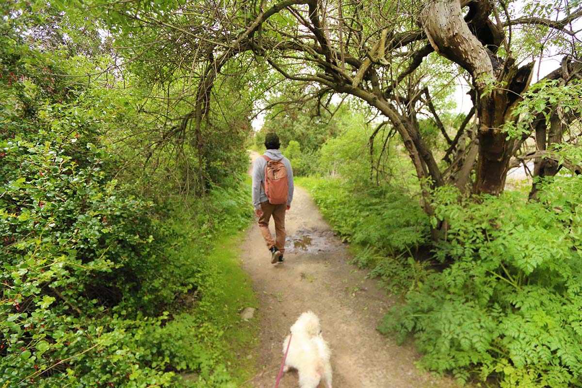
Calavera Lake, meaning ‘skull’ in Spanish, offers 110 acres and over 4 miles of hiking and bike trails in Carlsbad. The reservoir is 400 acres and managed by the Carlsbad Municipal Water District. The entire area is habitat to an identified 115 plant, 49 bird, 10 mammal and 7 amphibian/reptile species.
Of these identified species, 6 are classified as threatened or endangered. Among the area’s endangered species are the Thread-leaved Brodiaea, Orange-throated Whiptail and the California Gnatcatcher. The California Gnatcatcher is perhaps the most threatened of these species because 85% of it’s natural habitat, the Diegan Coastal Sage Scrub, has been destroyed by development.
Cave & Volcano
Update: The cave has been collapsed by the city.
As for the cave…..well, it turns out that it’s actually an old exploratory mine, known as an “adit”. This adit was mainly used as a rock quarry for valuable minerals. The Calavera Hills contains a volcanic plug which is found throughout North County San Diego.
The plug contains a fine-grain basalt which actually clogged the volcano’s throat millions of years ago. After its last eruption, the cone slowly eroded, leaving only the plug. For almost 25 years, miners used the plug to mine gravel, speeding up the erosion process.
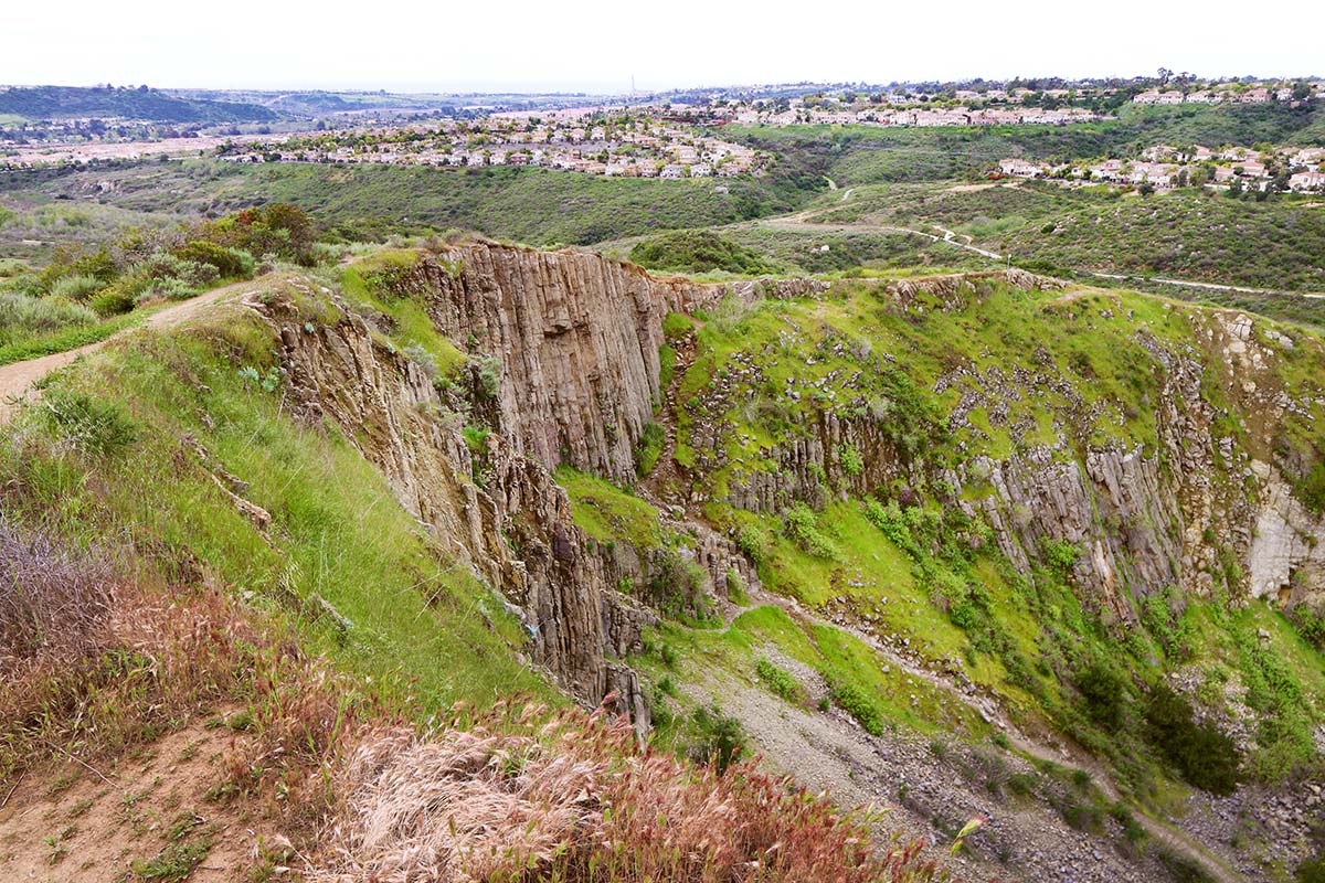
Without being radiometrically dated, the volcanic plugs are thought to have formed in the Miocane, when our coastline was transitioning from a convergent plate boundary to a transform plate motion. This transform motion is what eventually formed the San Andreas fault.
Fishing
Although fishing is allowed here, from what I am gathering on the internet, it is not an ideal fishing spot due to lack of permitted fishing areas.
While you’re in the area, make sure to check out Leo Carrillo Ranch nearby!
Labyrinth
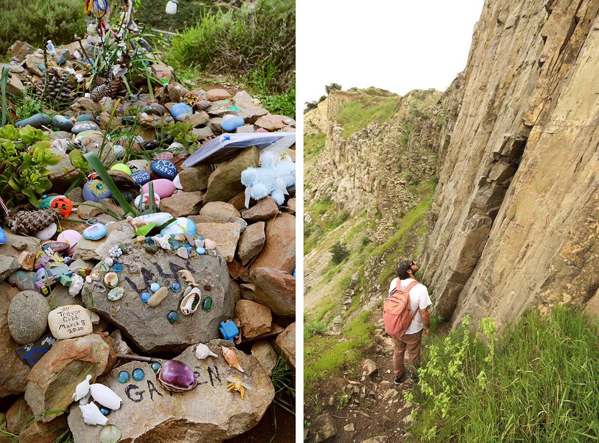
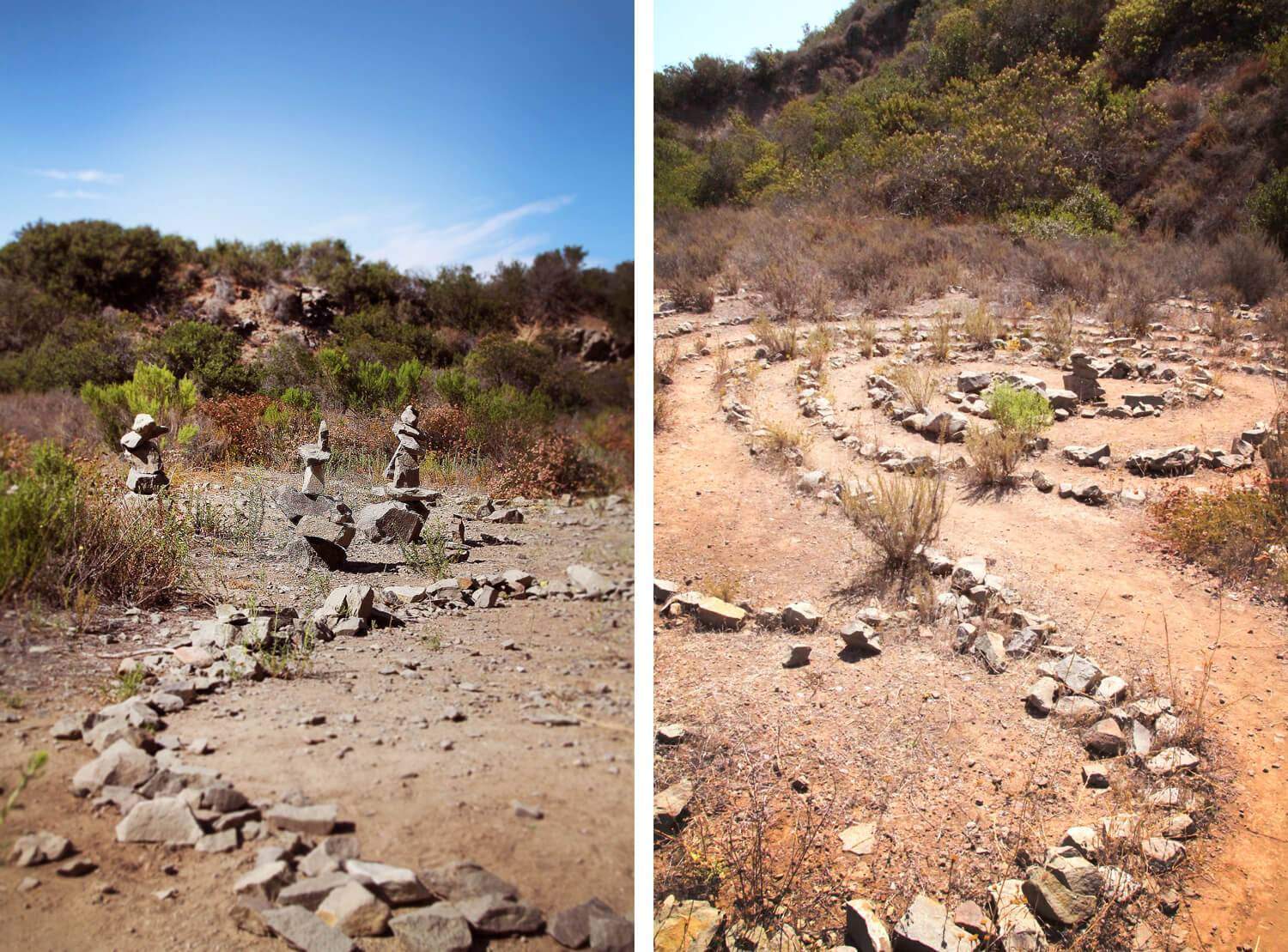
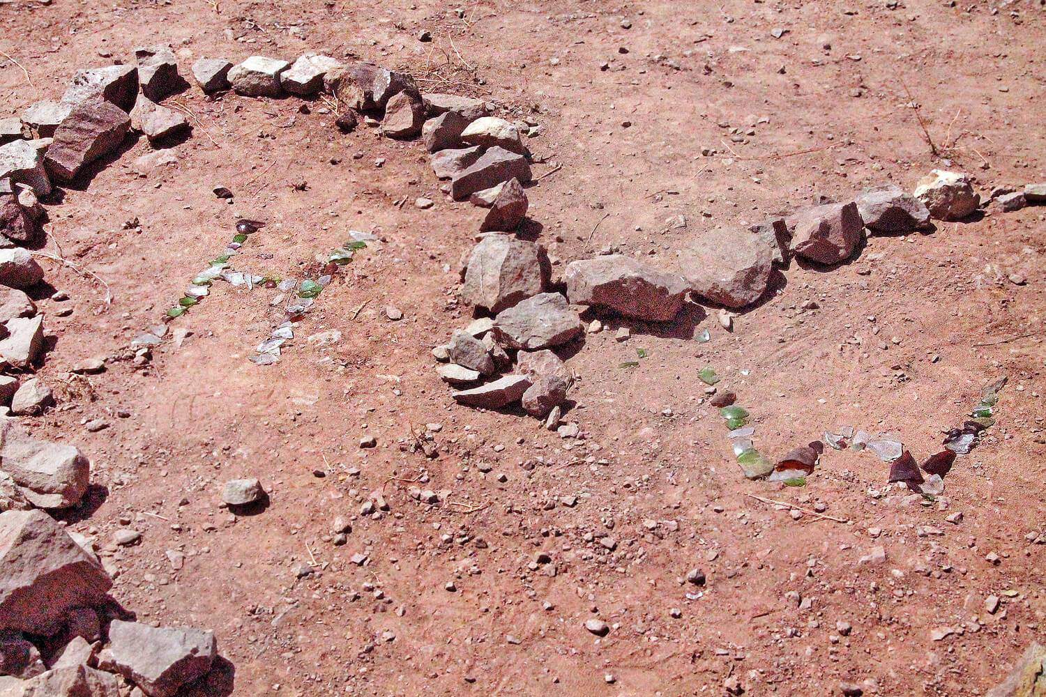
Coordinates: 33.168833, -117.284051 Before heading out here, take a good look at Google Maps on satellite to see where the labyrinths are. There are 3 that we know of although there may be more on top of the mountain. Who created them is a mystery to us at this point.
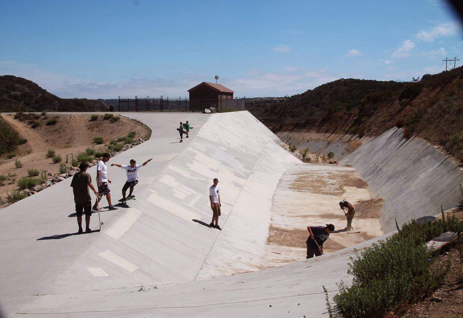
There’s a cool spot for skateboarders that you’ll walk by:
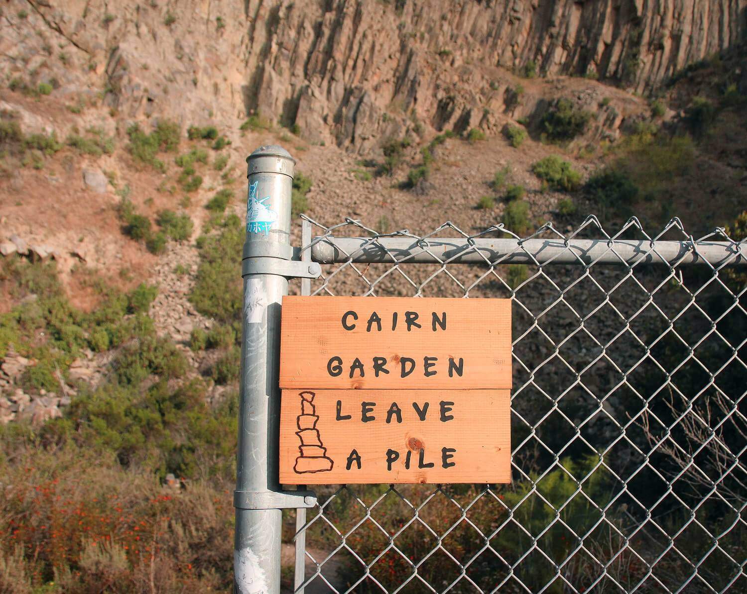
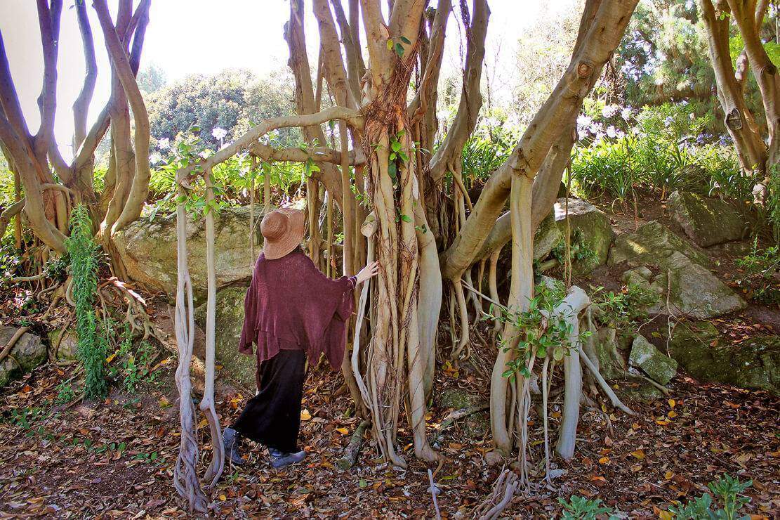
Here’s the volcano! At the base of the volcano is a stacked rock garden and several labyrinths:
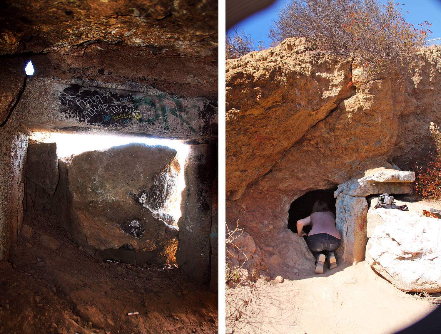
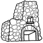
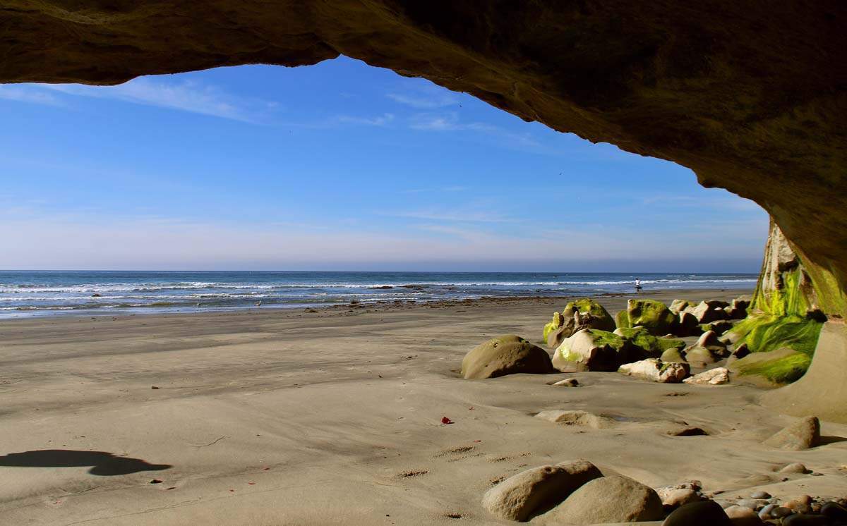
Update: The cave has unfortunately since been sealed by the city. Here are some photos of what it looked like though: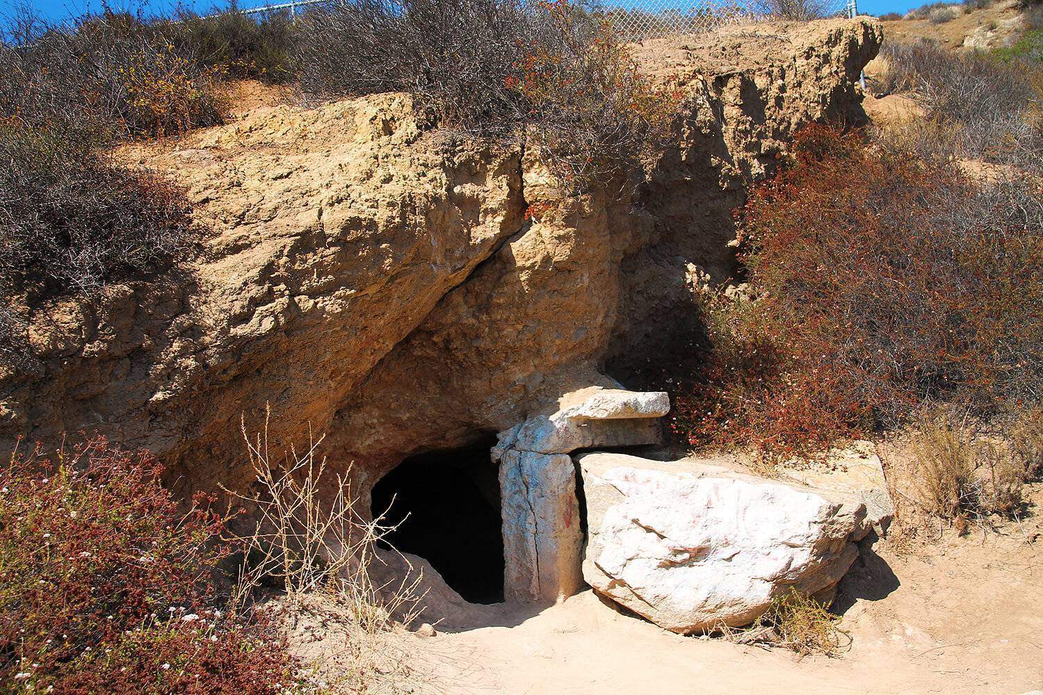 I’d say you could fit 8 or 9 people comfortably inside:
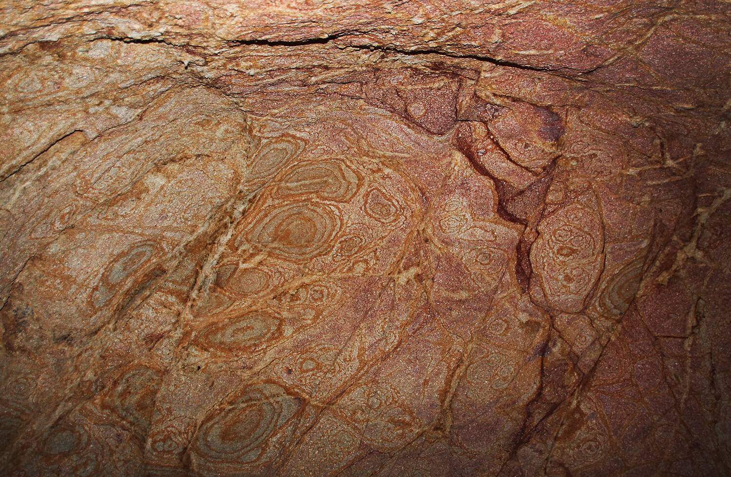
 Beautiful patterns inside:
And what it looks like now: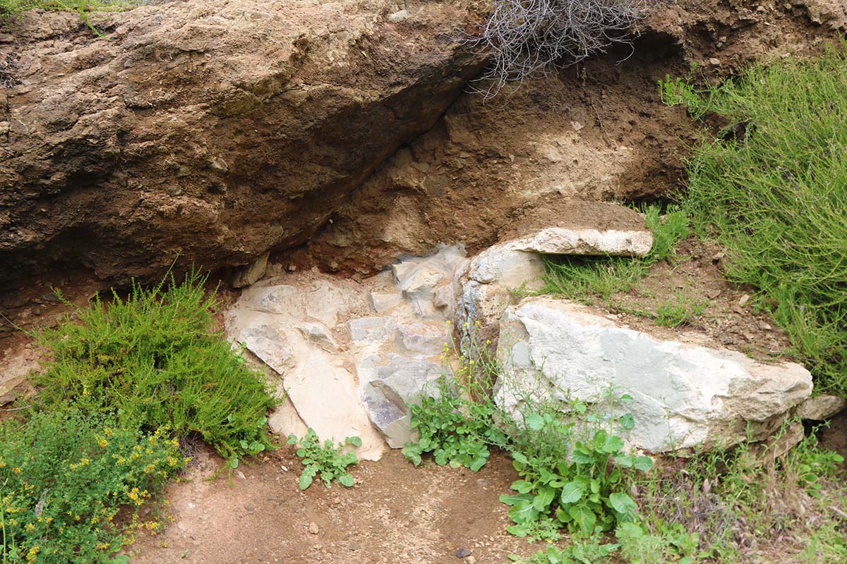
We decided to climb to the top to see what we could find. Pretty nice view!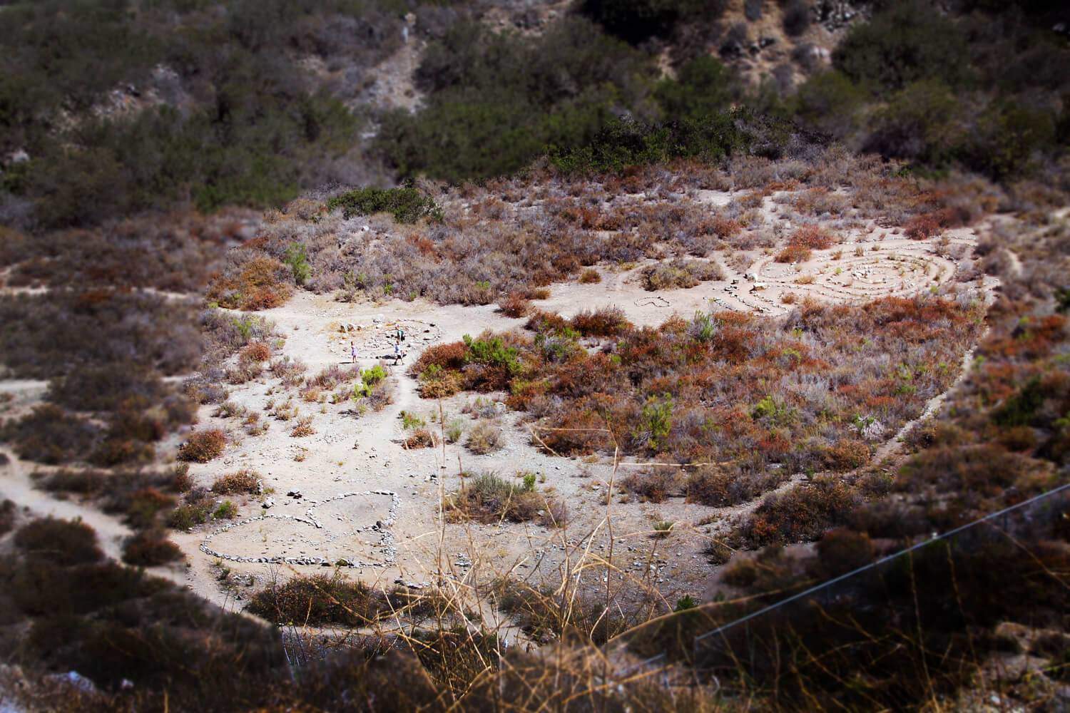
We found “Bob’s Garden” up top: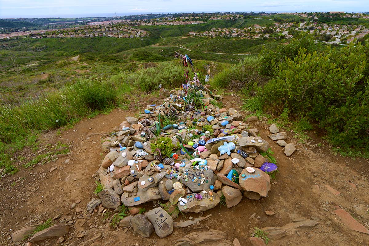
We also found old pipes and a collapsed road in the canyon: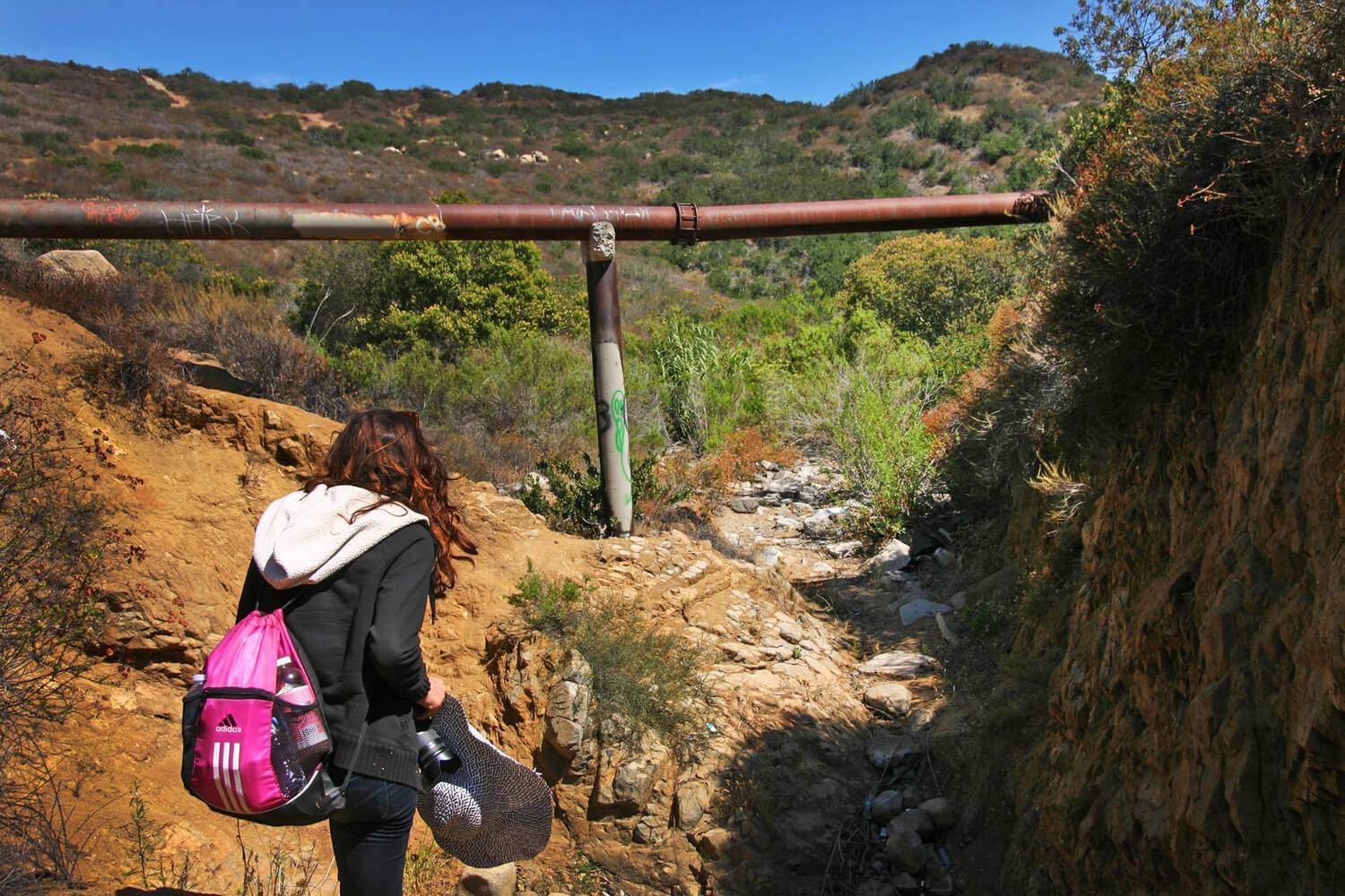










Anonymous
I think I will take my kids hete this weekend.
August 24, 2019
Anonymous
it will be a good weekend for me.
thank you
September 16, 2019
Bruce McFarlan
Very interesting, first read about this is a short piece int “Westways” and it peaked my interest since I was very much into rock hounding and gems as a kid. Growing up in S.D. I’d been in old mines in Pala and Pala Mesa but I’d never heard of this geological wonder.
January 30, 2020
Anonymous
FYI – They filled in the cave and cemented over it about a year ago.
April 30, 2020
Harley
I live near here and visit often. I heard there’s multiple caves/mines but cannot find the entrances. Supposedly more Sw of the crest. You heard anything?
March 20, 2023