Hot Springs Mountain
3 Reviews
Prices
Hello everyone! This is a friendly reminder that any of these fun places we may visit, we are a guest at. Please treat both businesses and trails with the utmost respect. We here at Hidden San Diego follow the 'Leave no Trace' mantra, meaning whatever you bring with you comes back with you. If you see trash on a trail, please do your part to help remove it. Remember, we are not picking up trash from another person but instead cleaning up for Mother Nature. Happy adventures!

Camino San Ignacio Rd.
Ranchita, CA 92066
Where to park: 33.272589, -116.543376
Trailhead: 33.272979, -116.544008
Dog-Friendly: Yes Kid-Friendly: Yes
Hike: 9.9 miles out and back Level: Moderately Strenuous
Hours: May-September: 6AM to 6PM // September-May: 8AM- 6PM
Fee: $10/person Website
About Hot Springs Mountain
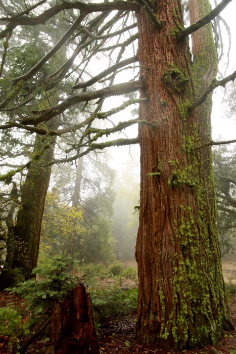
Hot Springs Mountain is the highest peak in San Diego with an elevation of 6,533 feet, which makes it 23 feet higher than Cuyamaca Peak. Hot Springs Mtn. is located in the Los Coyotes Reservation, band of the Cahuilla and Cupeño Native Americans.
The trail to this peak has been opened to the public for a few years now, largely as an incentive to help gain revenue for the tribe. The fee was $10/per person the day we went. The fee helps maintain conservation of the land and adequate living for the tribes people. Camping is also available here, which happens to be where the trailhead for the hike is.
The Hike
Although this would be considered a long hike to most, the incline up Hot Springs Mountain is pretty gradual as you slowly wind up the mountain. I always recommend going in cooler weather so you aren’t fighting heat exhaustion during your climb.
The peak offers views of San Diego, Riverside, San Bernardino, and Imperial counties on a clear day. To the north, Mount San Jacinto and Mount San Gorgonio can be seen, and on a very clear day, Mount Baldy can be seen too.
Looking east, the Anza-Borrego Desert State Park is visible, along with the Salton Sea. Visible to the south is Cuyamaca Peak. We saw none of these things during our visit due to visibility issues.
While you’re in the area, make sure to visit Indian Flats Campground nearby!
Personal Experience
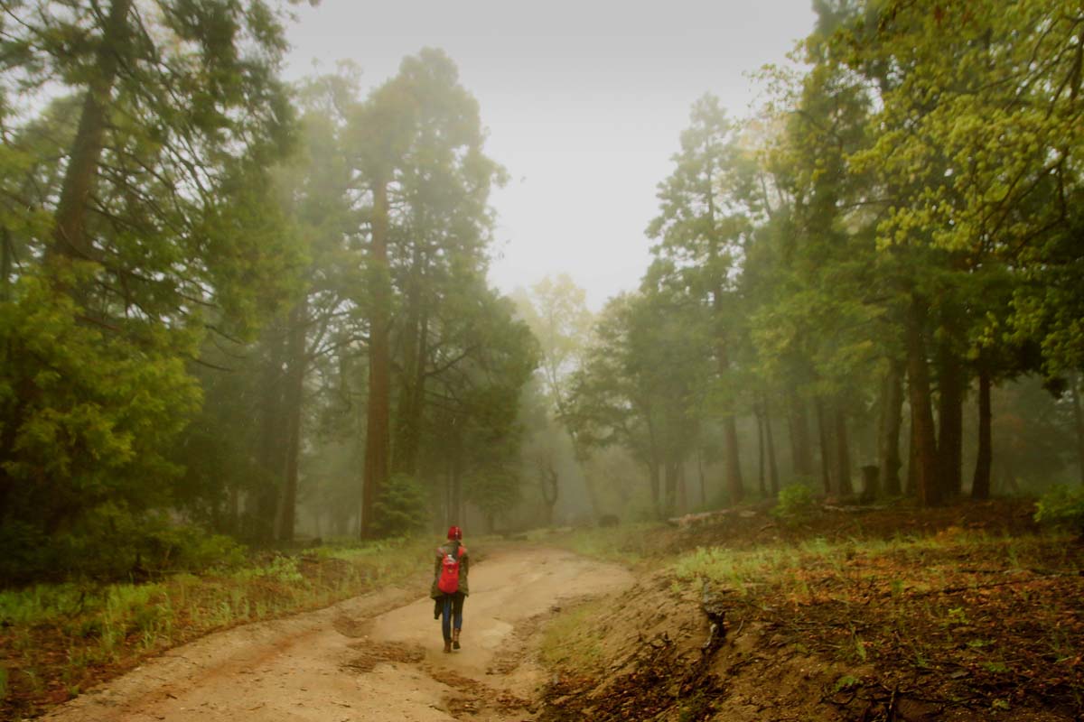
Although we did this hike in late May, 2019 had been a much cooler year thus far (thankfully) which also meant that the mountains were cooler than usual–much cooler. We started the hike off inside a cloud and it only got colder the higher we went. Personally, I love this type of weather and would pick the mysterious fog over the hot, blazing sun any day. Where I went wrong was with my shoes.
Investing in high quality shoes is an absolute must and I definitely regret the boots I wore this day. I must have stepped in a puddle at some point because my shoes and socks were soaked, which ended up freezing my feet. It got to the point where my toes were stiff and turning white. It was really scary. Other than that, I thought the hike was not too bad at all. Of course we took many breaks along the way, but how could you not being surrounded by so much beauty!
We passed two of these cylindrical structures. I am not sure what they are used for but I was very intrigued! 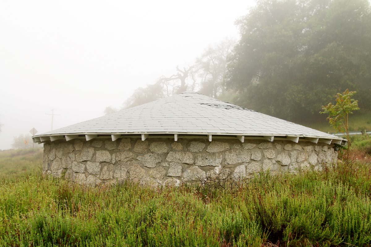
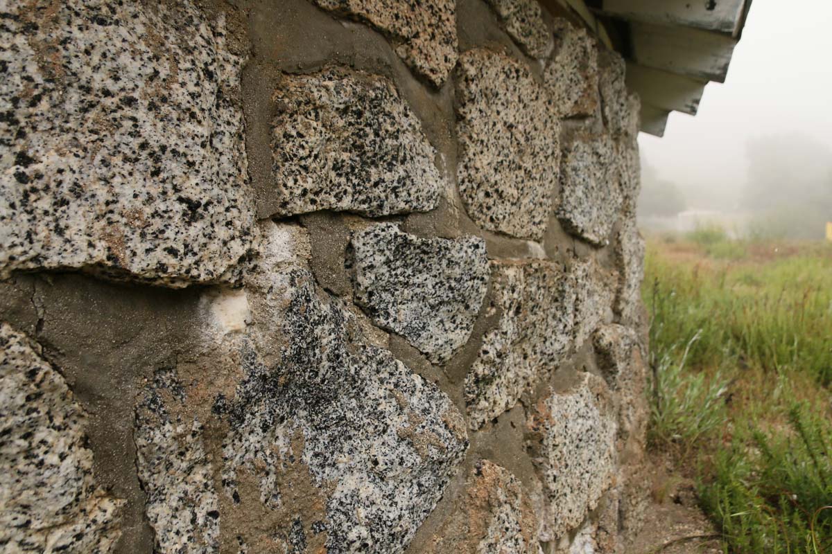
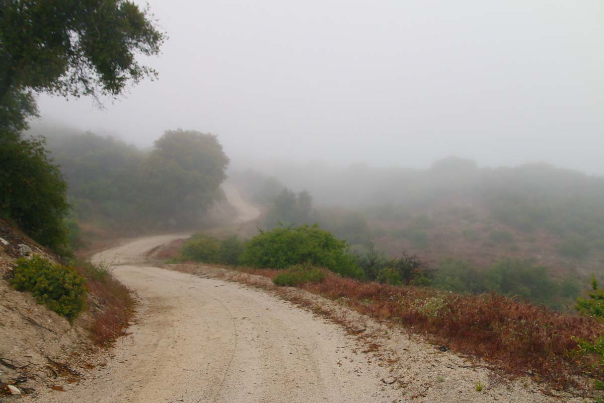
We spotted a wild turkey! 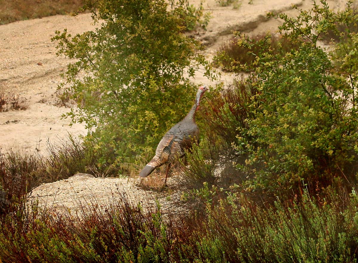
In some areas the trail was pretty rugged, but overall is was a smooth hike: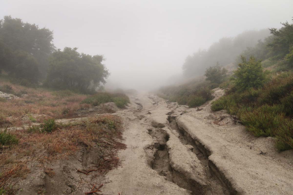
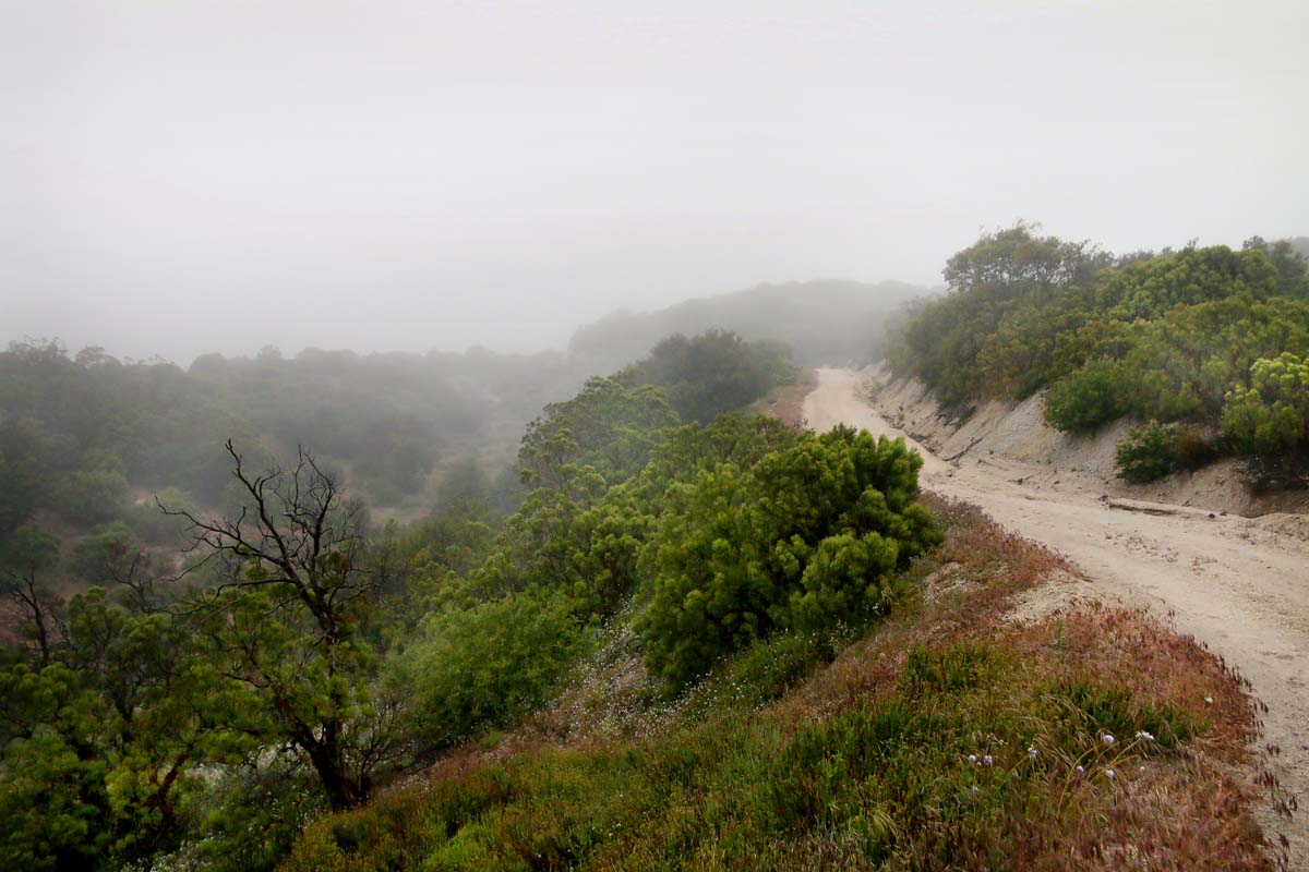
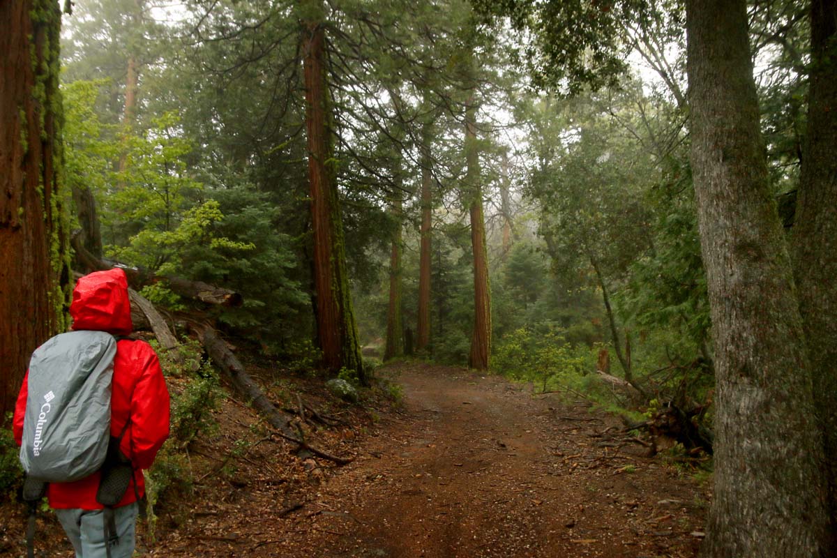
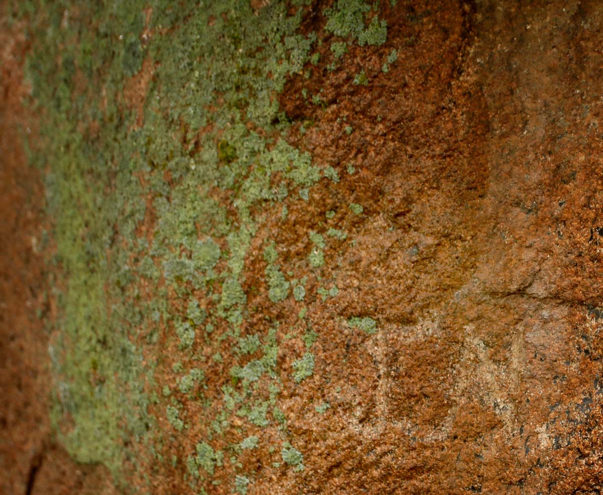
During a small rest we came upon an area that I sensed had some history attached to it. I examined the rocks nearby and sure enough came across several metates and some old scrawling on a boulder! It has an interesting symbol and someone’s initials below it. I wish I knew what it meant and how old it is! 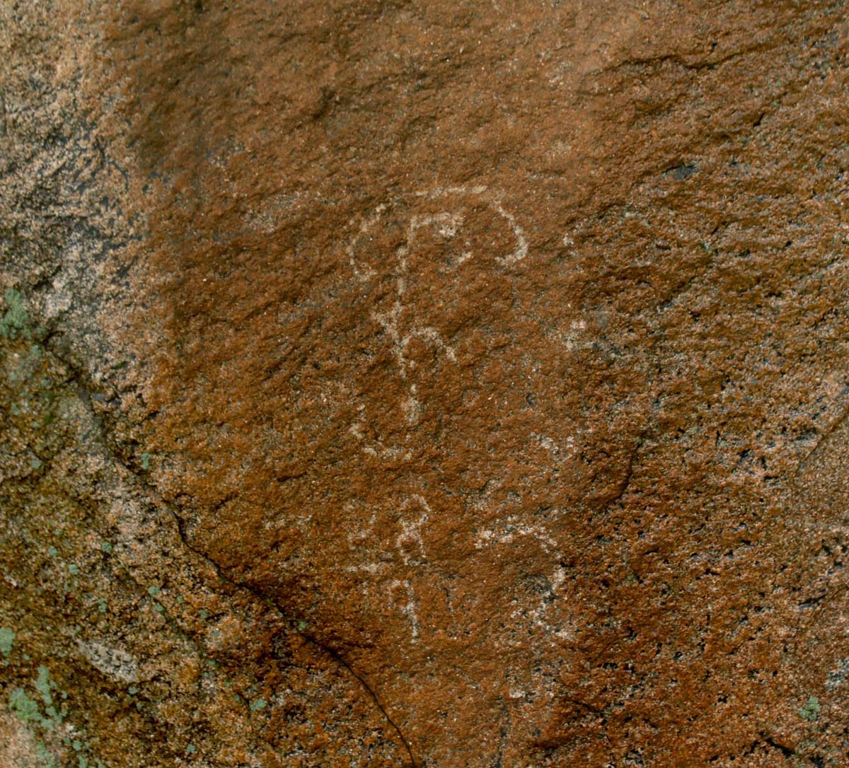 The initals J.N. could be faintly seen below:

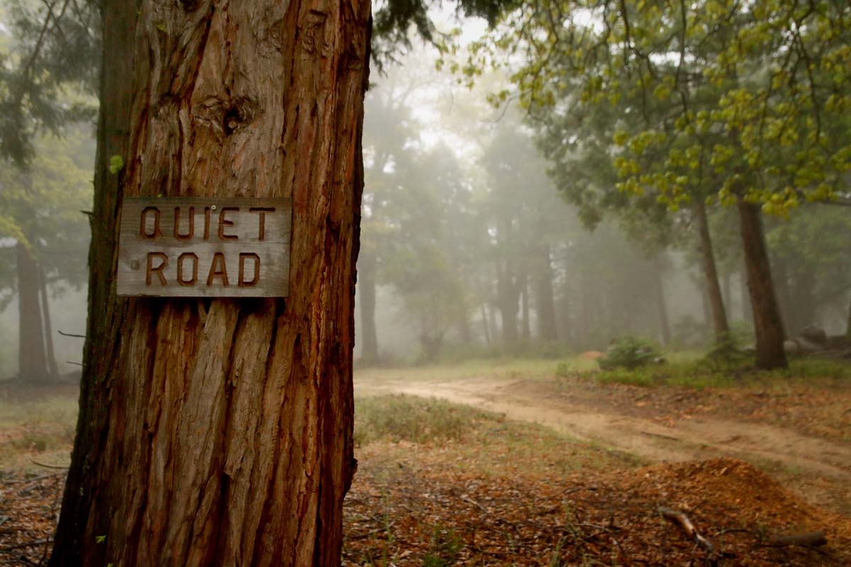
And a mortero: 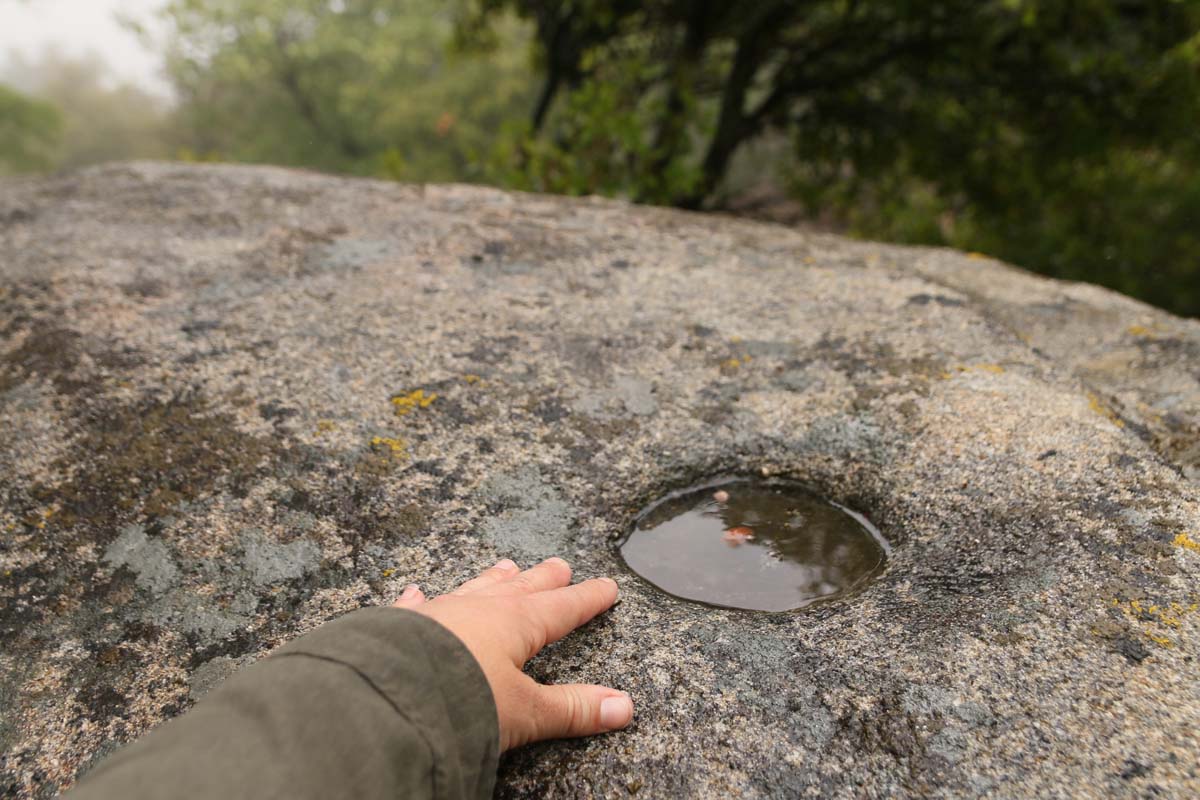
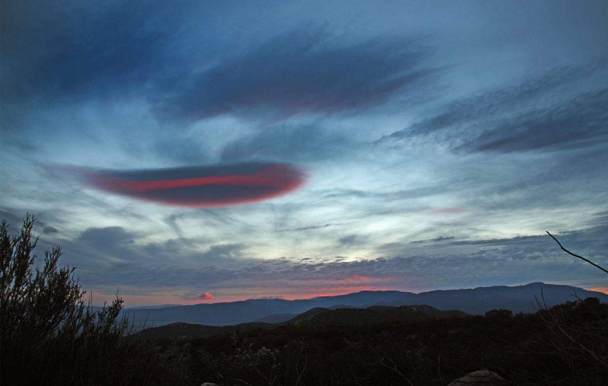
I couldn’t get enough of the foggy beauty. I was snapping away at every new corner we turned: 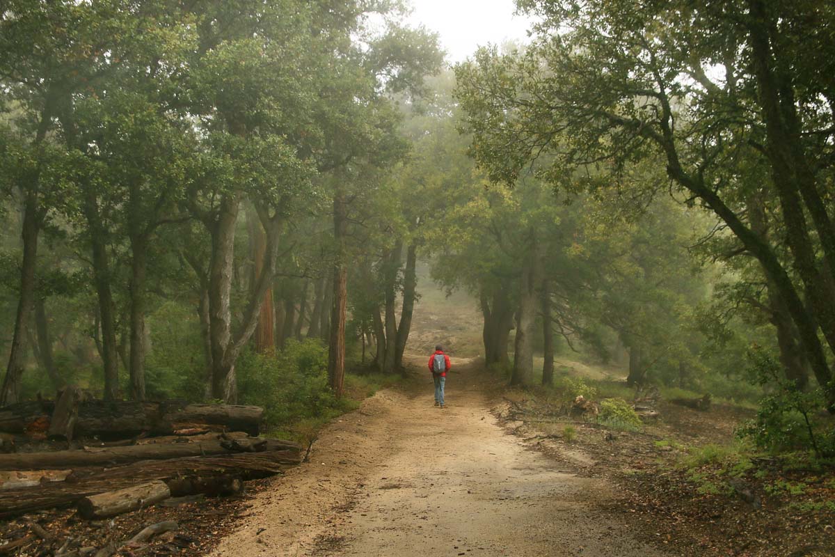
A little fort of sorts we walked by: 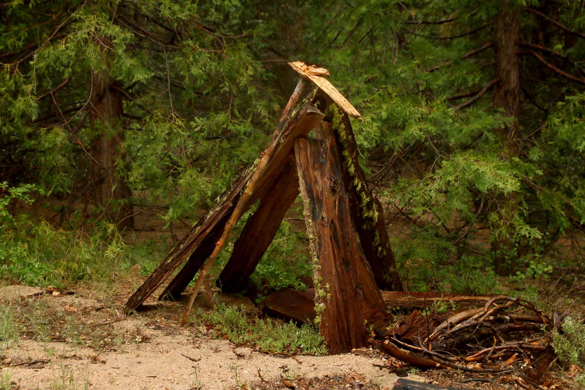
Pretty sure there was black tourmaline scattered everywhere: 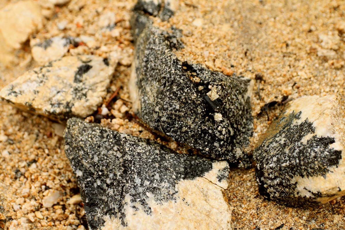

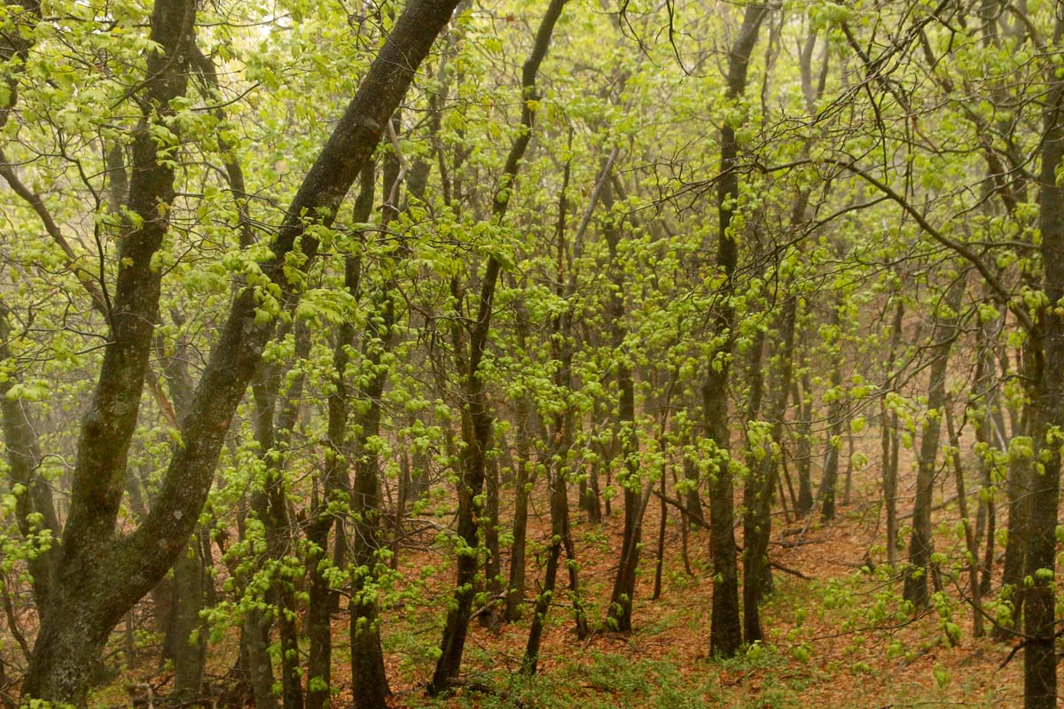
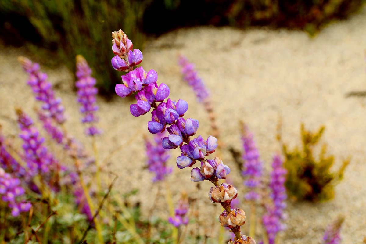
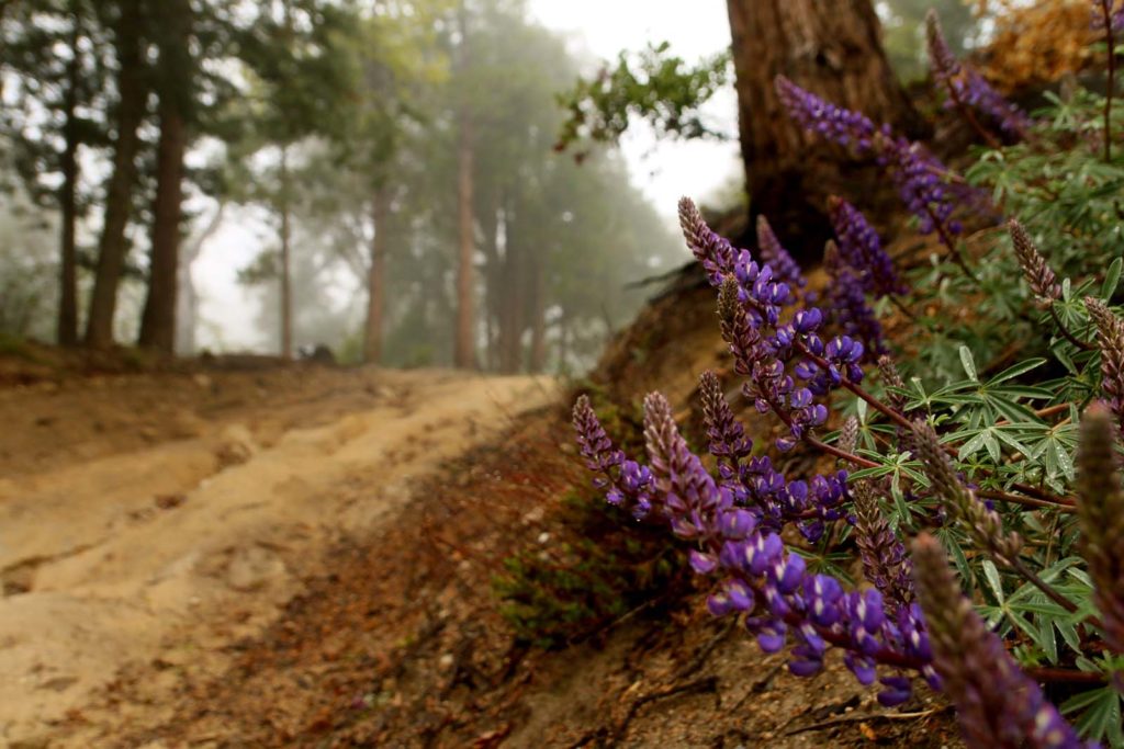
It was lovely seeing the manzanita blooming: 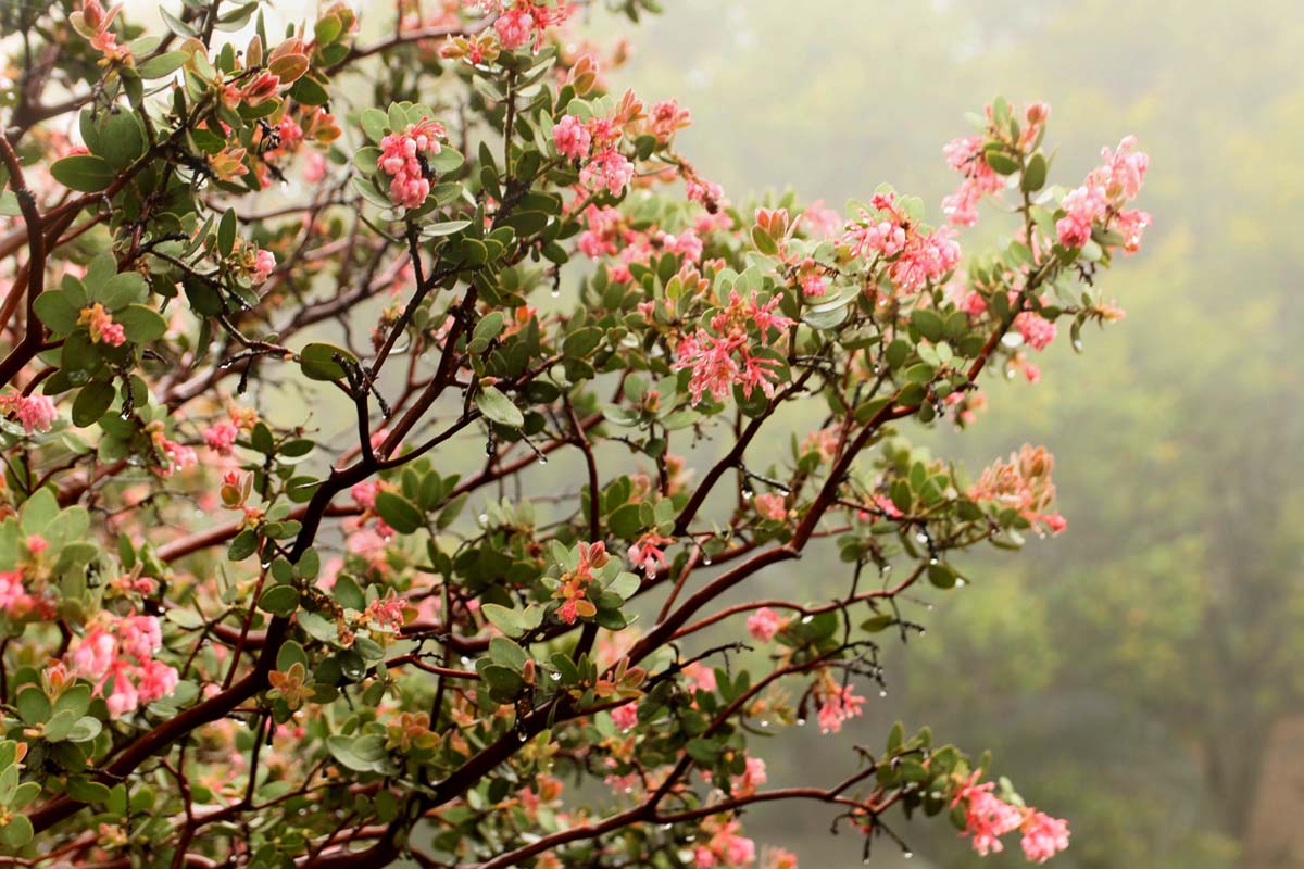
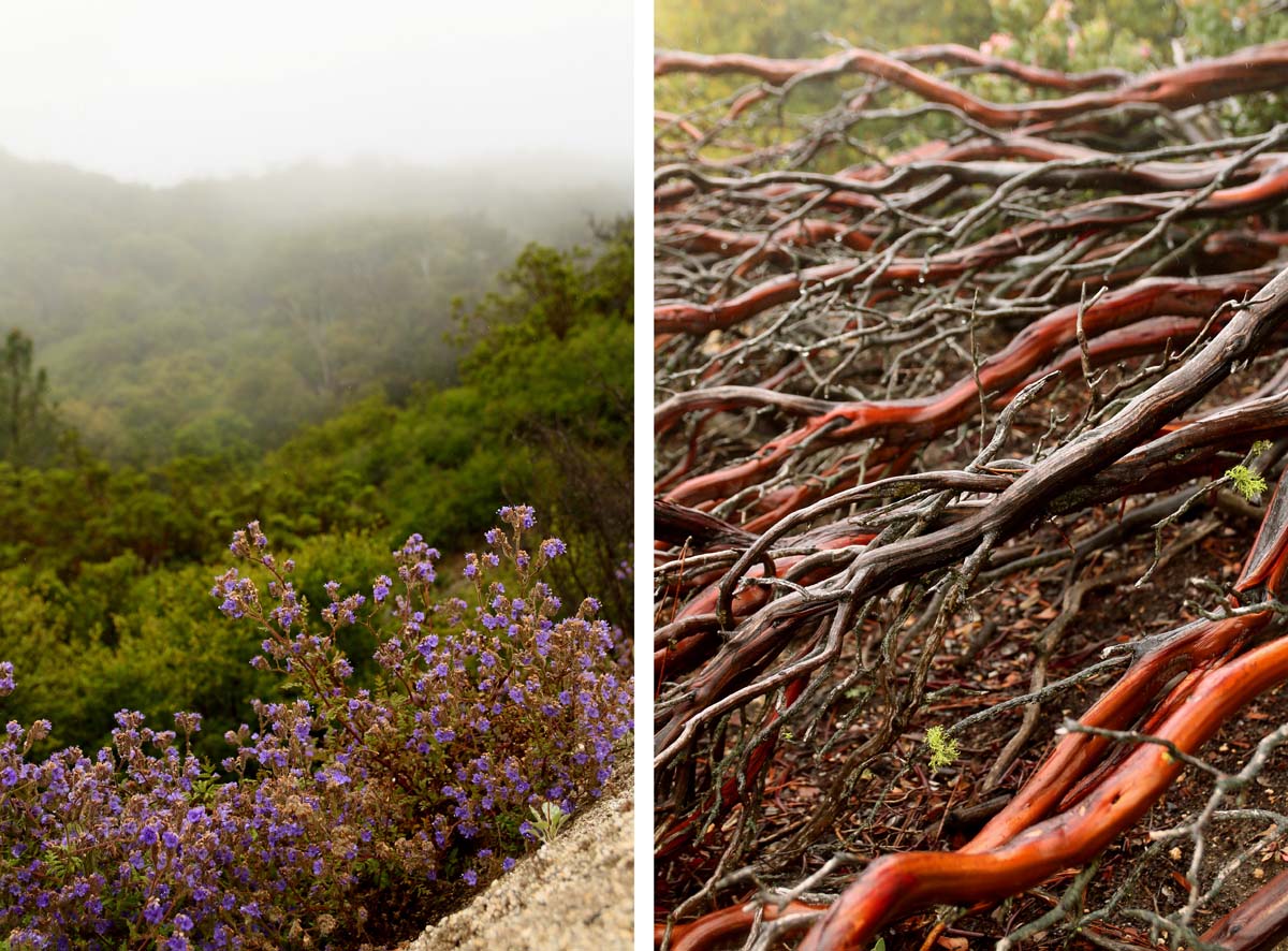
Eventually you will come upon a fork in the road. Let me tell you, I was so freezing that I wanted to see if there was an actual hot spring up here and dunk myself in it. Instead we opted to continue heading towards what we came up here for. To the lookout tower we went! 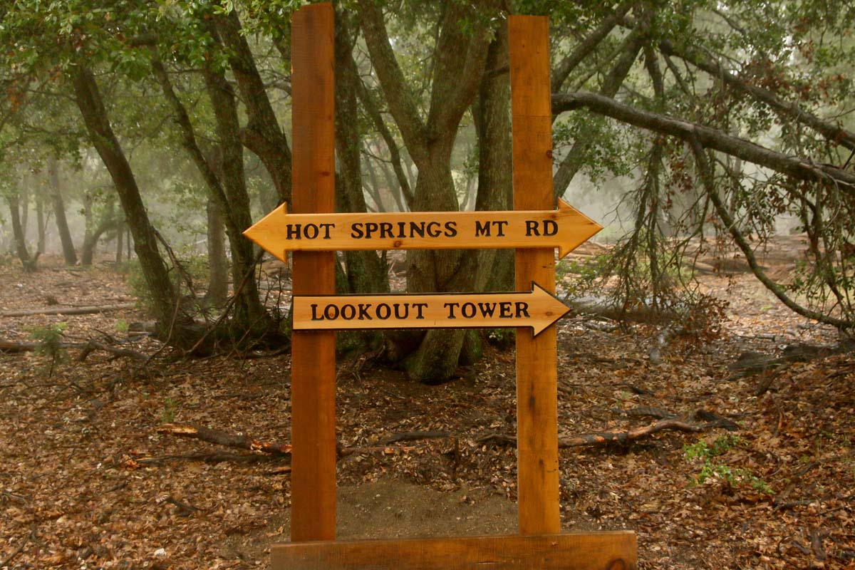
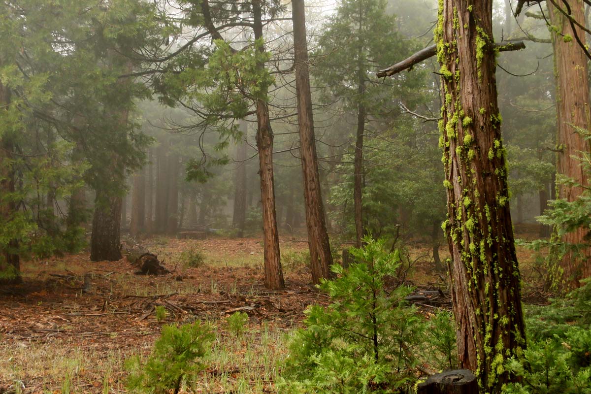
I was so close to giving up at this point and then we came upon this shelter. I didn’t even go up to the tower. I didn’t care at this point. My primary concern was thawing my feet out which I was unsuccessful at doing. At least this structure offered some protection from the elements: 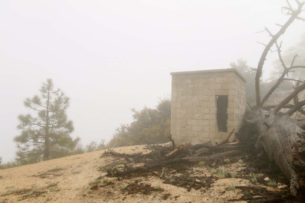
A shot of the tower in the distance: 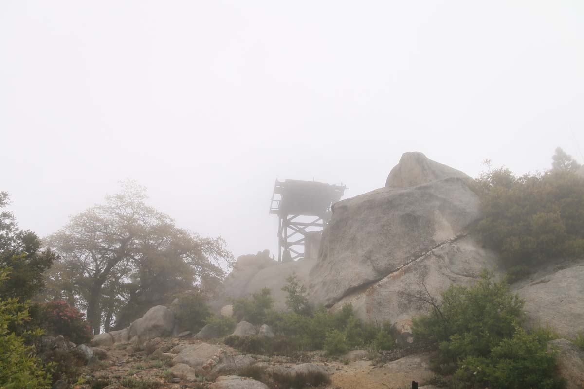
And my view while I waited inside the shelter fort for my friend to return: 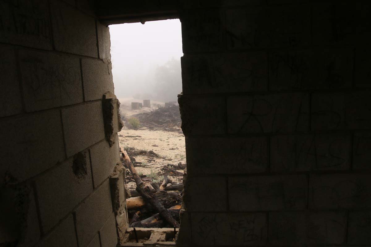





Anonymous
I sure hope your feet have thawed out! Hiker’s feet are so very valuable !!! Reminder to self…carry an extra pair of socks in that pack. This hike looks delightful…is it well marked and easy to follow? I need spots I can head to alone and not get lost LOL. Thank you for sharing.
July 1, 2019
Anonymous
We are members of a local Jeep club that are granted access to drive up there, it’s gorgeous. We actually helped restore camping area and restrooms. I never saw Hot Springs either.
November 15, 2019
Stacy
Great photos! Beautiful hike! I will put this on my list!
December 28, 2019