3 Reviews
Hello everyone! This is a friendly reminder that any of these fun places we may visit, we are a guest at. Please treat both businesses and trails with the utmost respect. We here at Hidden San Diego follow the 'Leave no Trace' mantra, meaning whatever you bring with you comes back with you. If you see trash on a trail, please do your part to help remove it. Remember, we are not picking up trash from another person but instead cleaning up for Mother Nature. Happy adventures!

SPOT 6 IS PART OF OUR MEMBERS SECTION
Dog Friendly: Yes, on leash Kid-Friendly: Yes
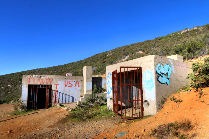
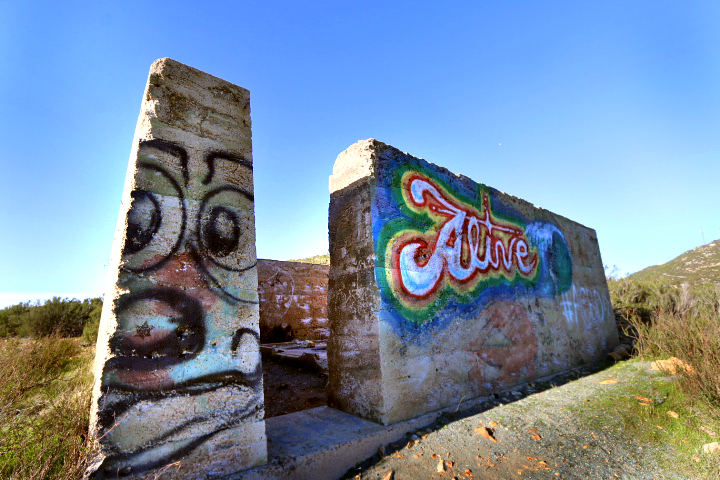
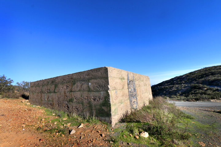
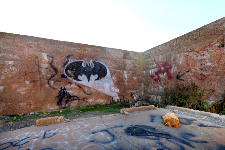
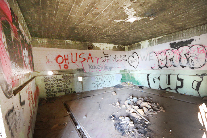
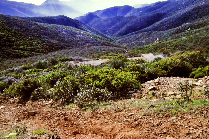
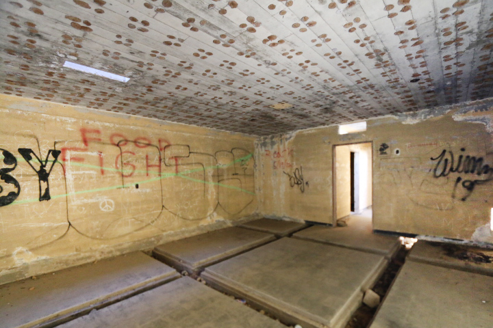
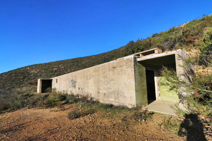
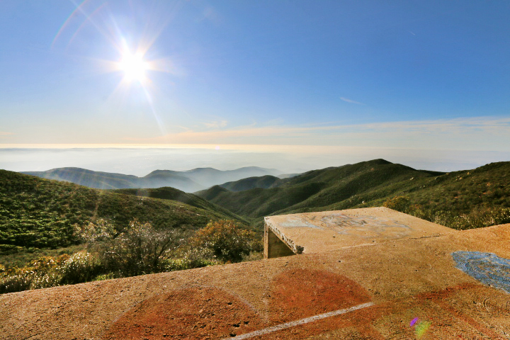
High up in the hills of San Diego County quietly sits a piece of eroding history dating back to WWII. The year was 1942, and paranoia had risen across the country about a possible Japanese invasion. To prepare, the army acquired 3570 acres of land and built a campsite and concrete bunkers, with coastal views to catch early attacks.
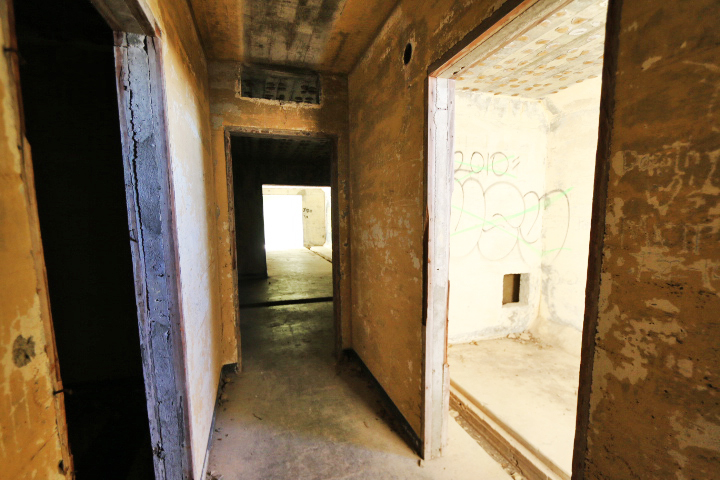
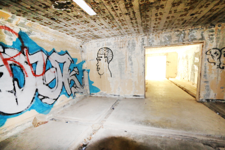
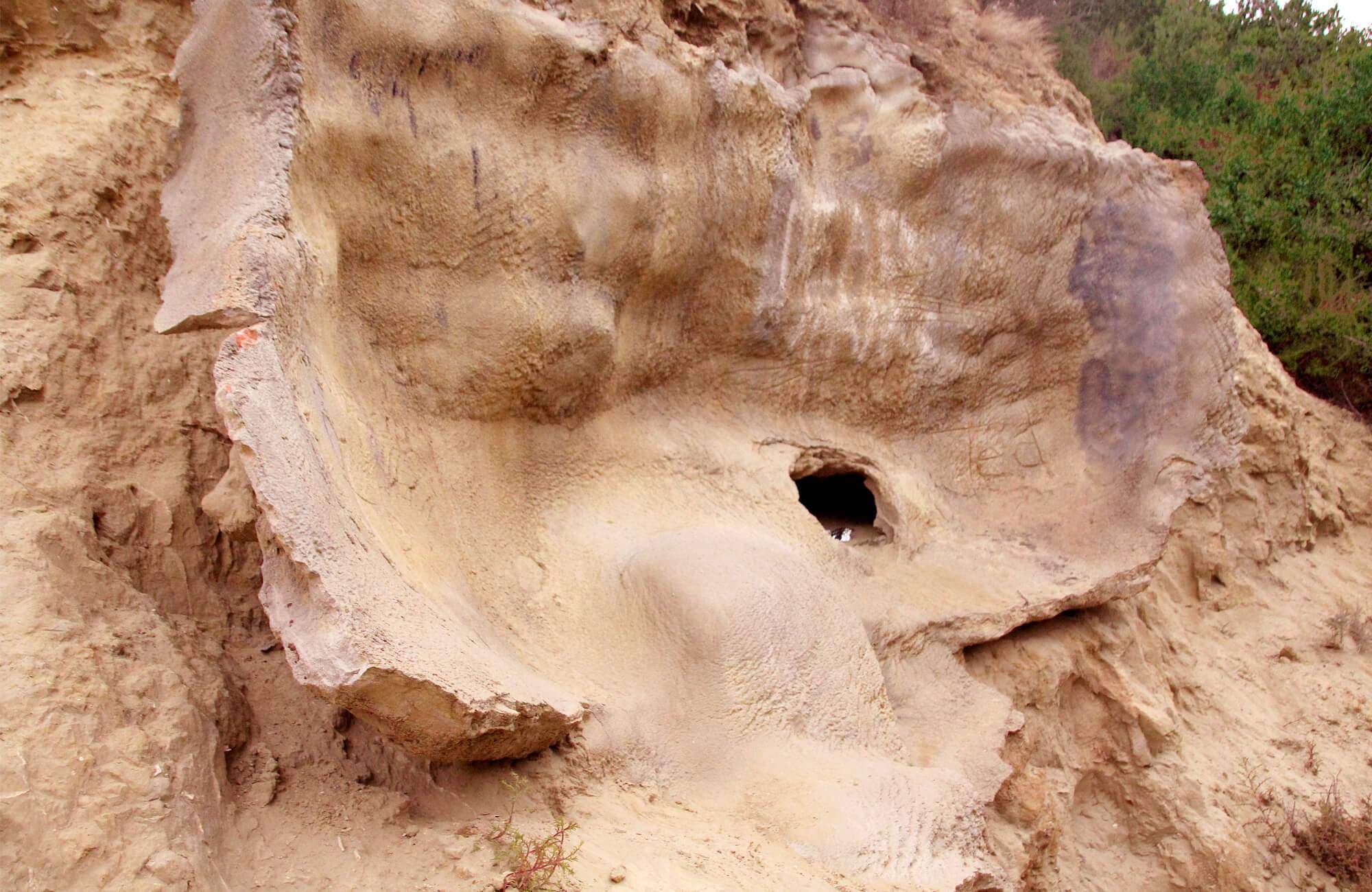
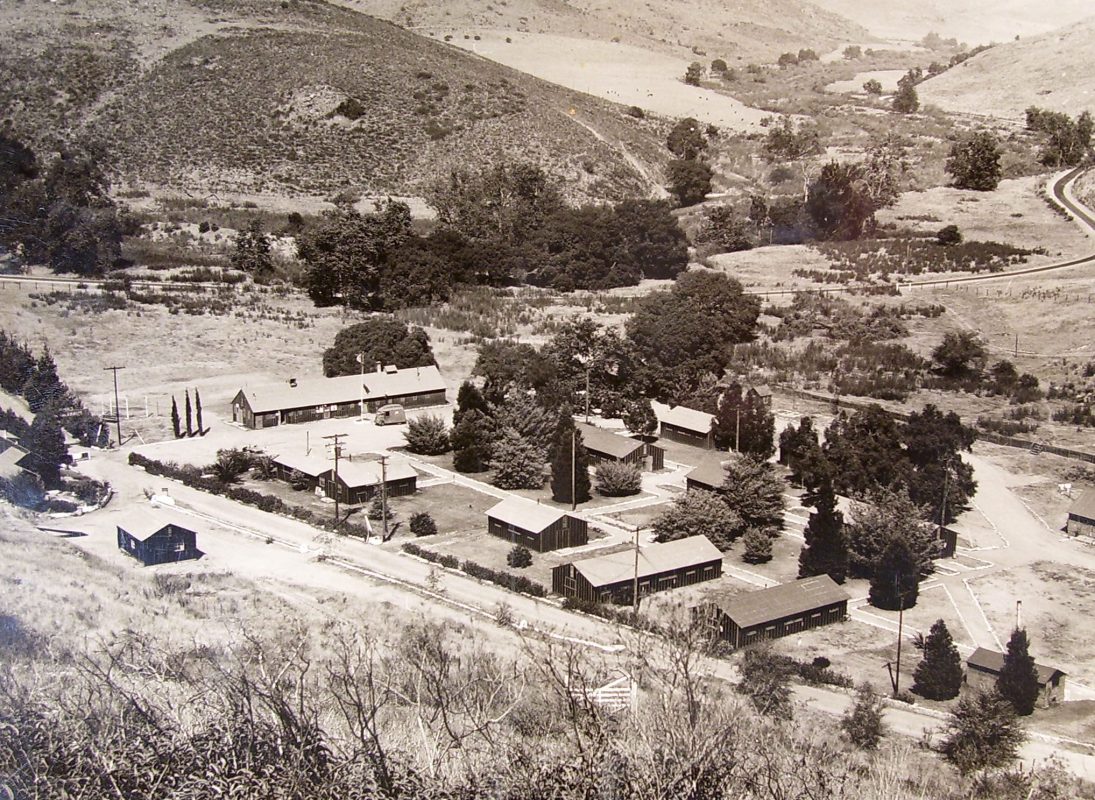 The bunkers were used to house radar units and the diesel generators that gave them power. The campsite housed the personnel that operated the site. By 1947 it was abandoned and returned to G.R. Daley where a private campsite was later built and still in use today. Most of the old radar site now contains communications equipment but the bunkers nearby sit completely abandoned.
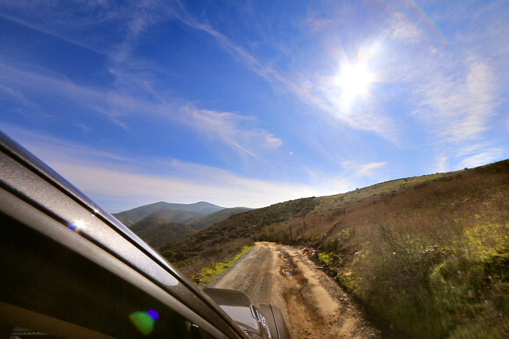
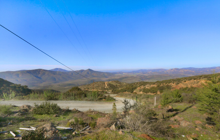
To get to this spot it is recommend to have 4-wheel drive. If you choose to hike or mountain bike, allow yourself a full day for this trip. Regular vehicles could easily get stuck so make sure you're in a high-clearance vehicle.
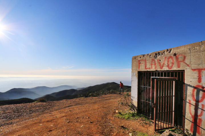
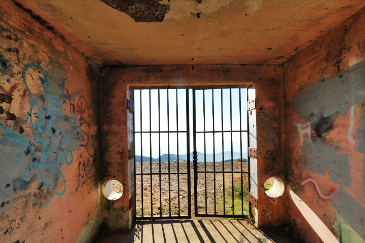
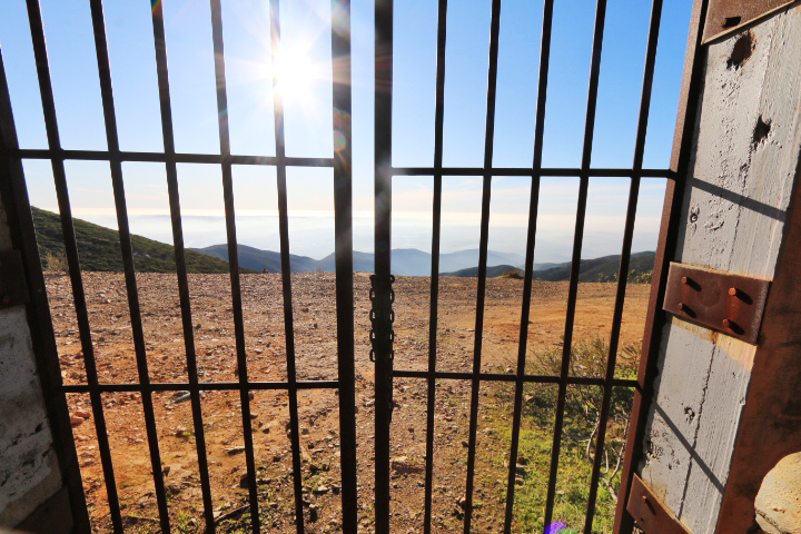
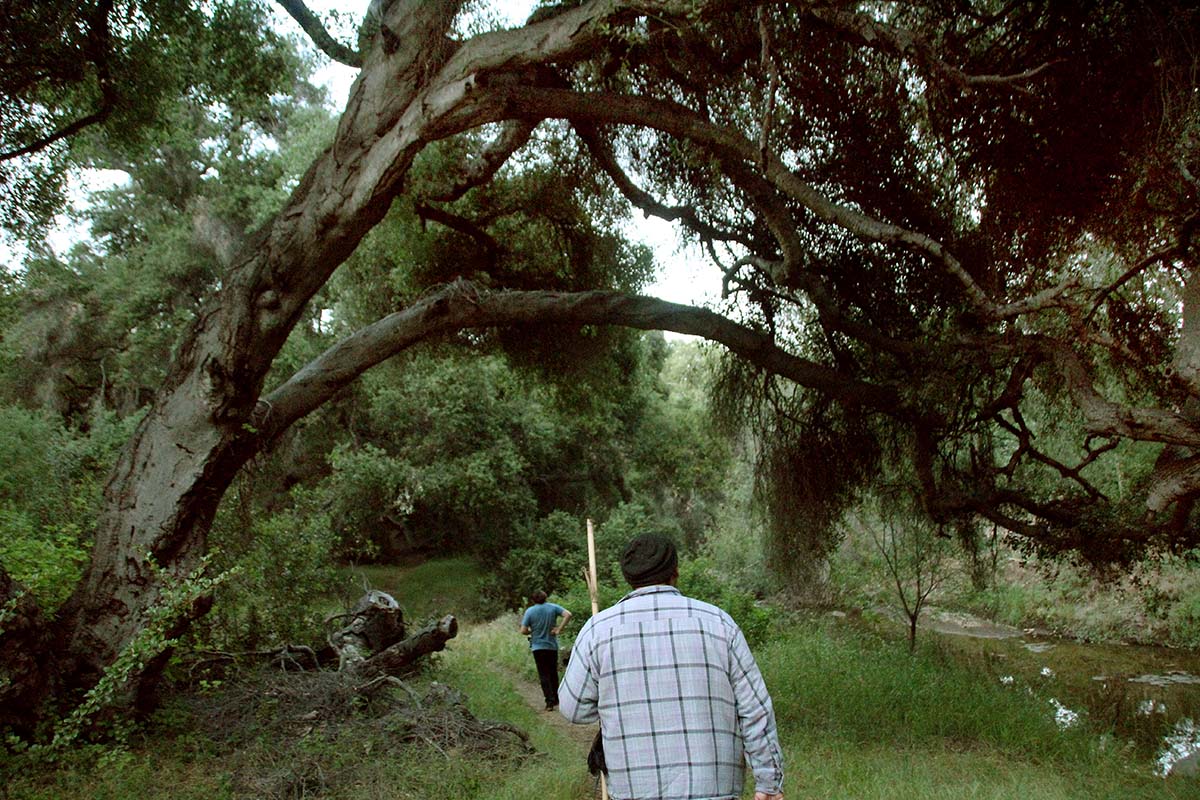
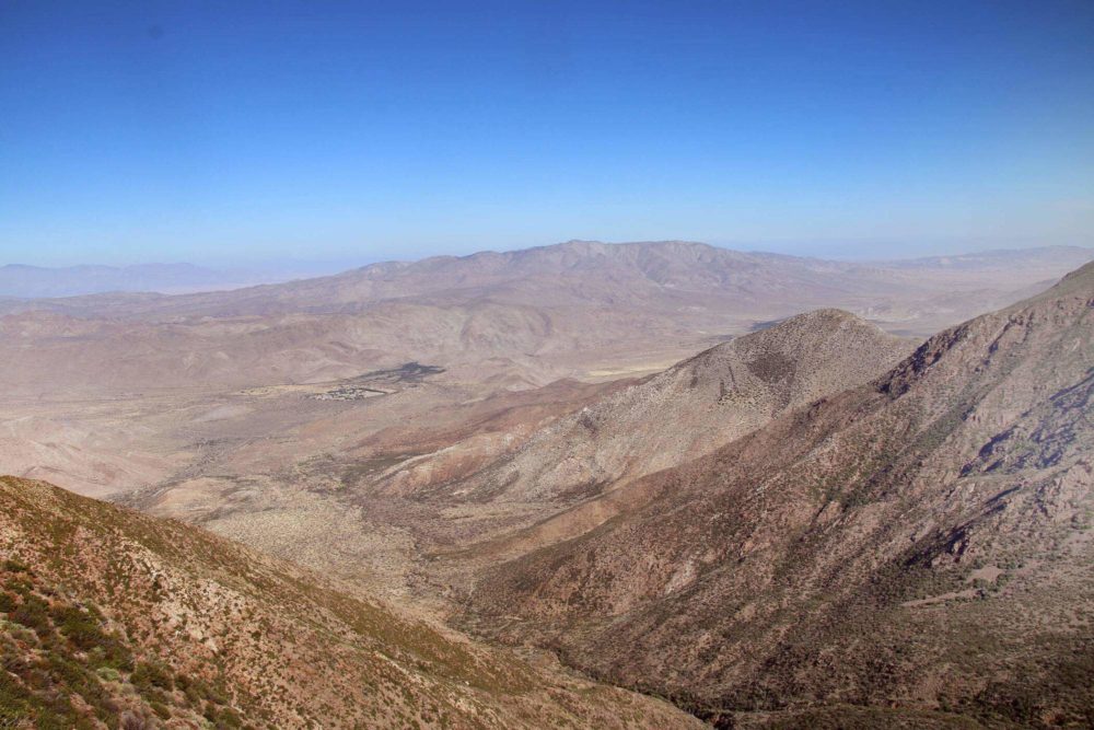
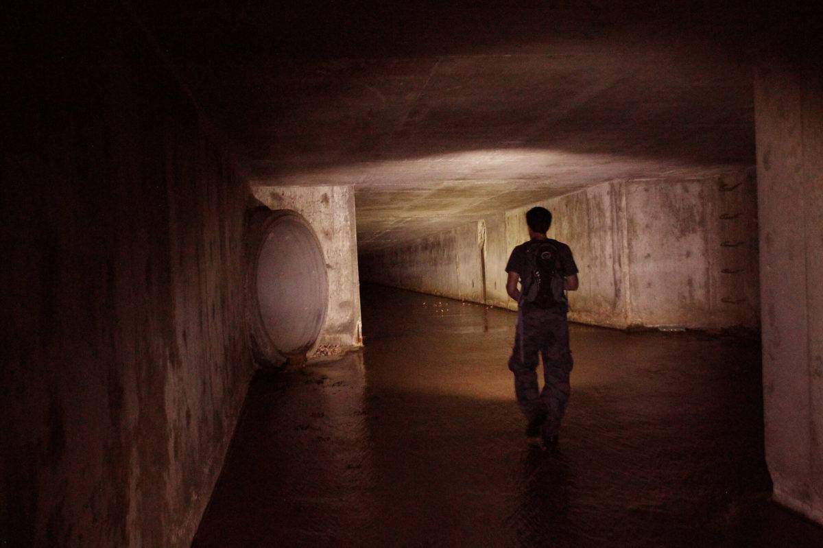
The views are stunning and the bunkers are curious. Some of them look like jail cells to me. Could it be possible there was an anticipation of capturing enemies and imprisoning them inside the cells?
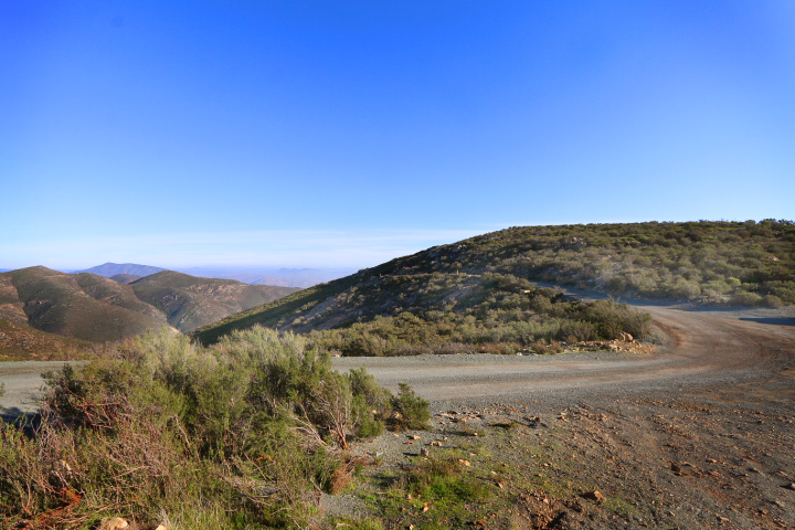
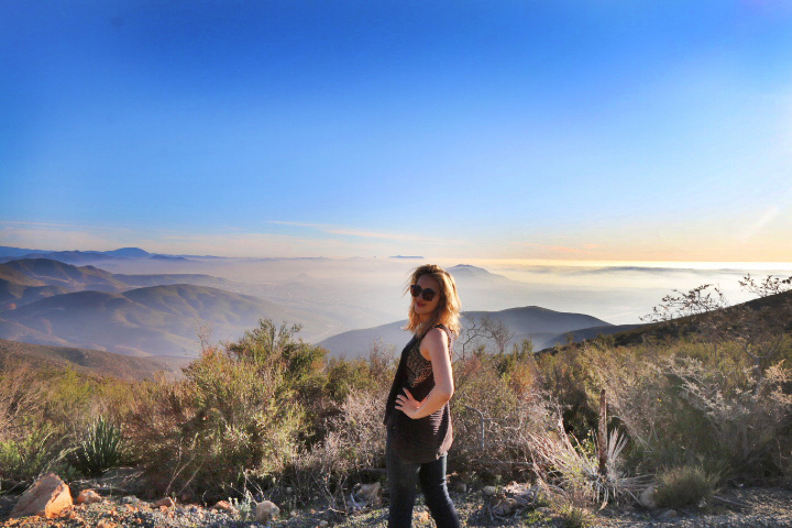
The views are some of the best around and the entire climb is enjoyable. There are two ways to get to the site, one road that is extremely narrow, steep and dangerous and the other which is far safer. We will be giving directions to the safer side for members.









Anonymous
Amazing photos! Is this hike on AllTrails? Or how does one find this?
April 28, 2020
Anonymous
How hard was it to get to the large lower building? It looked a little difficult to me.
May 29, 2020
Anonymous
“There are two ways to get to the site, one roat that is extremely narrow, steep and dangerous and the other which is far safer. We will be giving directions to the safer side for members.” – Wow. What a dick thing to say haha
June 3, 2020