1 Review
Hello everyone! This is a friendly reminder that any of these fun places we may visit, we are a guest at. Please treat both businesses and trails with the utmost respect. We here at Hidden San Diego follow the 'Leave no Trace' mantra, meaning whatever you bring with you comes back with you. If you see trash on a trail, please do your part to help remove it. Remember, we are not picking up trash from another person but instead cleaning up for Mother Nature. Happy adventures!

MINE 2 is part of
our Memberssection
**No-Trespassing Zone**
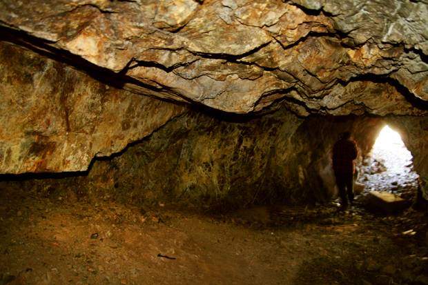
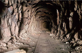
Personal Experience: The first time I read that there were old mine shafts hidden in suburbs of San Diego, I could hardly believe it. I had grown up in that area, but the most interesting adventures I had known about were of two mediocre waterfalls: one in Rancho Bernardo and one in Rancho Penasquitos. An exploratory mine though? Sign me up!
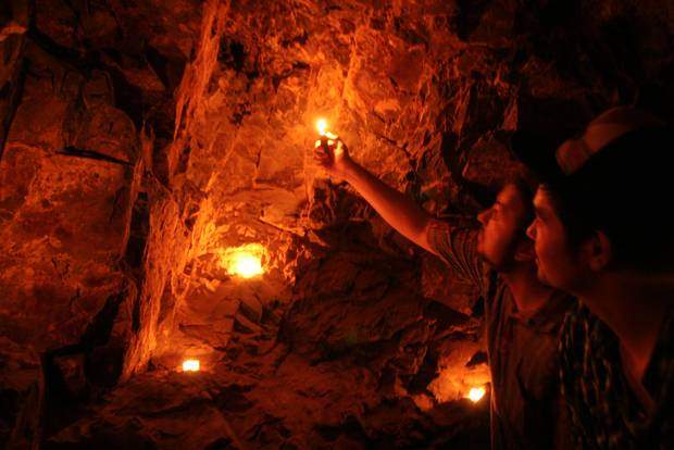 After scouring the internet for as much information as I could find, I learned that the rumors were true. Back in the 1920’s, a lively mining district was created to excavate arsenic. Arsenic used to be a valuable chemical element that was used to eradicate boll weevils that were infesting Southern cotton crops.
Escondido rodeo cowboy and actor, Frank Hopkins, was able to get the funding back-up to set up his camp in Rancho Penasquitos and so it began. Within several years of cold winters and dry summers though, the South was able to eliminate the boll weevils, thus lowering the demand for white arsenic. By 1927, the mine had been abandoned, though the remnants and mine shafts still remain. Here is where we enter.
Thanks to technology, I was able to located the mine’s flume through Google Maps and used that as a GPS guide through my phone to easily track the necessary path to our destination. The tracking device helped to ensure us that we were going the correct way and I highly recommend using one if you decide to go.
There is the slightest evidence of a path which is just enough to let you know that you’re going the right way. This is a rugged, off-the-traditional trail hike and therefore it is extremely important that you come prepared. Cover up as there are ticks! I know this because when I got home one was burrowing itself inside my leg. Bring a backpack with regular safety gear and let someone know where you are going. I cannot stress enough the importance of thorough research before you go on these types of adventures as well as coming prepared for the variety of situations that could occur.
Personally, these types of hikes are my favorite because they are off the beaten path. It’s fun knowing not too many people have done this adventure and yet the slightly trampled ground tells you it has been explored before and to keep walking. We went the long way and later learned that there was a much quicker way to get to the flume. This is not a kid-friendly hike and these are old ruins that could potentially be very dangerous.
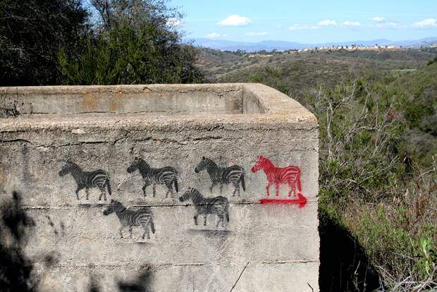
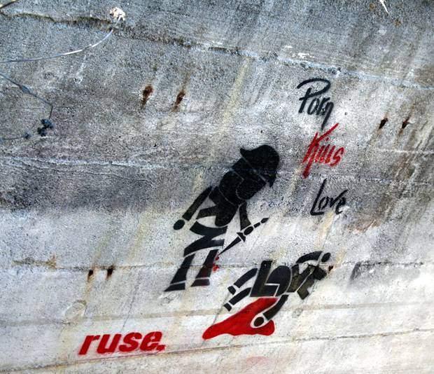
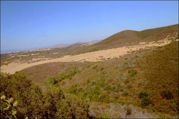
This is the bottom of the flume. If you take the path we took you will end up here first. If you take the correct path you will end up on the top.
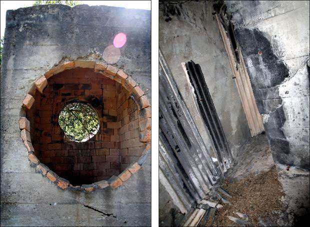
And the top of the flume:
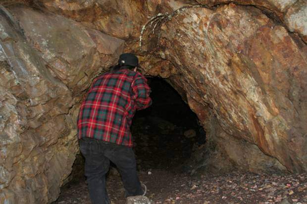
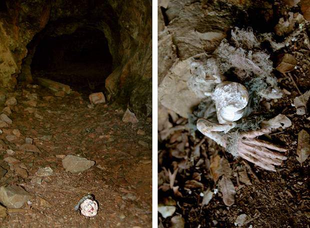
The first thing we came across when we found the mine was this creepy, decapitated witchy doll. Nice touch!

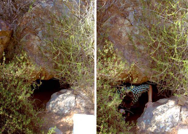
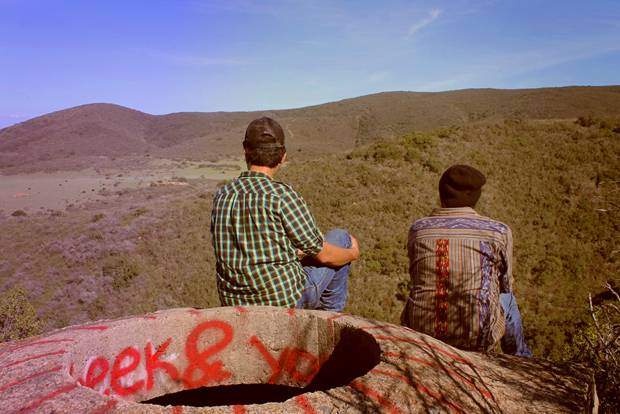
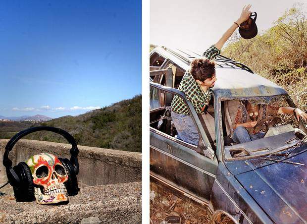
We shot an album cover here:
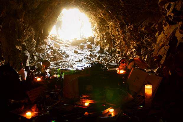
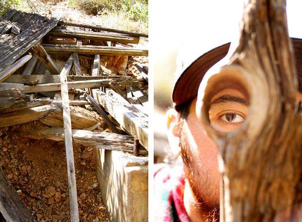
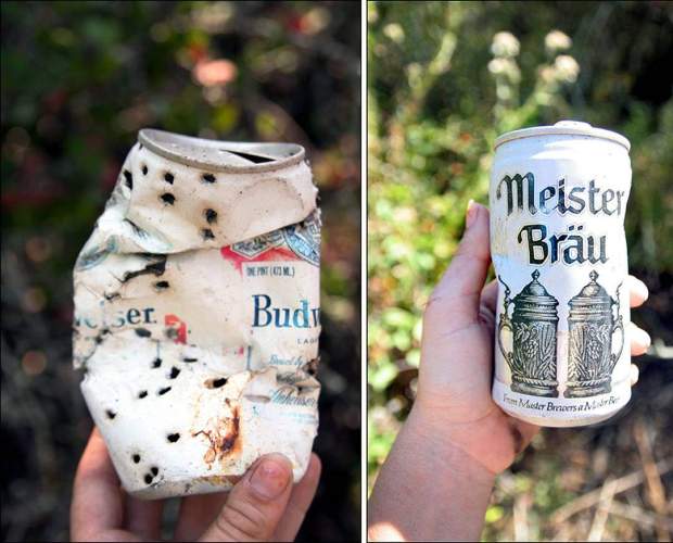
Some old beer cans we came across. Wonder how old they are?








mjd
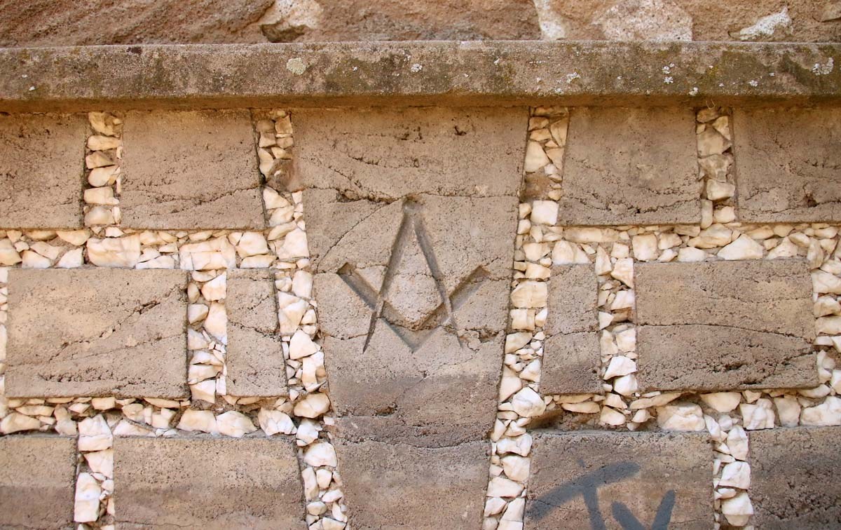
coud this be something to do with the mine
32°59’08.1″N 117°06’24.0″W
January 21, 2018