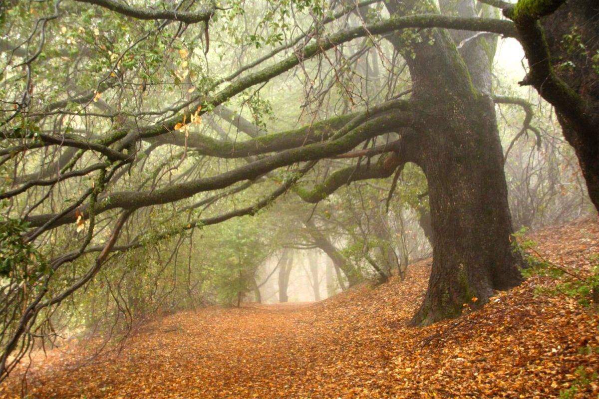
40 Kid-Friendly Hikes in San Diego
San Diego is filled with challenging and beautiful hikes for all levels, ages, shapes and sizes. This page is specifically for kids though, as not all hikes would qualify as being kid-friendly. Now I know that even hikes for kids varies with age and the individual child's abilities. That will be up to each parent to look through the hikes listed and decide what is best for their child.
What I feel makes a great hike for children is one that has some type of "reward" whether it be a beautiful look-out point, is educational and/or historical or has some sort of magical element that stimulates their imagination. These hikes have at least some of those elements. With that said, here is our list of Kid-Friendly Hikes in San Diego!
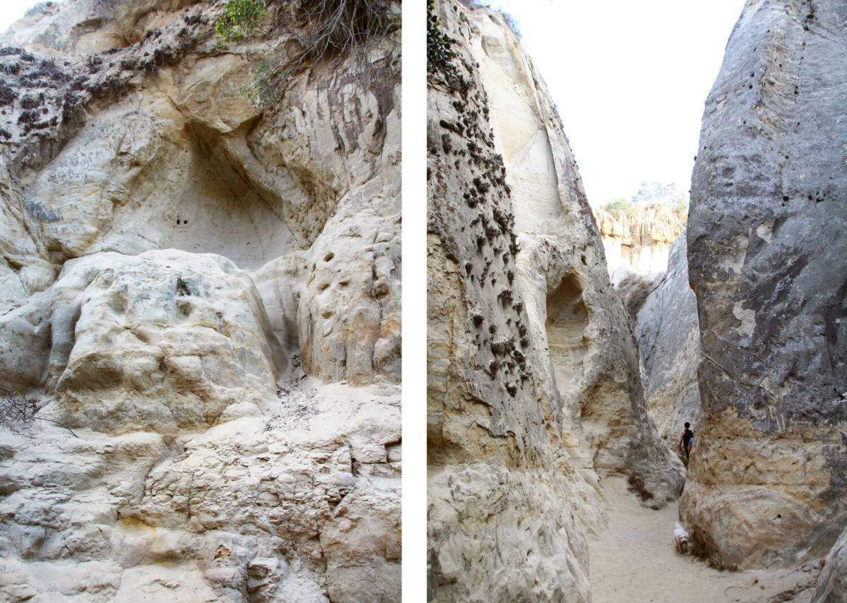
1. Annie's Canyon
Annie’s Canyon Trail is a must-visit spot for the true adventurers. There are secret caves and footsteps carved out of the delicate sandstone everywhere. Since opening this area to the public, most of the more dangerous parts have been closed off.
Hike: 1.6 miles Level: Moderately easy
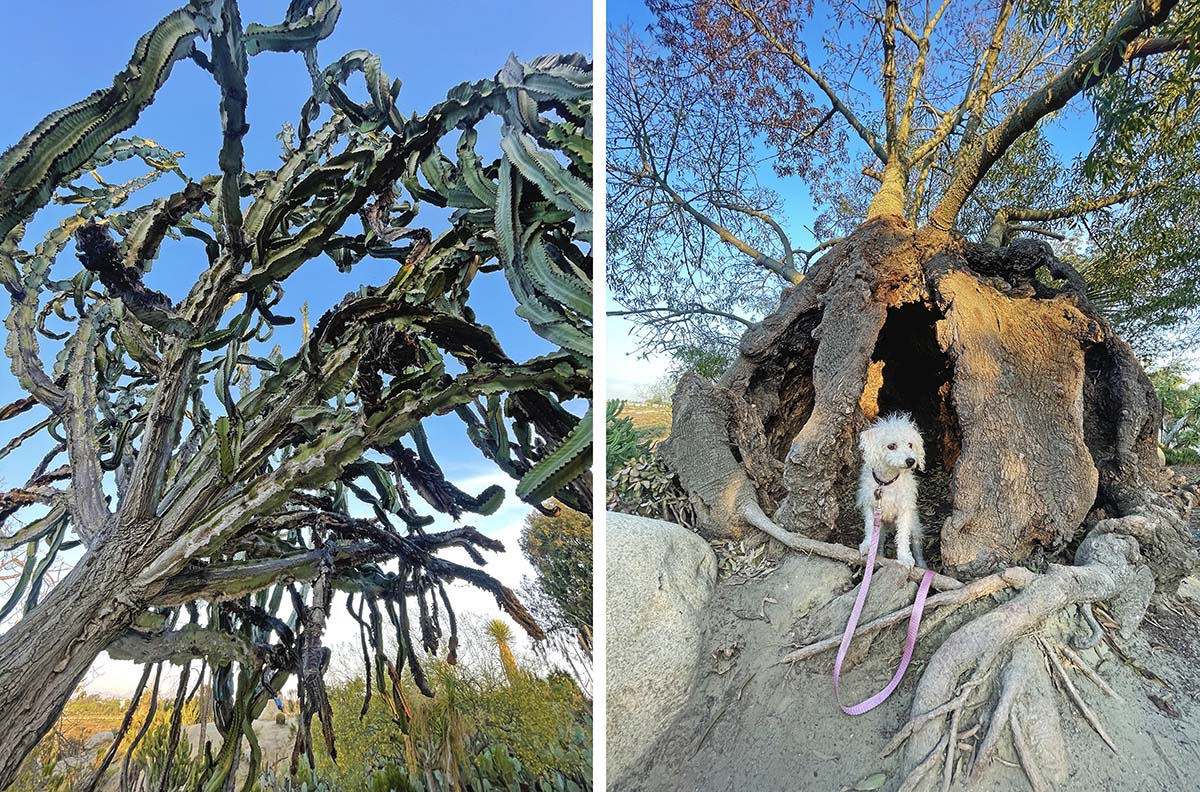
2. Balboa's Desert Garden
This is a short, dirt trail that takes you out and back through many unique and quirky-looking native plants. Careful of taking kids too young as many of the plants are spiky. Still very fun spot to walk around and right across the street from the Reuben H. Fleet Science Center!
Hike: 1/4 mile out and back Level: Easy
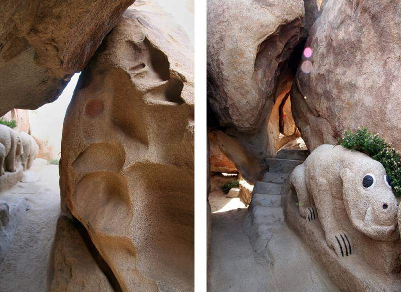
3. Boulder Park
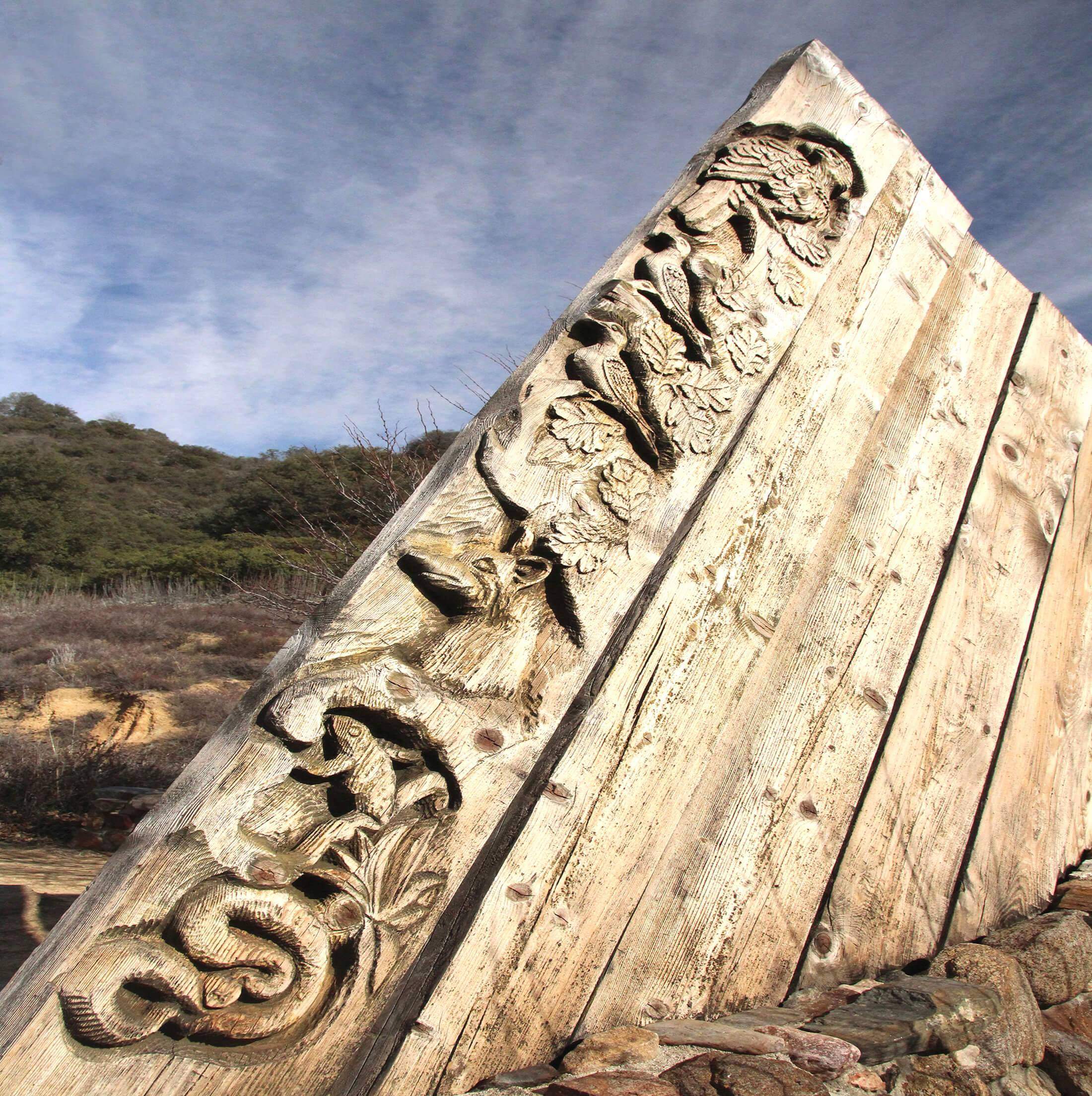
Boulder Park is an imaginative and adventurous desert adventure, located out in Jacumba. Random faces and animals are waiting to greet you at every turn. Boulder Park has been a fixture in the desert since the early 1930s. This is a winter adventure as it gets hot out here!
Hike: 1 mile of grounds to explore Level: Easy
4. Buena Vista Park
This is a lovely area and you can make it as long or short as you like. There's a pond with ducks right at the parking lot and within a quarter mile you are met with a ton of shaded oak trees which is always fun for exploring.
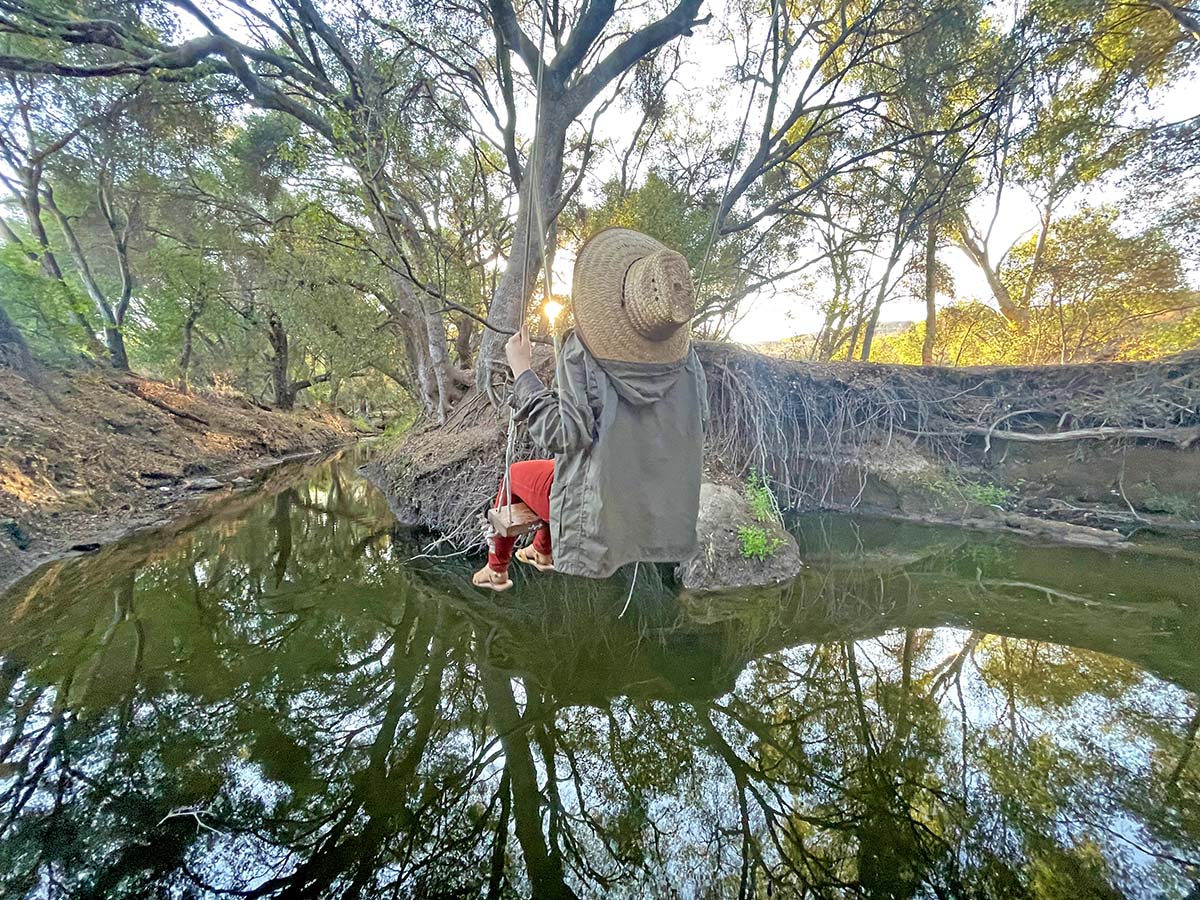
The deeper you go, the more fun things you'll find like this rope swing hanging over the creek. Because it's shaded most of the hike, this is a good year-round adventure!
Hike: There are many trails, so it's up to you how far you go Level: Easy-moderate
5. Cabrillo National Monument
Cabrillo National Monument commemorates the landing of Juan Rodríguez Cabrillo at San Diego Bay on September 28, 1542. The site was designated as California Historical Landmark #56 in 1932. This exact area actually marks the first time Europeans would set foot on the west coast, which also began colonization of the west. We have written more in depth on this topic in our page on Presidio Park.
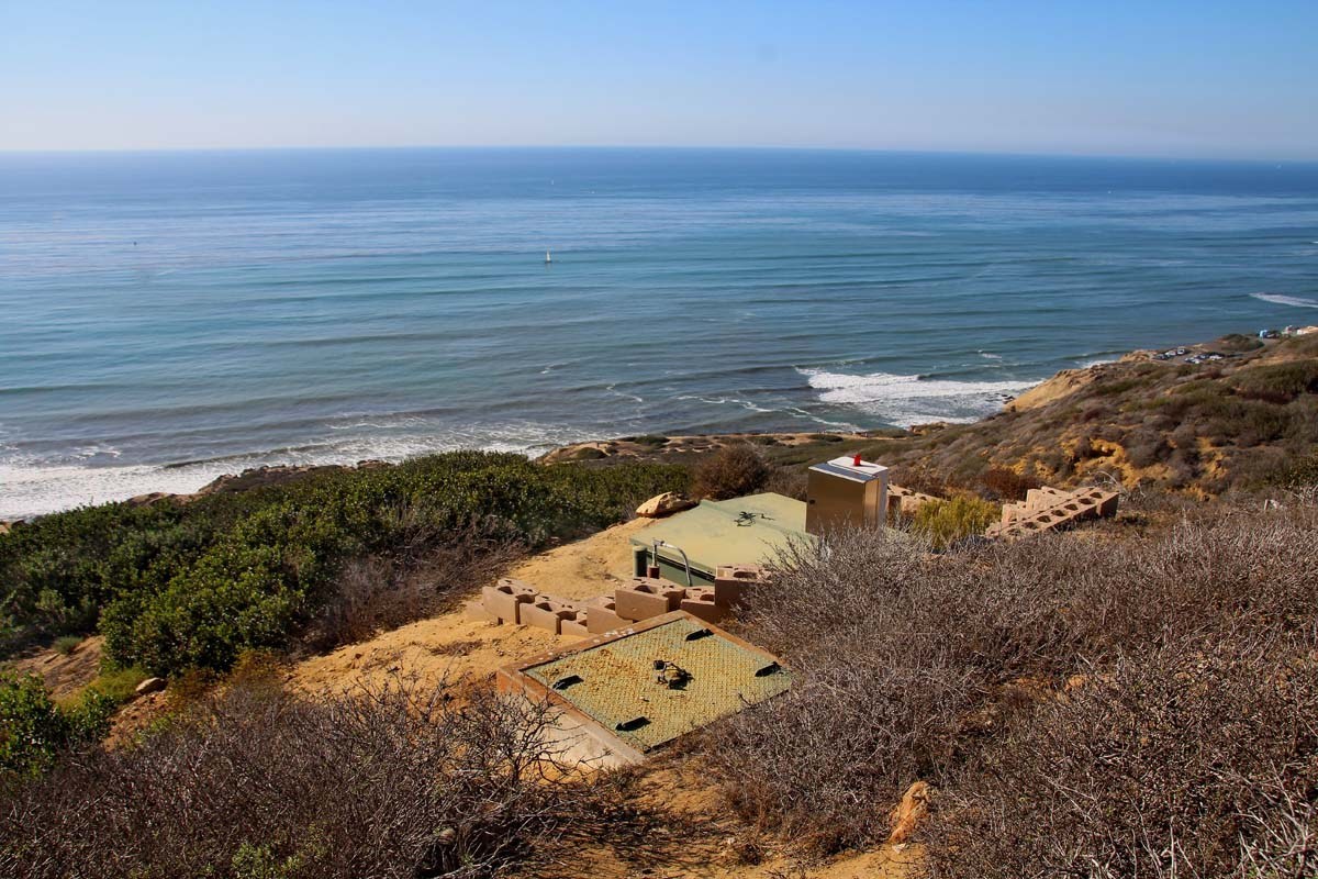
The park offers gorgeous views and on a clear day, can be seen all the way to Tijuana. The main points of interest are the visitor’s center/museum, the tidepools below, the Old Point Loma Lighthouse and the bunkers which are scattered around the park. There are many great trails so wear your hiking shoes!
Hike: there are many trails of various levels here Level: Easy to moderate
6. Lake Calavera
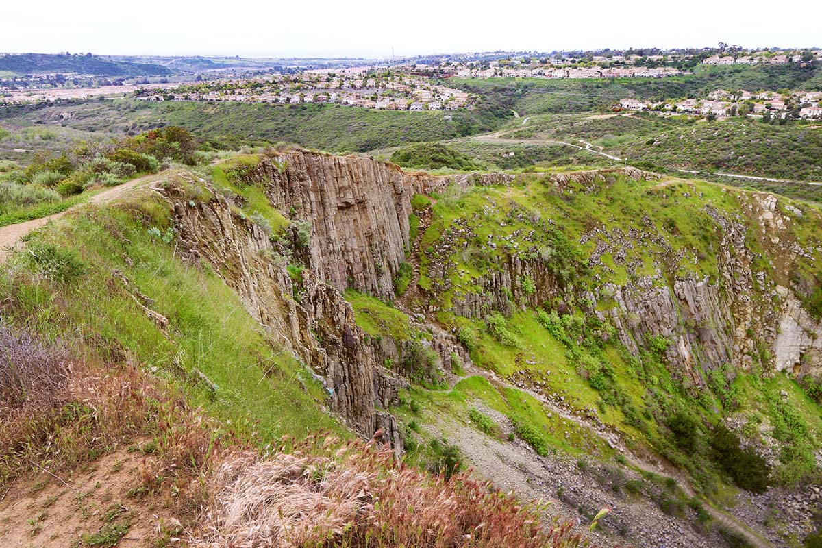
I bet this may come as a surprise to many, but San Diego has it’s own volcano that was active 15 million years ago! But that is not all. The Calavera Lake area also boasts a lake and dam dating back to the World War II era, multiple stone labyrinths and even a cave! This is a great place to explore and see what you can find with your kids. Keep in mind that there are many trails which means many different adventures of varying levels!
Hike: there are many trails of various levels here Level: Easy to moderate
7. Crestridge Ecological Reserve
Crestridge Ecological Reserve contains 2600 acres of riding trails, unique architecture by the famed James Hubbell, ancient history dating back thousands of years and many fun, tiny details scattered throughout. Keep your eyes peeled!
This Crestridge Ecological Reserve was once a Kumeyaay village, containing three prehistoric archaeological sites.
Hike: There are many different trails you can take Level: Each trail varies in level of difficulty

8. Cuyamaca Peak
Cuyamaca Peak is the second highest peak in San Diego County (and only 20 feet lower than the highest peak, Hot Springs Mountain at the Los Coyotes Indian Reservation) at 6,512 ft. elevation.
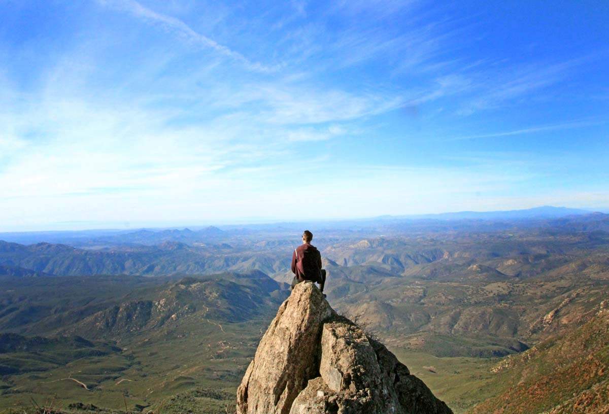
With a moderate climb up hill, be ready to be greeted with stunning views at the top! On a clear day you can see Mexico, the Coronado Islands, mountains in Arizona as well as views all the way to the San Bernardino Mountains!
As this is quite a climb, it is most suitable for older kids who already have experience with hiking.
Hike: 6 miles out and back Level: Moderately Difficult
8. Daley Ranch
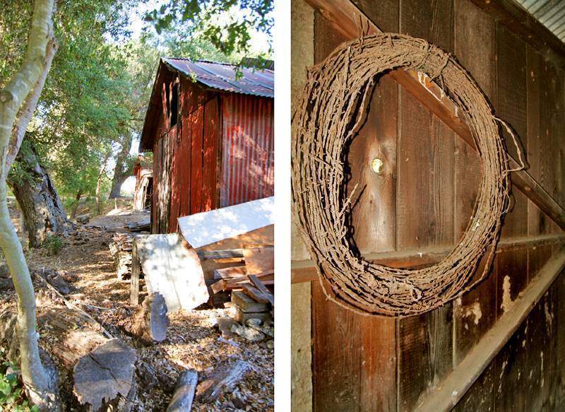
Daley Ranch is a 1 mile hike to an historic compound with multiple abandoned homes. I am usually not big on these types of hikes at all unless there is a very specific destination that I’m heading to. In this case, it was the Daley historical ranch houses. Don’t go in the summer, instead opt for autumn thru early spring. It gets HOT out there otherwise!
Hike: 1 mile to the homes Level: Moderately easy so long as you go in mild weather.
9. Spot 19
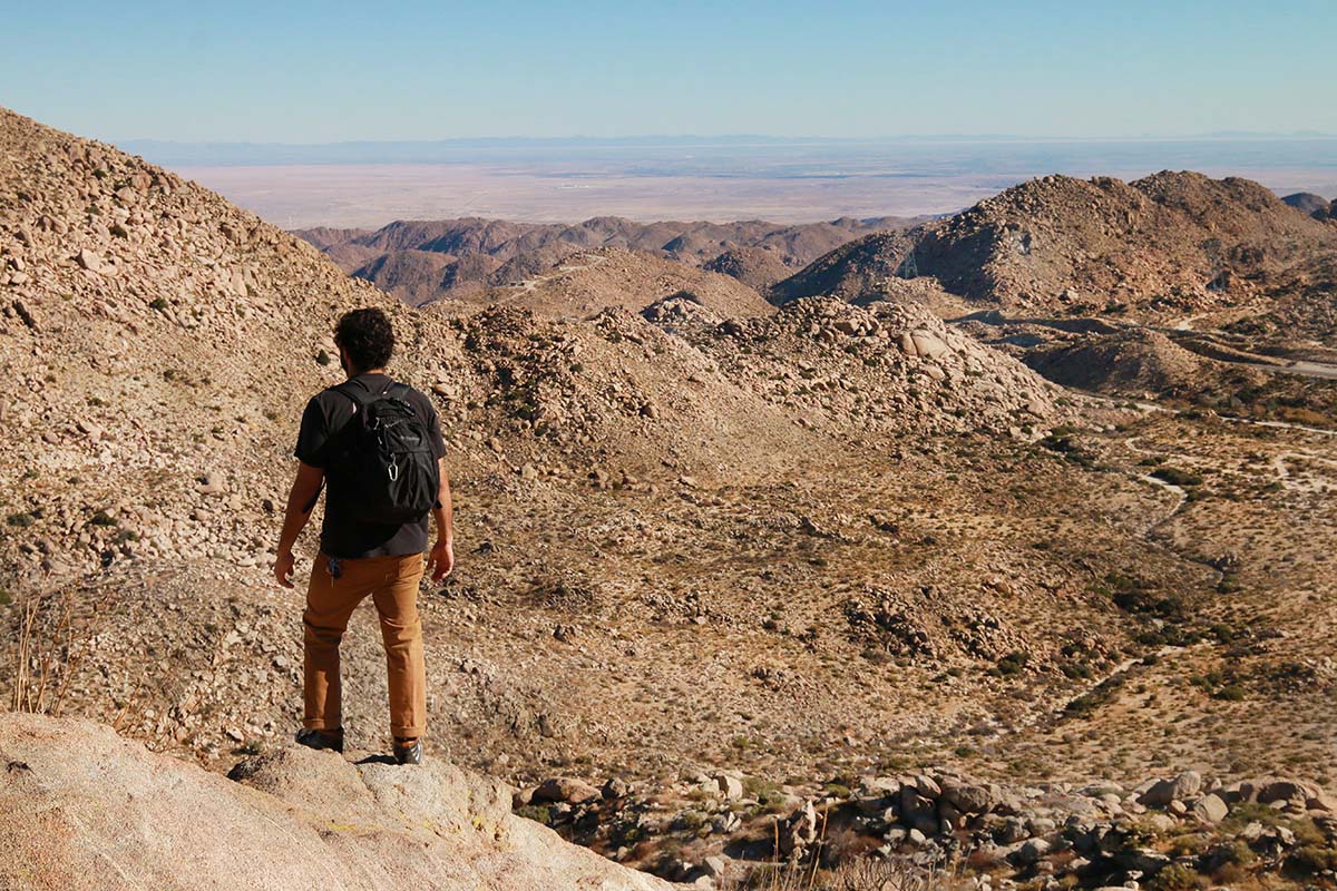
Somewhere in San Diego's desert region lays a fun hike that will twist you into the hills and lead you to a shrine dedicated to one of the area's beloved artists.
For those of us that never got the opportunity to meet him, we can feel a tiny bit of his presence in this hike that leads you to his memorial. The memorial was created by his best friend, another colorful character in the area, Dennis Ruth.
Due to the fact that this shrine could easily be destroyed by the wrong hands, we will be placing it behind our members section. This is a winter/cool weather hike and suitable for older kids.
Hike: 5 miles out and back Level: Moderate
10. Del Mar Mesa Duck Pond
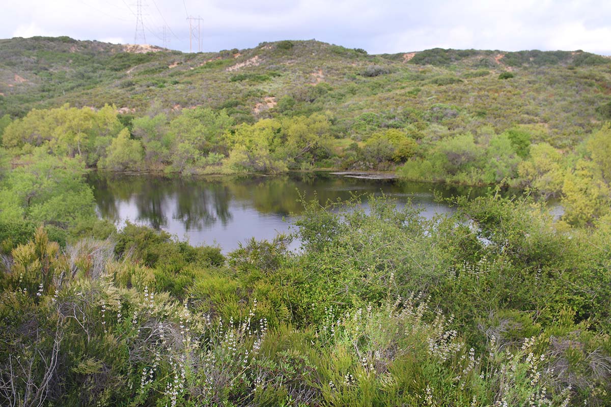
The Del Mar Mesa Preserve today is 900 acres and is protected under the city’s Multiple Species Habitat Plan. There are dozens of endangered and threatened plant and animals species out here. Parts of the Preserve are under State and Federal jurisdiction. The preserve was created through negotiations between government, community, environmental representatives, and land owners who dedicated up to 75% of their land in exchange for higher housing densities.
Hike: .8 miles 1 way Level: Moderately easy
11. Del Mar River Path Phase II
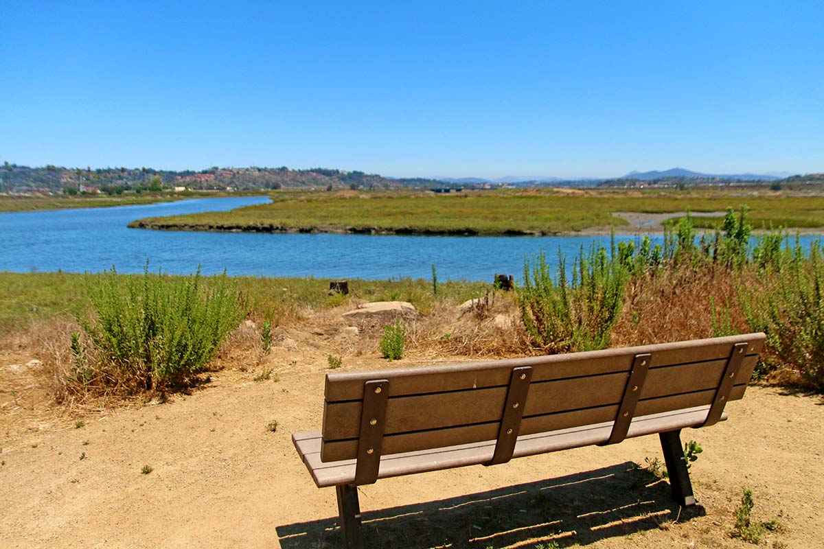
The River path has trails that go in both directions of the parking lot, each being about a quarter mile hike. The trail heading east will lead you to a beautiful lookout of the San Dieguito lagoon. The trail heading east will lead you to a small watering hole with a bridge that connects to Del Mar Dog Beach.
Hike: 1/4 mile in either direction Level: Easy
12. Cave 9
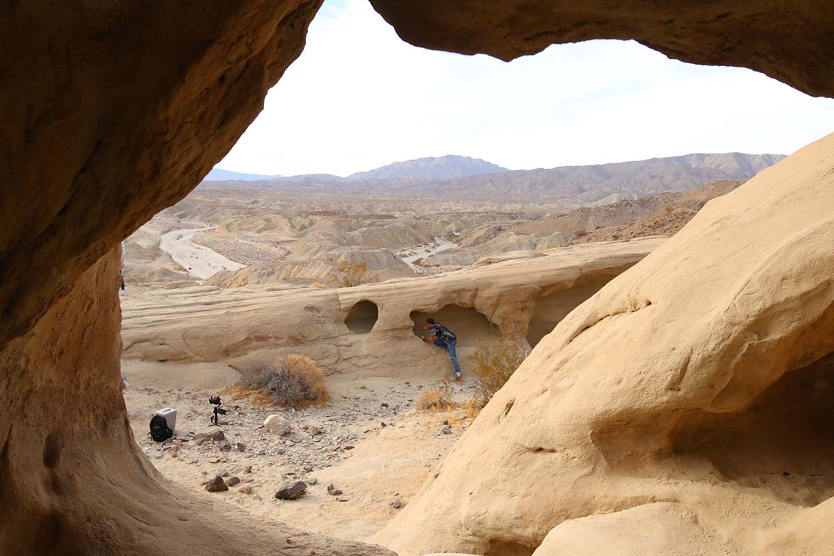
Deep in the desert lays this truly phenomenal work of Mother Nature’s art. Wind caves which were formed over the course of millions of years. This should hopefully be a very moving place for you when you visit. There is such a stillness all around you with stunning views as far as the eye can see. Mix this with the winds that helped form this place and you have a wonderful location for meditating and reflection.
It’s quite an adventure just getting out here! You will need an off-roading vehicle in order to make it to the trailhead. Please do not risk getting stuck out here as it could become a very dangerous situation. Afterwards, the hike to the windcaves from the trailhead is under a quarter mile, although up hill.
Hike: .20 miles Level: Easy
13. Dinwiddie Presereve
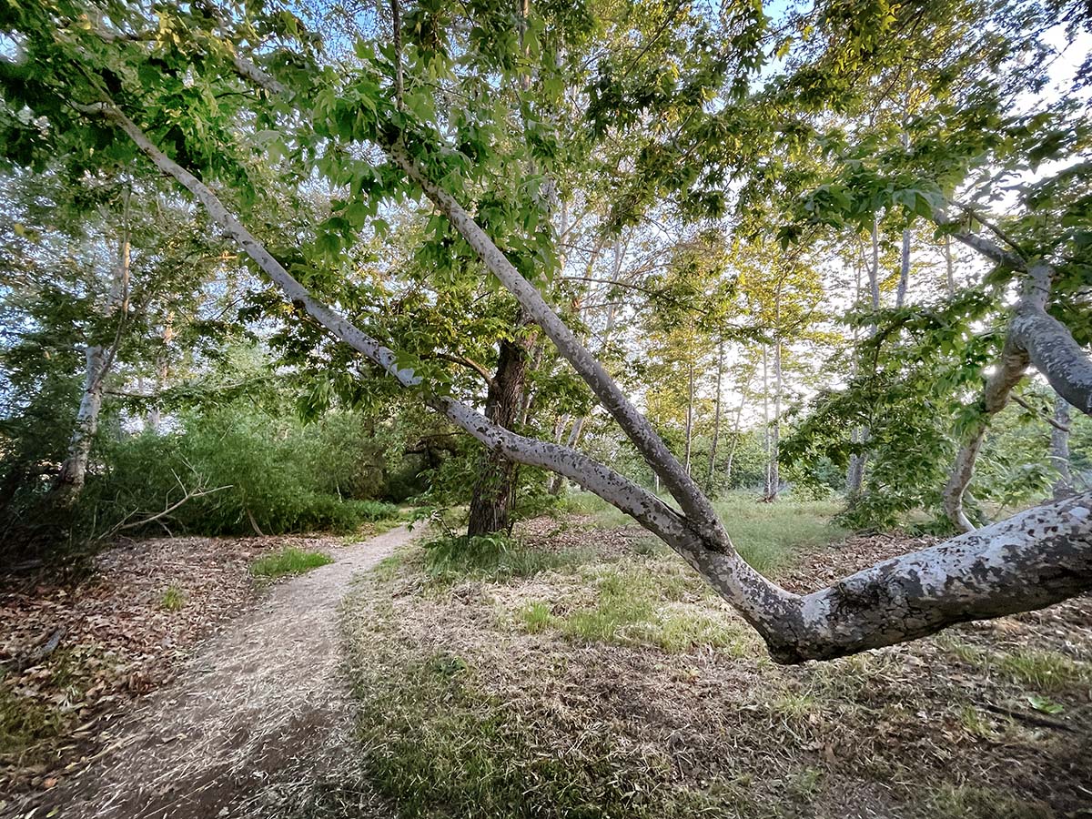
Purchased in 1994, the preserve has meadows, trees and a year-round stream known as Cienega Creek.
Dinwiddie has had extensive habitat restoration, removing invasive species and replacing them with native trees and shrubs. Oak, willow, and sycamore surround open fields and are popular with birds. We explored this area in summer. Despite it being one of the driest times of the year, this area still thrived with greenery, magic and beauty. Although a small hike, it is packed with beauty.
Hike: .25 mile loop Level: Easy
14. Dos Picos Park
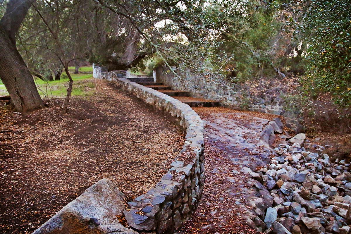
There is a nice loop trail you can take that will wind you uphill with beautiful views of the valley below and then drop you back down into the oak grove. I’ve visited this park a couple times now and have always found it very enjoyable.
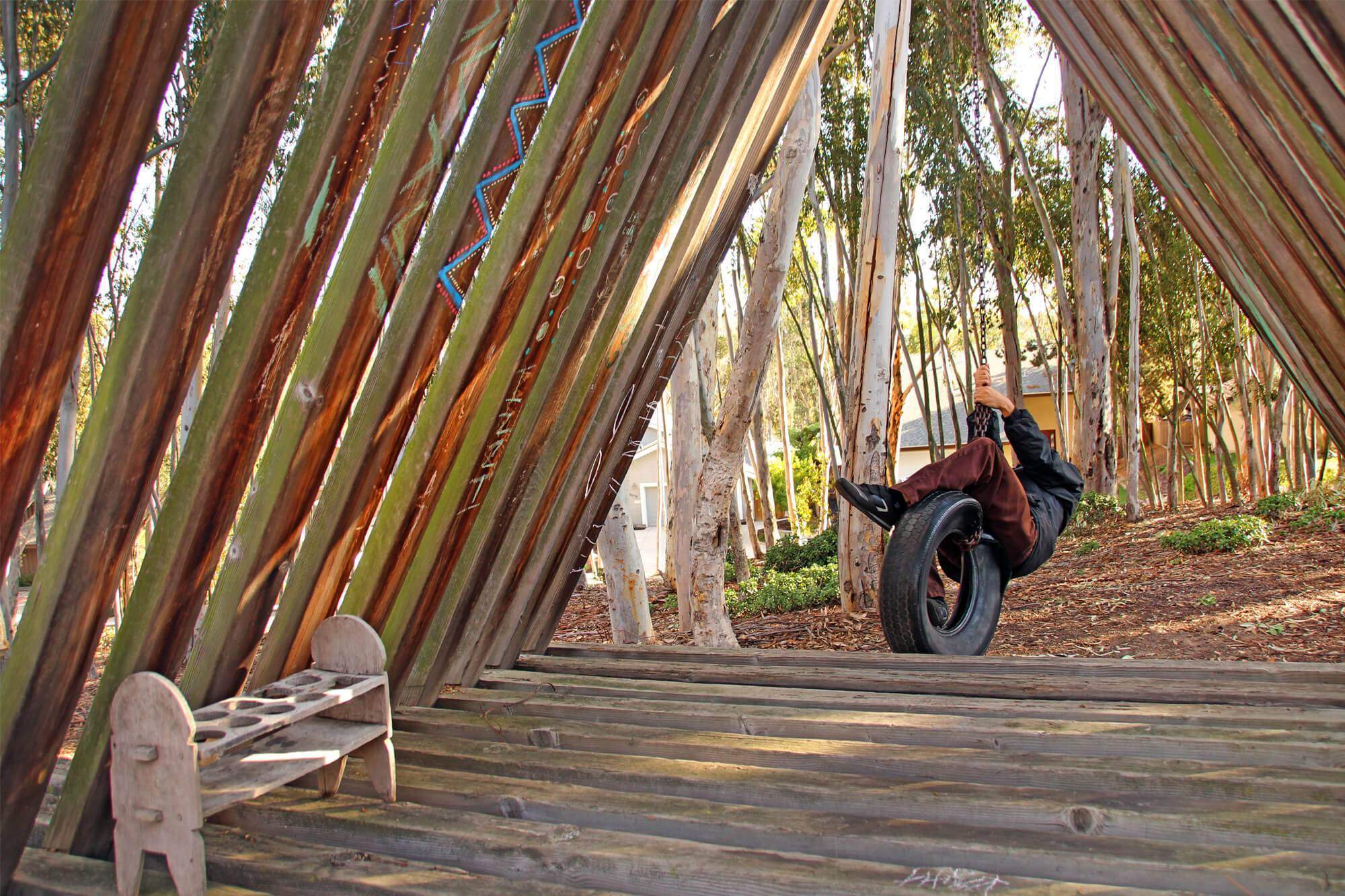
One of the main reasons I wanted to explore this park was because of an old, wooden structure I was tipped off to that resembled the same style of the Secret Pyramids of Scripps Ranch. Could it perhaps have been built by the same person?
Hike: 1.4 mile loop trail Level: Moderately easy
15. Eagle Rock
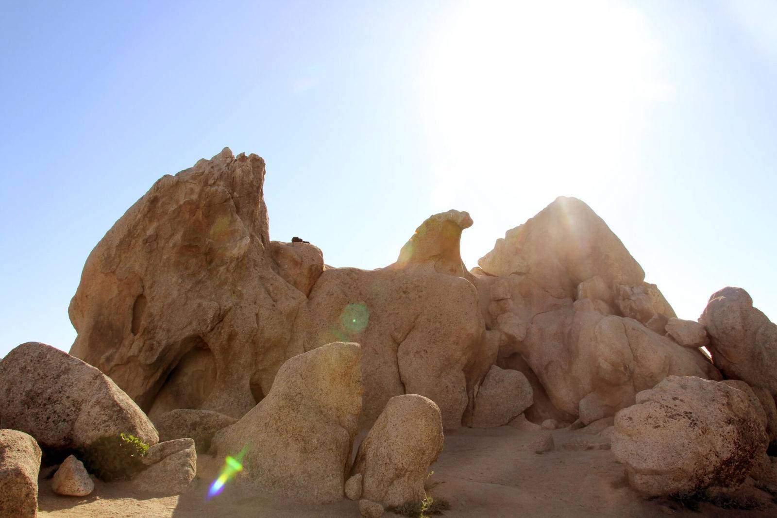
My mind goes wild with the possible legends Eagle Rock must have and how sacred it must be for tribes in the area. Stories that hopefully have been shared through generations.
I do know that this rock formation was created by wind and took thousands of years to look like what it does today. What the wind molded is utterly fascinating: an uncanny resemblance to an eagle. Even more special is that this rock lays direction atop the Pacific Crest Trail. A quick history lesson: the Pacific Crest Trail is a trail that spans from Mexico to Canada along the crest of the mountains in California, Oregon, and Washington and is 2,659 miles long.
Hike: Approximately 7 miles 2-way Level: Moderately Easy
16. Felicita Park
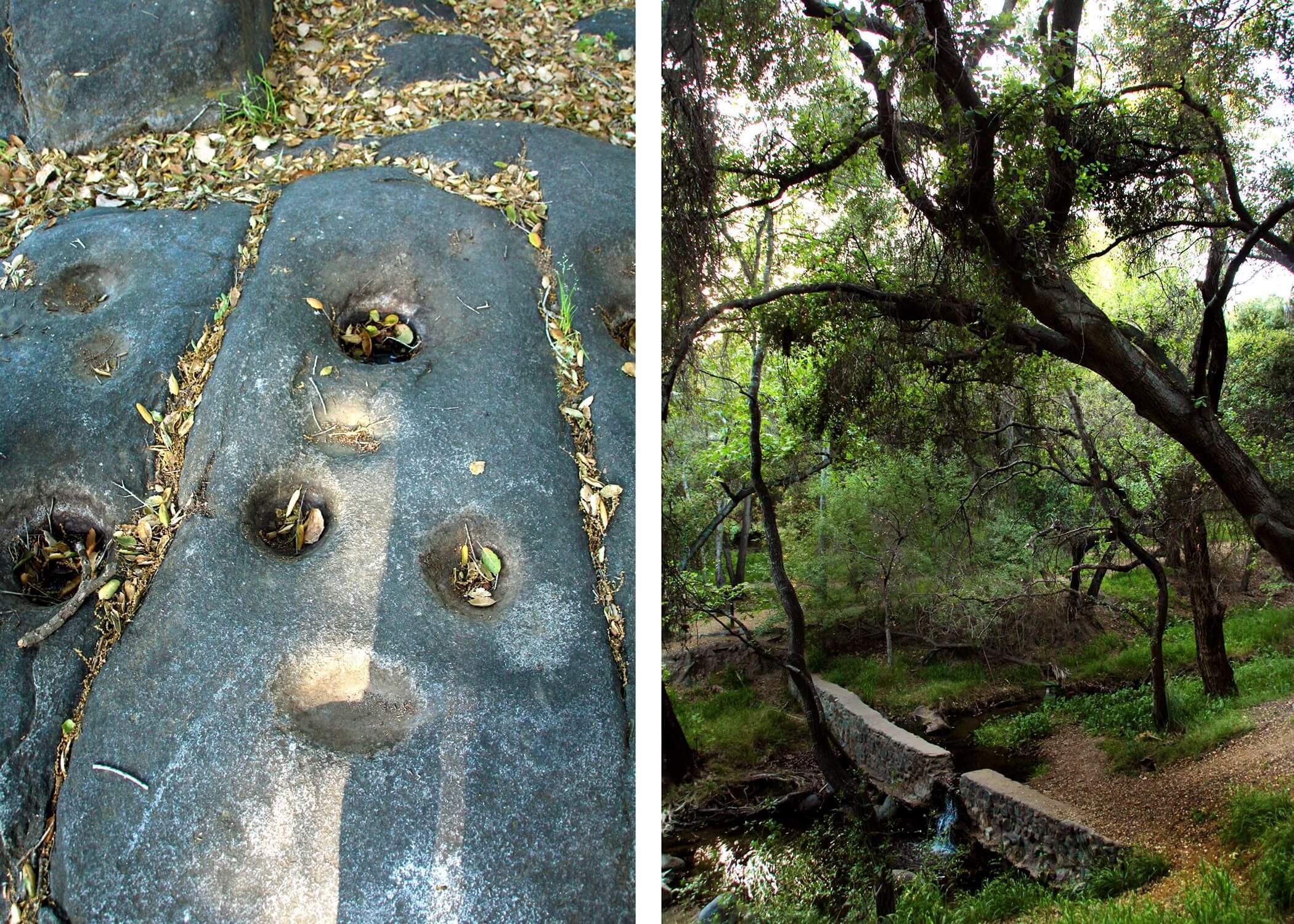
Felicita Park is the site of one of the largest and oldest Indigenous villages in the county. To this day, grinding holes and other artifacts reveal evidence of the centuries-old community of the Northern Kumeyaay
Felicita Park has always been one of my favorite parks. Perhaps because it is not your traditional park (in my opinion). There are is much grounds to wander around and just get lost in. It’s always had a bit of a magical feel to it. The Renaissance Faire is held here. I will attend it in the future and then make a post on that. A Ship in the Woods used to have their residency as well which was the coolest thing ever!
Hike: there are many trails on this property Levels: Easy
17. Galleta Meadows
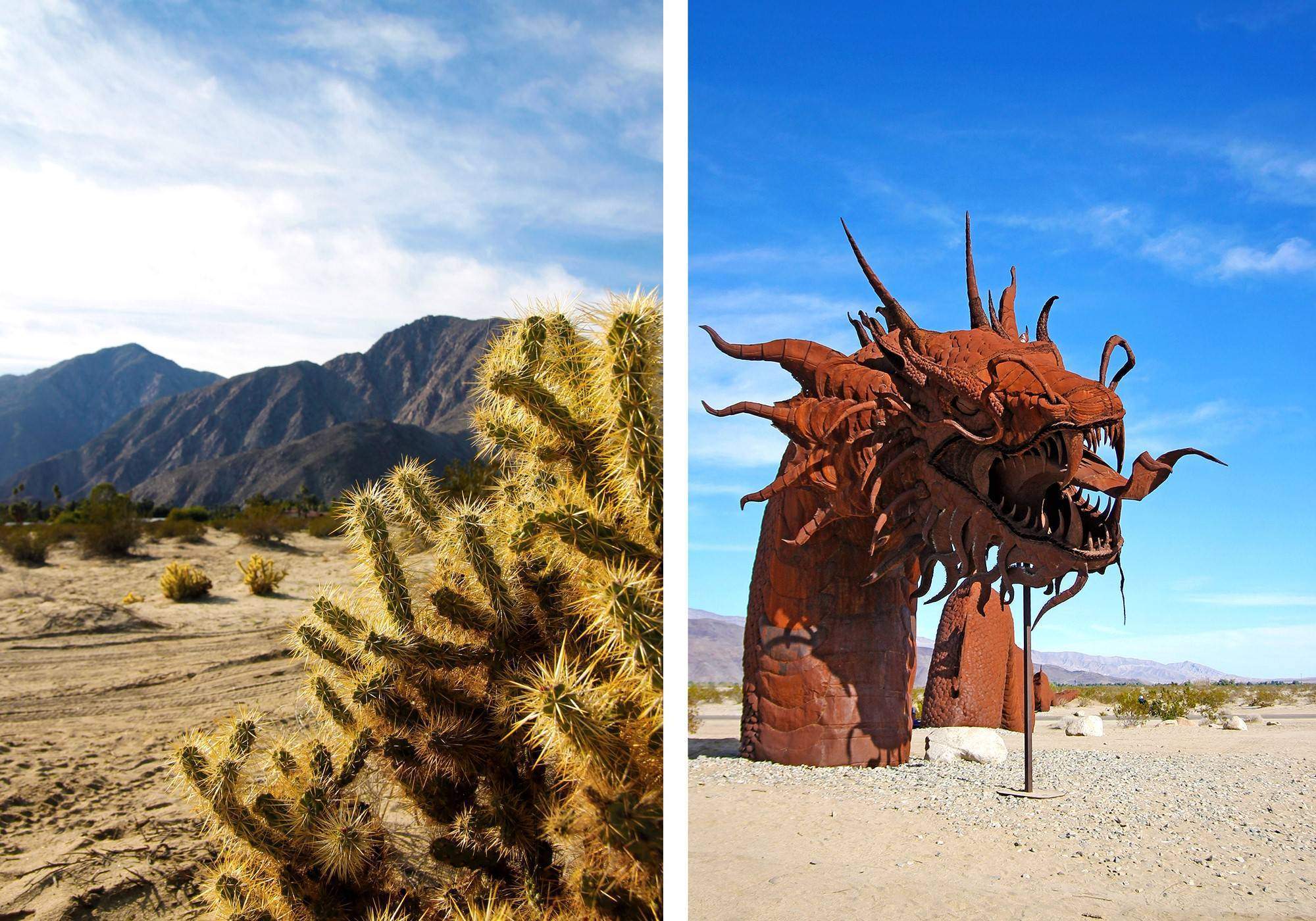
For those of you whom are art lovers and have not yet ventured out to Galleta Meadows, prepare yourself for a stunning experience unlike anything else in our city. This amazing site is home to nearly 200 metal sculptures depicting prehistoric creatures that once roamed the earth.
Keep your eyes peeled because these gigantic installations are scattered across 3,000 acres. Each sculpture is the product of the artistic genius of sculptor Ricardo Breceda.
Hike: This is more free-roaming vs. an out and back type hike. Think of it as a scavenger hunt! Level: Easy to moderately hard depending on whether you walk to every sculpture or drive a little. Keep in mind this is a cool weather adventure as it gets HOT out here.
18. Buena Vista Park
Buena Vista Park, located in Vista, was a surprising one. I had no clue how beautiful or extensive it is! All-trails and other blogs are saying it’s only a 1.3 mile loop, but I feel like that is only one of the options here. It is quite extensive looking at Google Satellite and the type of place you could return to many times.
Much of the hike is shaded (huge bonus), making this a hike you can do all year long and stay much cooler than you would otherwise! The trail will snake you along the Agua Hedionda Creek and oak groves. We found two secret swings hanging over the creek. See if you can find them!
Hike: There are many trails you can take Level: Easy
19. Hellers Bend Preserve
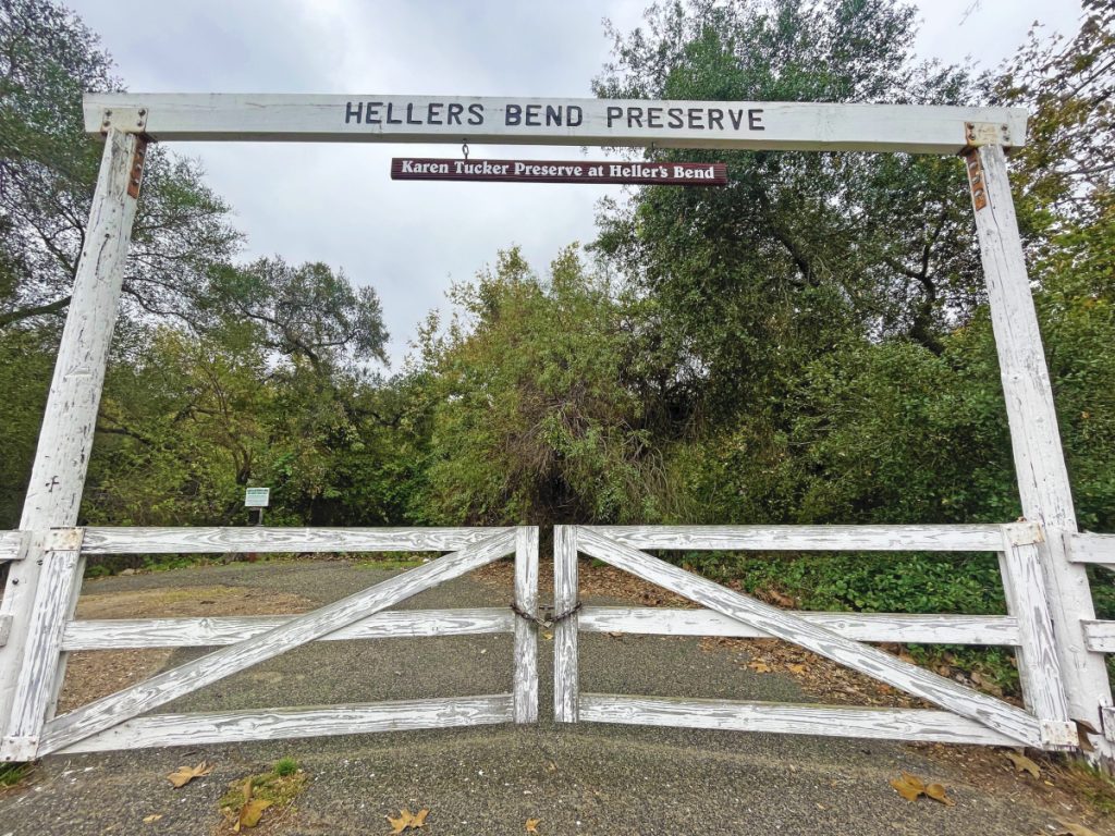
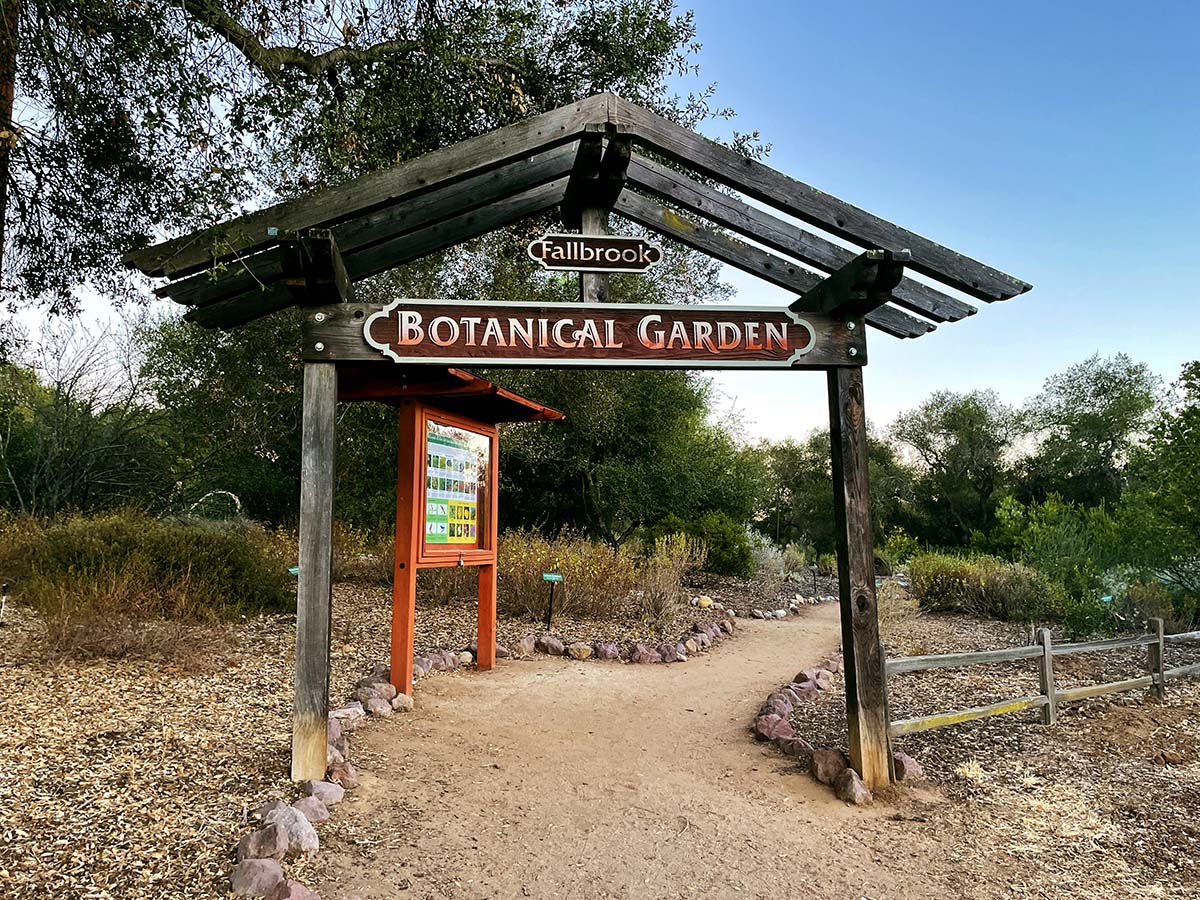
Heller’s Bend Preserve is one of Fallbrook’s beautiful hiking trails which has been protected and maintained by the Fallbrook Land Conservancy. This conservancy, as well as all the conservancies in San Diego County, has done such a great job preserving open spaces for us and future generations to enjoy. The wildlife thanks them very much too.
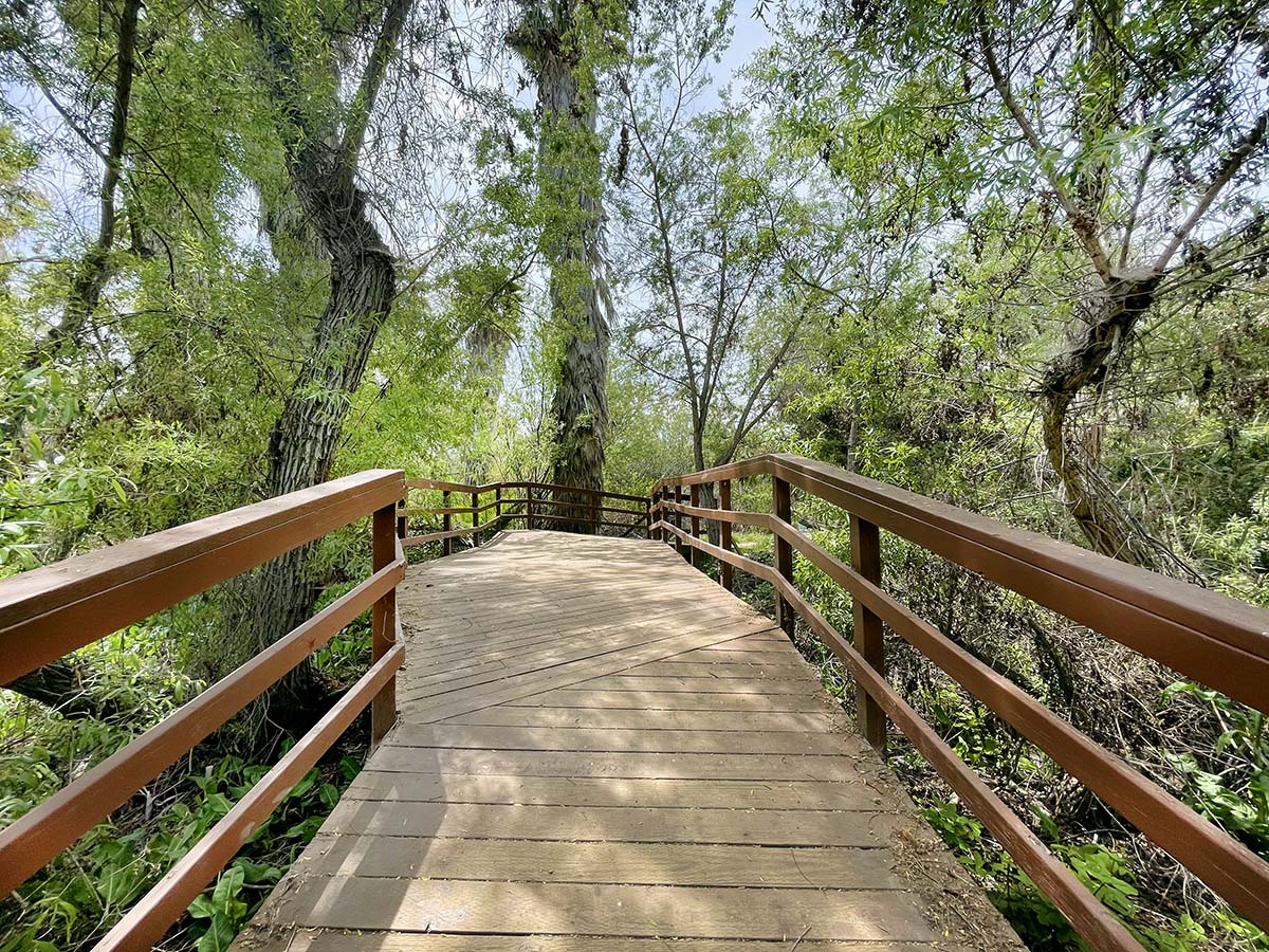
This is a short and easy hike with a 550 ft. elevation that will greet you with beautiful views at the top. Much of this hike is shaded making it even more enjoyable. Please note that the parking is literally non-existent and right along a windy 2-lane road. There are a couple dirt pull-offs for cars but that is it! For this reason, expect the hike to be isolated.
Hike: 1.5 miles out & back Level: Moderately easy
20. Hendrix Pond
Hendrix Pond is a decent-sized pond that is tucked away from any main streets and I doubt too many people besides the neighbors nearby know of it. I can’t say I know too much about this pond, but here is what I do know: the pond dates back to the E.W. Scripps period and was located 1/4 mile from the Scripps Castle.
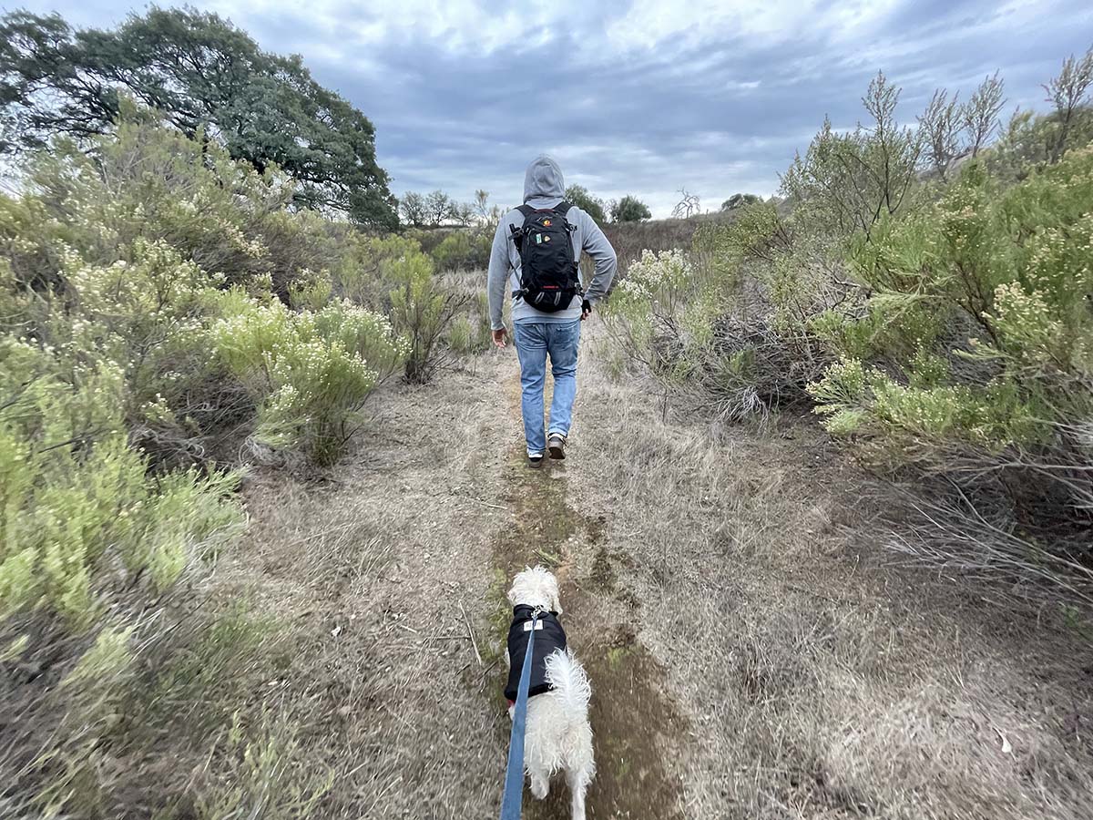
This pond would most likely be a disappointment to many, mainly because it is surrounded by homes, but we found joy in circling around it with our pup. We came across some kids fishing who caught a ton of these tiny fish. This is a good spot for families or for walking your dogs. It’s especially for those who don’t want to be around a bunch of people. It was very empty when we explored it. The hike to it is really pretty too.
Hike: .25 miles to pond Level: Easy
21. Hosp Grove
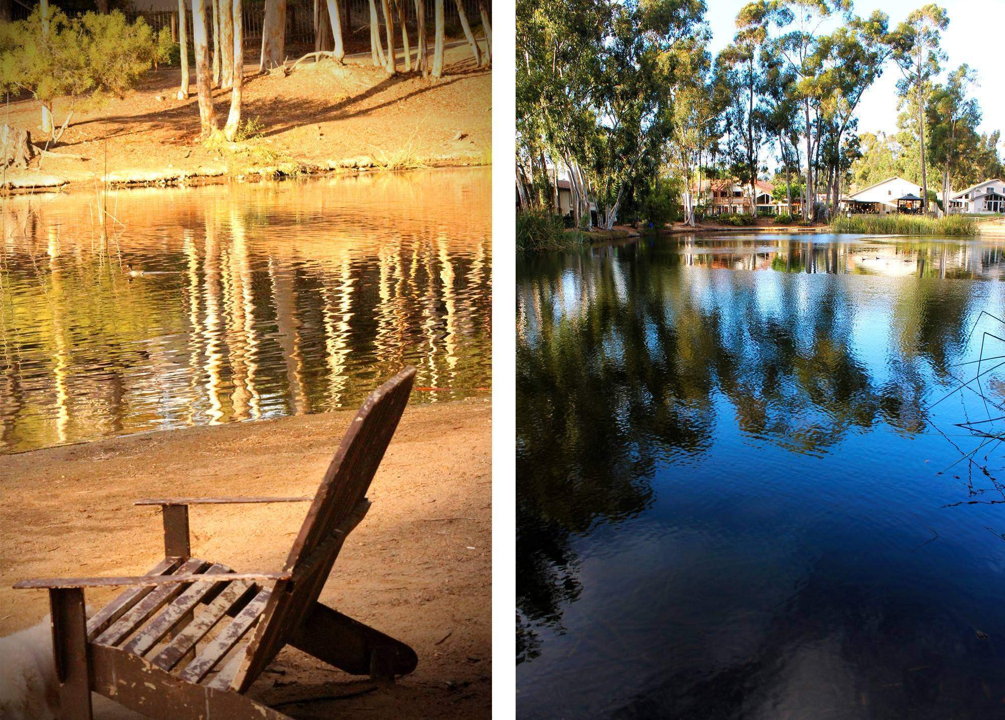
This was a pleasant hike. There are plenty of inclines for building endurance and if you go in winter or spring it should be nice and green. There is nothing ground-breaking about this area that we found, but pleasant nonetheless. This is a big area so there are plenty of other trails that we didn’t explore.
Hike: there are many different trails you can hike Level: Easy to Moderate
22. Hot Springs Mountain
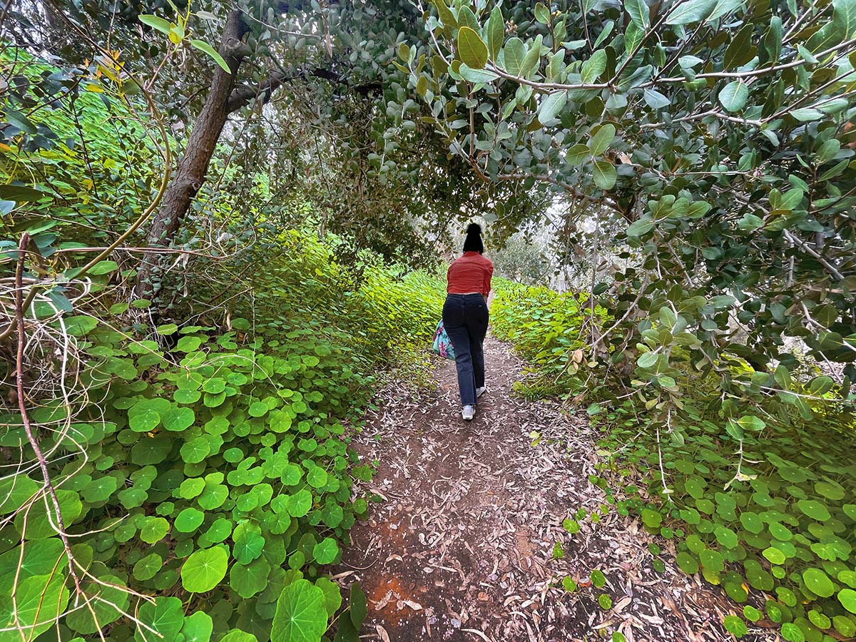
Hot Springs Mountain is the highest peak in San Diego with an elevation of 6,533 feet, which makes it 23 feet higher than Cuyamaca Peak. Hot Springs Mtn. is located in the Los Coyotes Indian Reservation, band of the Cahuilla and Cupeño Indians.
Although this would be considered a long hike to most, the incline up Hot Springs Mountain is pretty gradual as you slowly wind up the mountain. I always recommend going in cooler weather so you aren’t fighting heat exhaustion during your climb.
The peak offers views of San Diego, Riverside, San Bernardino, and Imperial counties on a clear day. To the north, Mount San Jacinto and Mount San Gorgonio can be seen, and on a very clear day, Mount Baldy can be seen too.
Hike: 9.9 miles out and back Level: Moderately Strenuous
23. Inaja Memorial Park
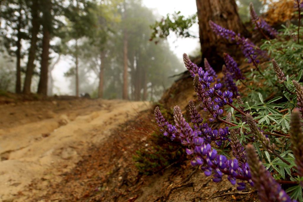
Inaja Memorial Park is a beautiful lookout point and picnic area in Santa Ysabel. We love stopping by here on our way back down the hill from Julian, oftentimes to appreciate the sunset. There is a nice loop trail you can take giving you beautiful scenic views.
This site memorializes 11 firefighters who lost their lives in the 1956 Inaja Fire which consumed 60,000 acres. The 3440 elevation offers an excellent variety of scenery with clear views down to the San Diego River canyon and scenic vistas of the Palomar and Volcan Mountains.
Hike: 1 mile loop Level: Easy
24. Jack's Pond Nature Center
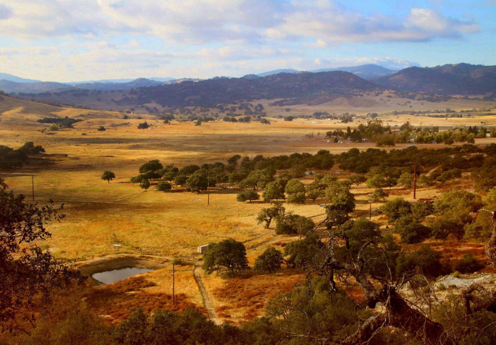
Jack’s Pond is a nice family spot or place to walk your dog. Enjoy 23 acres of woodsy hiking trails and a pond which, at the time we visited, was looking quite sad. We need rain! The pond is home to bluegill, catfish, large-mouth bass and crappie fish.
There is a playground for children and picnic tables for lunches. Propane barbecues are allowed in designated picnic areas only. Charcoal and wood fires are not permitted. There was a nature center which was closed when we visited. Boo! It was fun to explore nonetheless.
Hike to the pond: .25 miles Level: Easy
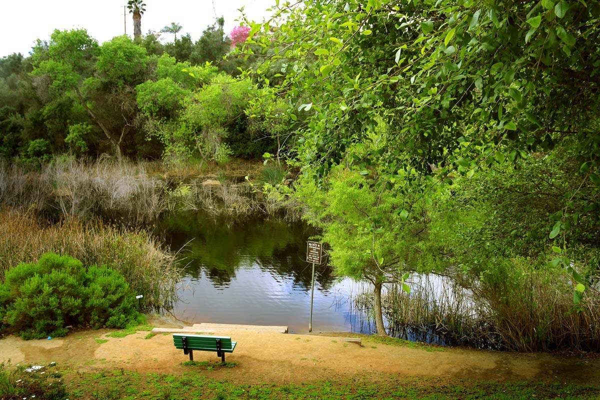
25. Kumeyaay Lake
Kumeyaay Lake is located in Mission Trails Regional Park. This is a beautiful little area with a loop trail that will take you around one of the lakes. There are other trails as well that will wind you around the other lake.
Hike: 1.8 miles out and back Level: Easy
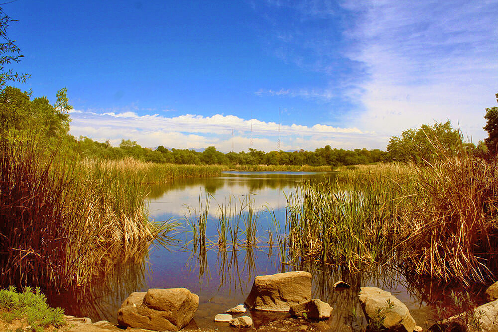
26. Sunset Trail to Laguna Meadows
The Sunset Trail in Mt. Laguna was such an unexpected surprise the first time I did this hike. On this hike you will see sprawling meadows (either in hues of yellows, green or white depending on what time of the year you visit), several bodies of water (that occasionally dry up) and scenic views that span all the way to the ocean on a clear day. The hike is packed with variety and beauty, all in under an 8 mile loop.
Hike: 8 mile loop Level: Easy (just wear good shoes)
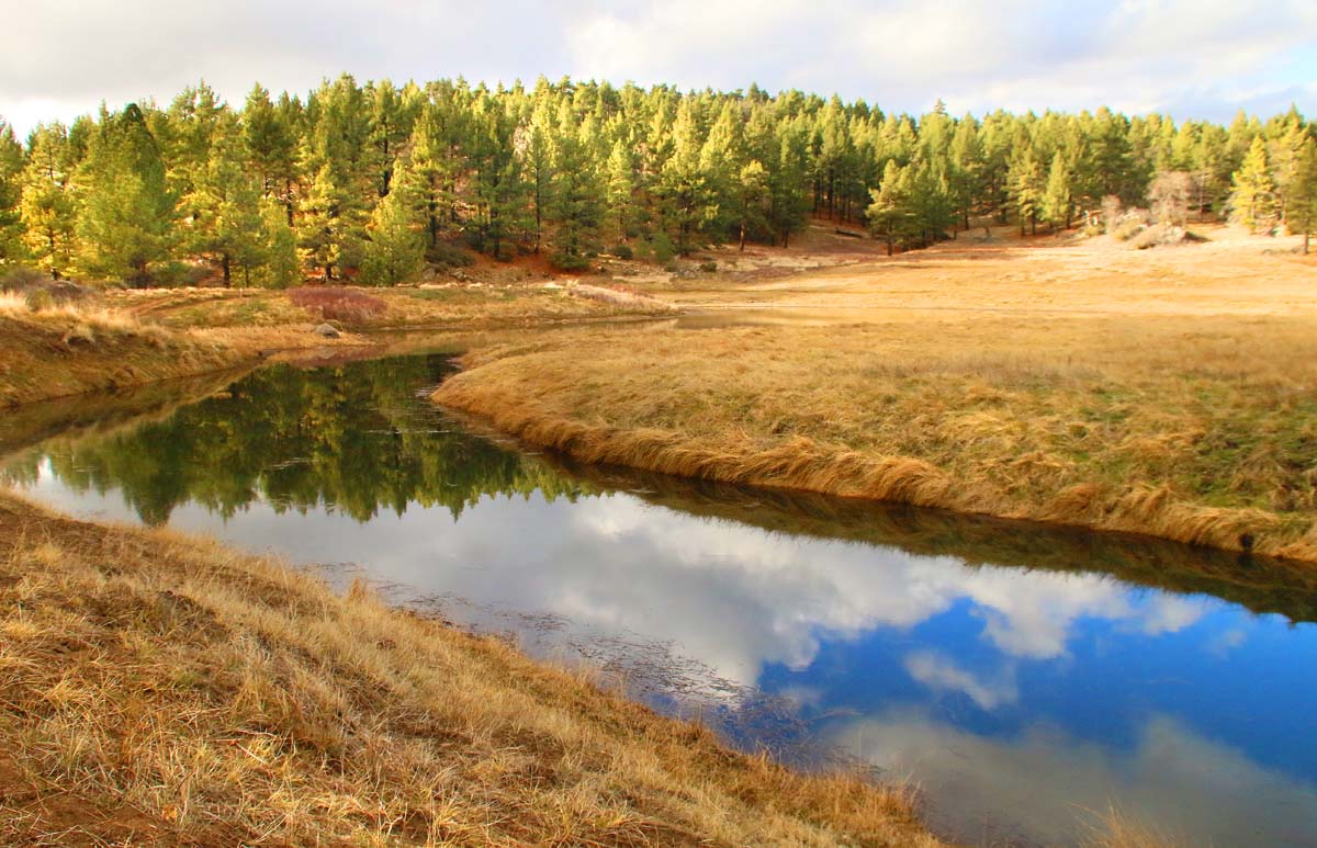
27. La Jolla Natural Park
La Jolla Natural Park is without a doubt a hidden gem. There are two ways to enter this park: one is a 1.5 mile climb up the mountain, the other is a 1 minute hike. Either way, the parking will be slim, which makes visiting it a bit of a challenge.
If you’re ok with tight street parking along the curvy roads, then parking shouldn’t be too much of a problem. If you park at the top, once you make it to the trailhead, within seconds you will be greeted with stunning views of the coastline.
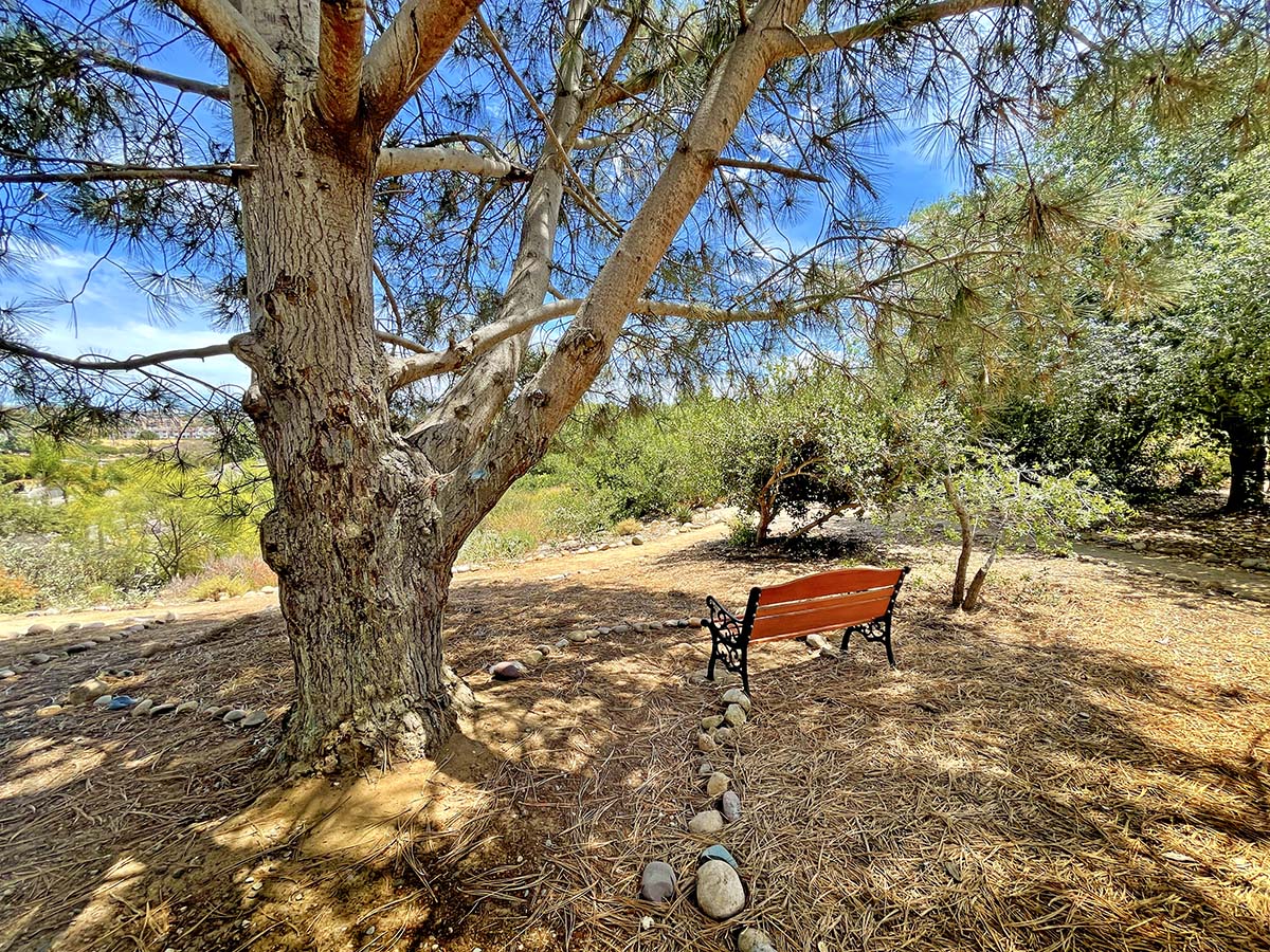
If you only visit once, I would say that springtime is the best time to visit. The wildflowers will be blooming and everything will be lush and brimming with life. I haven’t hiked the trails that navigate through the hillsides yet, but I will one day!
Miles: It varies between .25 miles and 42 acres of hiking trails Level: Easy-Moderately strenuous
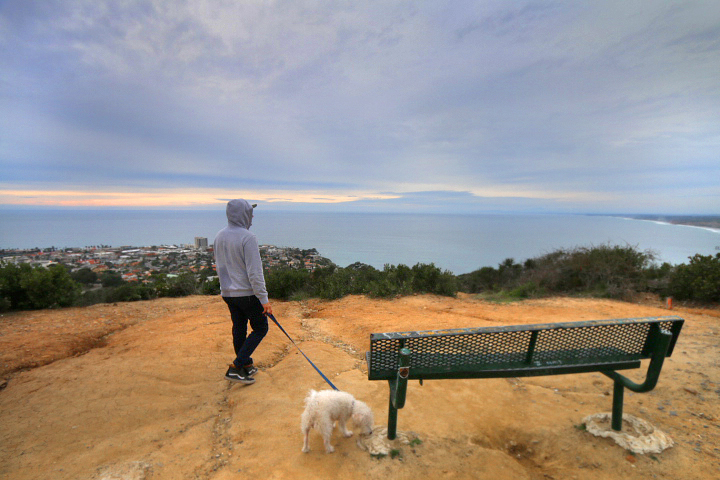
28. Lake Hodges Waterfall
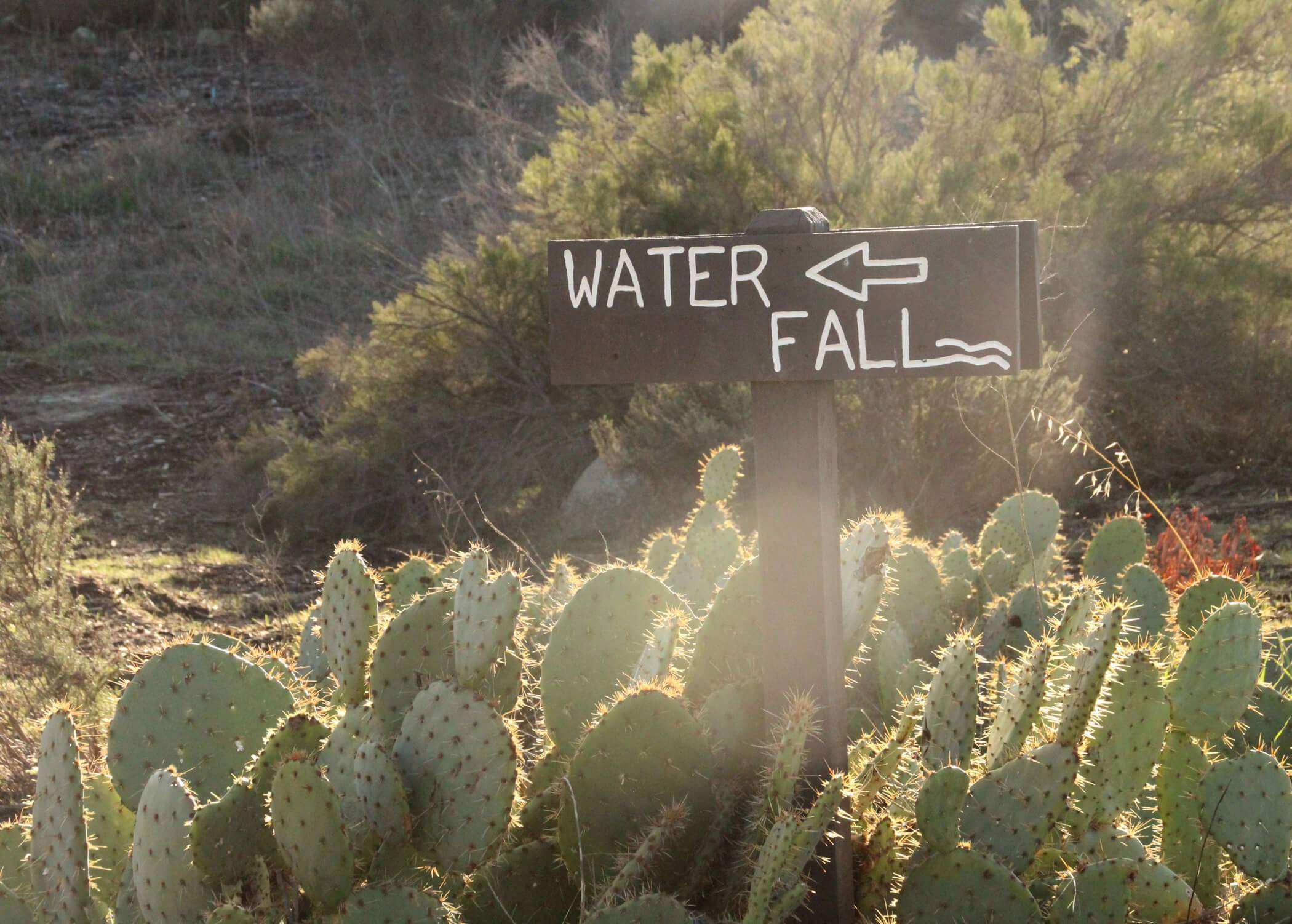
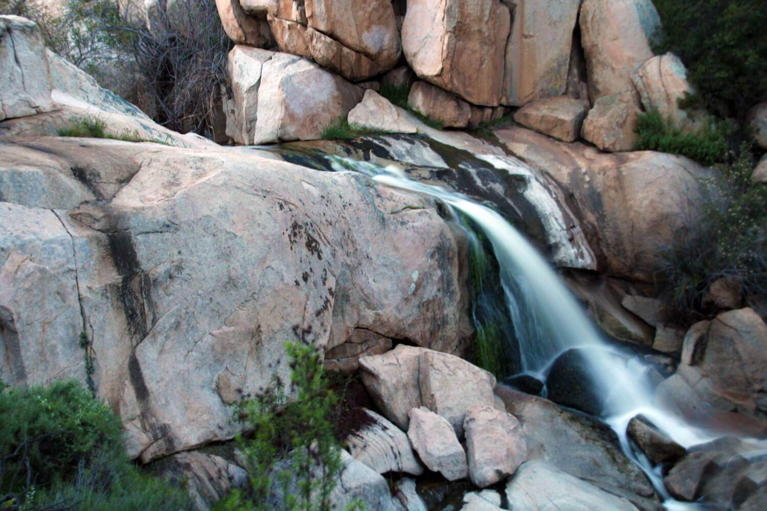
This whole area is extremely peaceful with plenty of native plants and signs identifying them and their uses. The Lake Hodges Waterfall is not huge by any means, but still worth visiting and perhaps having a picnic at!
The view is very nice from this spot. There is a huge lake and a variety of birds. Make sure to visit the waterfall in late winter/early spring after we've gotten enough rain for the waterfall to be at its strongest!
Hike: .6 miles Level of Difficulty: Easy
29. Live Oak County Park
ive Oak County Park is a very special place. As you stand among the shaded oak groves, keep an eye out for the mortars (grinding holes) in the bedrock. This is not just another park, this is an ancient Native American village. For thousands of years, the Luiseños would call this very park home.
Live Oak County Park also has an amphitheater, workout station, softball field, trails, a dog park across the street, barbeque grills, picnic tables, a basketball court, soccer field, volleyball court and four restroom. It is a beautiful park. Please come here with respect for its history.
Hike: There are small trails around the outskirts of the park that we found to be very pretty and worth taking. Level: Easy
30. Palm Canyon
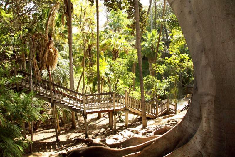
Palm Canyon is a tropical oasis, containing more than 450 palms (58 species) within its 2 acres. A true hidden spot in Balboa Park, the winding paths take the visitor into a shady, lush canyon. The original group of Mexican fan palms - so prominent in the canyon - date back to 1912. This beautiful, hidden gem was originally planned and planted by the "Mother of Balboa Park", Kate Sessions.
Although this is a small adventure, it is really packed with beauty! There are so many different varieties of tropical plants growing and winding around this canyon. Since this is a canyon filled with palm trees, check out the many different types of dates growing off of them! It's a fun little wonderland in there and I think a must-see spot when in the area.
Hike: 1 miles out and back Level: Easy
31. Point Loma Native Plant Garden
The Point Loma Native Plant Garden was a lot more than I had expected. This is definitely a must-visit spot for garden and plant lovers. Tucked away in a residential Point Loma neighborhood sits this beautiful native plant garden brimming with rare and endangered plant species. We visited in late spring and a ton of plants were blooming at the time.
Hike: 1.5 miles to walk through Level: Easy
32. Rancho Peñasquitos Waterfall
The Rancho Peñasquitos Waterfall is not much of a waterfall by normal standards, but for San Diego, I guess this is what we qualify as one. Los Peñasquitos Canyon is characterized by varied natural resources.
This hike is better for kids age 8 and above I'd say. It takes you out into the back-country and may be tiresome for younger kids.
Hike: 5 miles round trip Level: Moderately easy
33. San Dieguito County Park
San Dieguito County Park is a beautiful park located in Del Mar, just a stone’s throw from the ocean. The park offers a ton of recreational activities which include over 5 miles of unique hiking trails, 5 playgrounds, a wedding gazebo, butterfly park, 2 duck ponds picnic area, suspension bridges a basketball court and more!
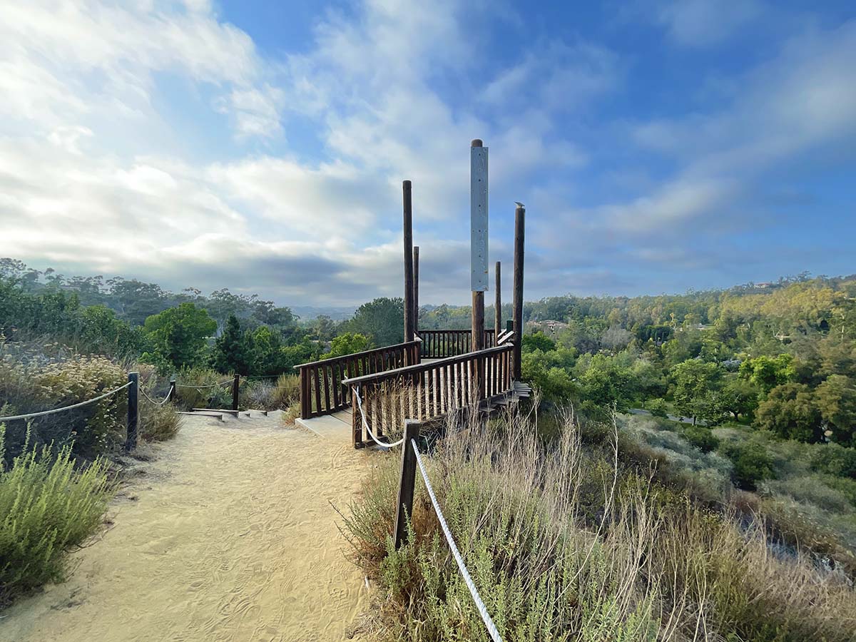
Discover picturesque views from Activity Hill – complete with 10 fitness stations, three hillside ladders and lookout platforms, two suspension bridges, and two track trails for kids with nature-themed scavenger hunts to win prizes online.
Hike: There are many different trails you can take Level: Ranging from easy to moderately easy
34. Secret Pyramids of Scripps Ranch
Until recently, these pyramids were a complete mystery as to who built them and why. As the legend goes, 7 pyramids were constructed at least 60 years ago and placed in various parts of the woods in Scripps Ranch. Although some have since been destroyed, at least 3 still stand today.
This is not a crazy adventure by any means, so don't plan a full day of crazy hiking and bravery in order to find them. They are hidden and camouflaged though and quite fascinating as to why they were built. They are pretty large and each have their own character.
Hike: These are three different spots, all under a .25 mile hike Level: Easy
35. Secret Swings
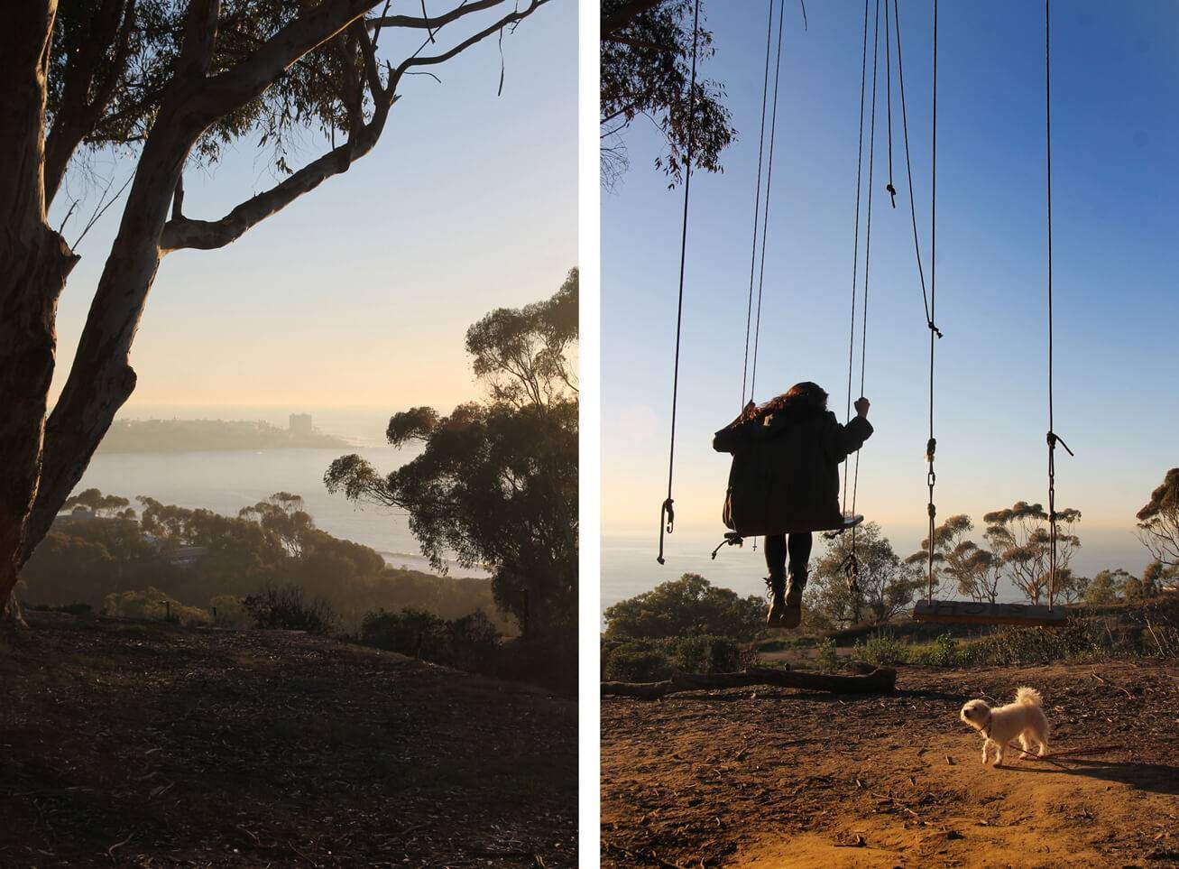
The Secret Swings were originally put up by UCSD students. That does not surprise me as UCSD is filled with arty, hidden gems! We have also found unique “yeti huts” as I am calling them, which are built from the eucalyptus branches which have fallen all around.
Unfortunately the swings are at a constant battle with the city. The city tears them down, the people put them back up. For this reason, do not be surprised if the swings have been torn down if you visit. Give it another shot another day and they might already be back up!
Hike: There are several swings here that are between a .10 mile hike to a .5 mile hike Level: Easy
36. Spot 20
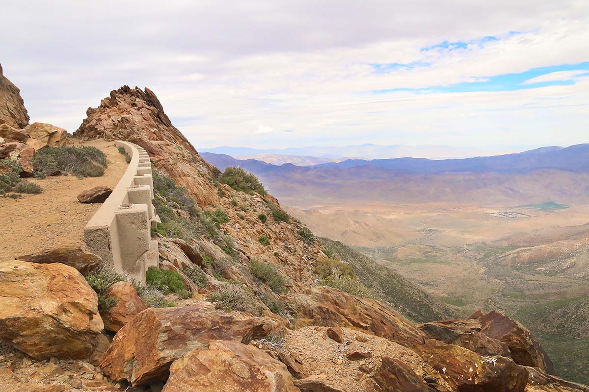
For those who can’t dedicate a few months to hiking the Pacific Crest Trail but would like to get a small flavor of it, might I recommend this beautiful hike! It is quite windy here so be ready for that. Also it is advised to dress warm for this same reason, although sometimes you can get lucky and it isn’t super cold. At an elevation of 6,000 ft. it does snow here in the winter too.
The views are gorgeous and this is a popular spot for hang-gliders. We have another page of the lookout point on this page where you can learn more of the history, but this is specifically for the hike. We only did a couple miles of the hike as we had other places to be this day. If you want to do the hike in its entirety, it is 11 miles round trip.
Hike: The views get beautiful right from the parking lot, so how much you want to hike is up to you. The total trail is 11 miles round trip Level: Easy to difficult depending on how long you hike.
37. Tijuana River Valley Regional Park Butterfly & Bird Garden
The Tijuana River Valley Regional Park, located in Imperial Beach, is a wonderland in itself with over 1800 acres and 22.5 miles of hiking trails. This specific page is for their butterfly and bird garden which has multiple trailheads attached to it. The garden itself is only a few acres but still quite beautiful.
This area is AMAZING for bird watching. Over 340 native and travelling bird species have been spotted here. I have visited here a couple times and two of the rarer birds I was able to identify were a Black-throated Magpie-Jay and a Cardinal. It was a very special experience to get to see these birds in the wild.
Hike: There are over 22.5 miles of hiking terrain, so keep it as simple or lengthy as you wish. The immediate area is great for exploring. Level: Easy to hard
38. Volcan Mountain
Volcan Mountain Wilderness Preserve offers approximately 2,900 acres of mixed conifer forest. Hike to the summit for spectacular views from the desert to the coast. This roughly 5-mile round-trip hike is considered moderately-difficult, with steep inclines.
We did this hike in December when the weather was perfect for an uphill climb. It was an almost completely secluded hike with views that only got more beautiful the higher we climbed. We got lucky and found several metates/mortars although I am going to keep their whereabouts top-secret to help preserve history. This is a great hike for families and is dog-friendly. There are lookout points with benches to appreciate the views and have small breaks during your hike.
Hike: 3.2 miles loop Level: Moderate
39. Doane Valley
There was drizzle most of our hike but the fog made this possibly the most surreal hike I’ve ever been on. It was SO beautiful. Palomar Mountain is gorgeous any time of the year but when you visit in the winter when it’s thick with fog, oh man, it is a brand new experience!
Make sure to visit Doane Pond when you’re here which is about a minute hike from the parking lot! My two must-visit trails in Doane Valley are the Weir Trail and French Valley Trail, both which can easily be done in the same day!
Hike: .1 miles Level: Easy
40. Wright's Field
Wright’s Field is a 230 acre nature preserve located in Alpine. There are many different trails you can take among this California native grassland. See if you can spot the rare chocolate lily or mission bell during your hike!
It also appears that Wright’s Field was part of an historic stagecoach route. I saw a photo online of a plaque that said “Jackass Mail Trail Historic Route”. It is said to be the first U.S. mail route, being started in 1857. The route road travelled through Viejas from San Diego to Yuma, AZ.
Hike: there are many different trails to take here Level: Easy to Moderate depending on which trail you take


