

24 Beautiful Mountain Hikes in San Diego
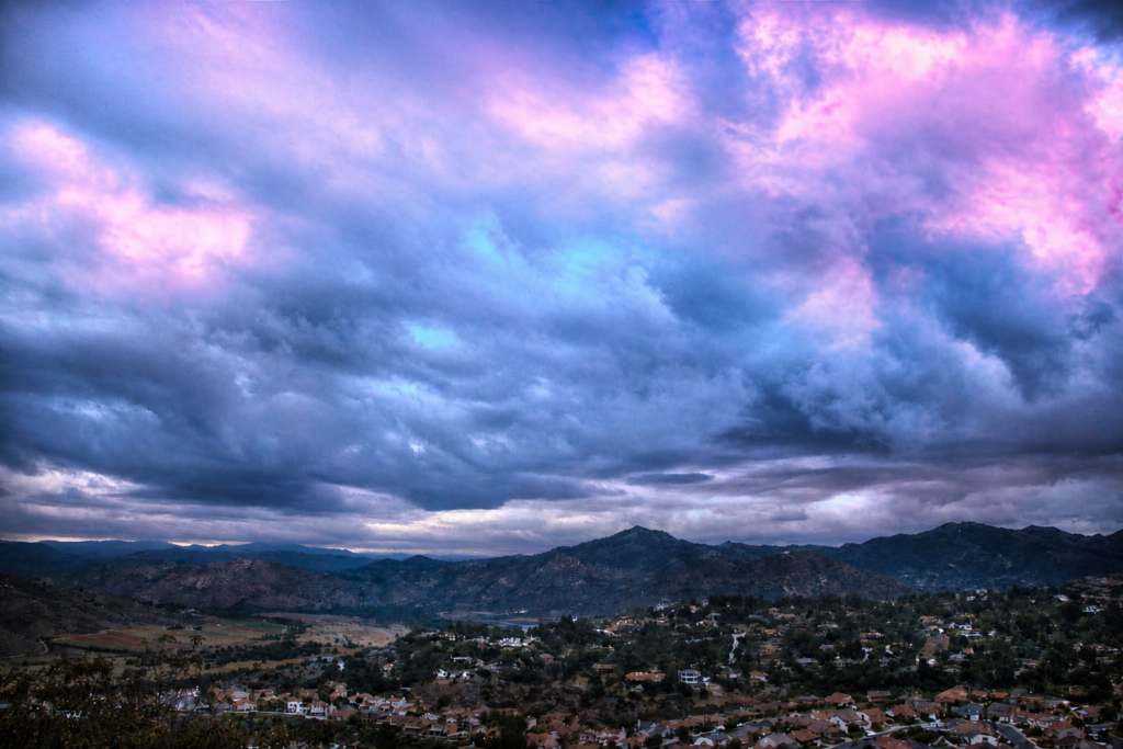
San Diego County offer SO many beautiful hikes, but sometimes you just crave incredible views far away from everyone. Over the years we've done many beautiful mountain hikes that range all over the county.
Here are 24 beautiful mountain hikes that have all different levels of difficulty. Happy hiking!
1. Westside Road & Devil's Jump-off
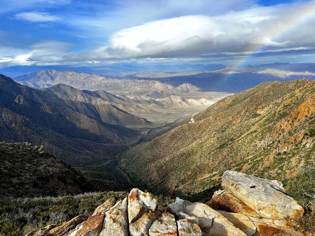
Located in the backhills of Ramona is a scenic hike that will end with views of one of San Diego's elusive waterfalls: Devil's Jumpoff. If you hope to catch the waterfall running though, make sure to hike after we've had some good rainfall as it is seasonal.
The trail is actually an old fire road which overlooks Dye Canyon. We spotted several cuts in the hills that appear to be seasonal waterfalls beyond the Devil's Jump-off. I will have to return one day after a good storm and report back!
2. Volcan Mountain
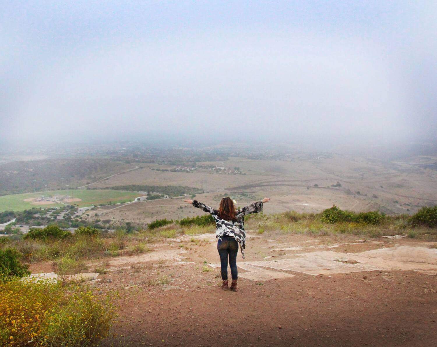
Volcan Mountain was off-limits to the public for most of the 20th century, so we are quite fortunate to get to explore it today! The preserve offers approximately 2,900 acres of mixed conifer forest. Hike to the summit for spectacular views from the desert to the coast. This roughly 5-mile round-trip hike is considered moderately-difficult, with steep inclines.
3. Battle Mountain
Battle Mountain is a short yet strenuous hike up a small hill with beautiful views over-looking locations such as Lake Hodges and Rancho Bernardo.
Battle Mountain got its name from the Battle of San Pasqual that took place in 1846 at a hill nearby called Mule Hill. Mule Hill/Starvation Mountain revived its name after the battle when the soldiers ran out of food and had to kill some of the mules in order to eat.

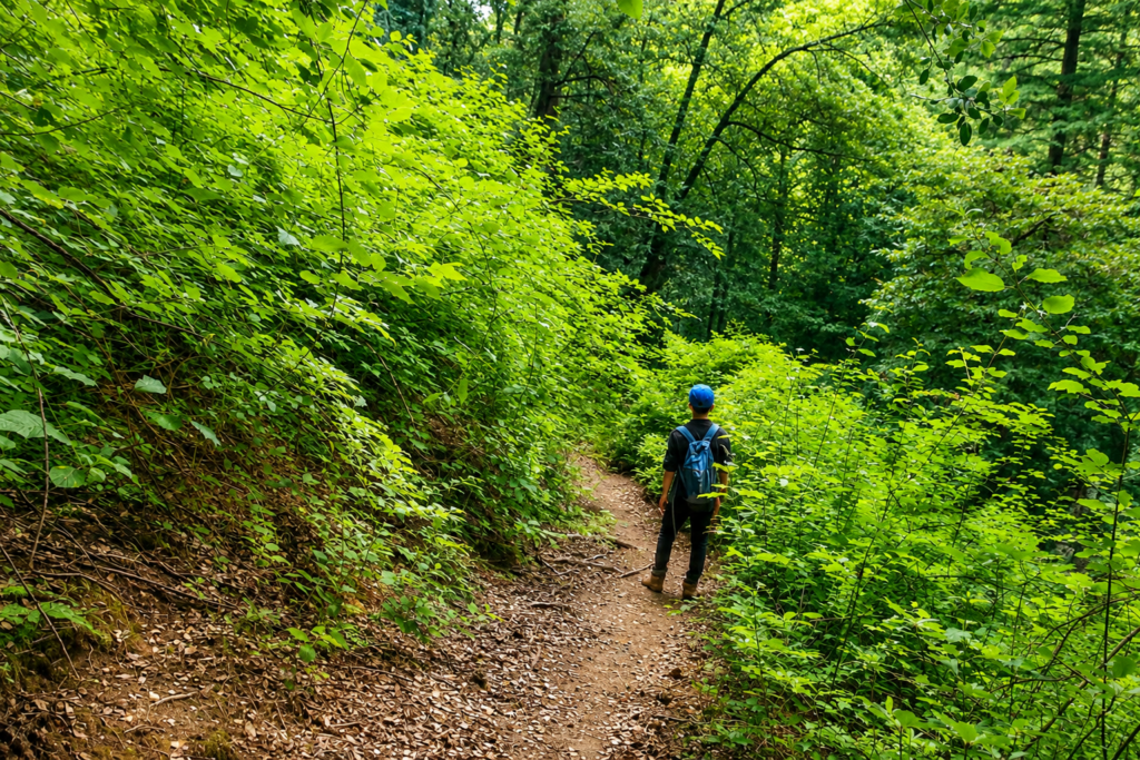
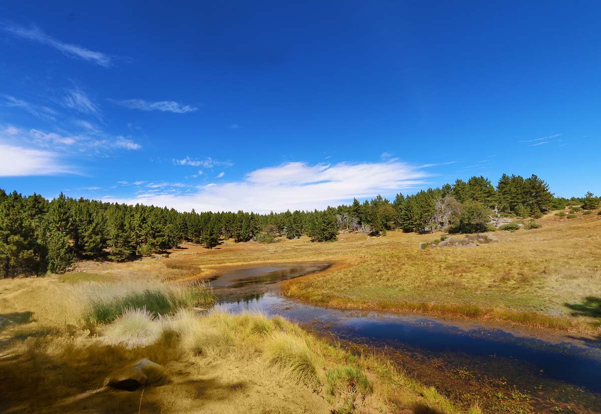
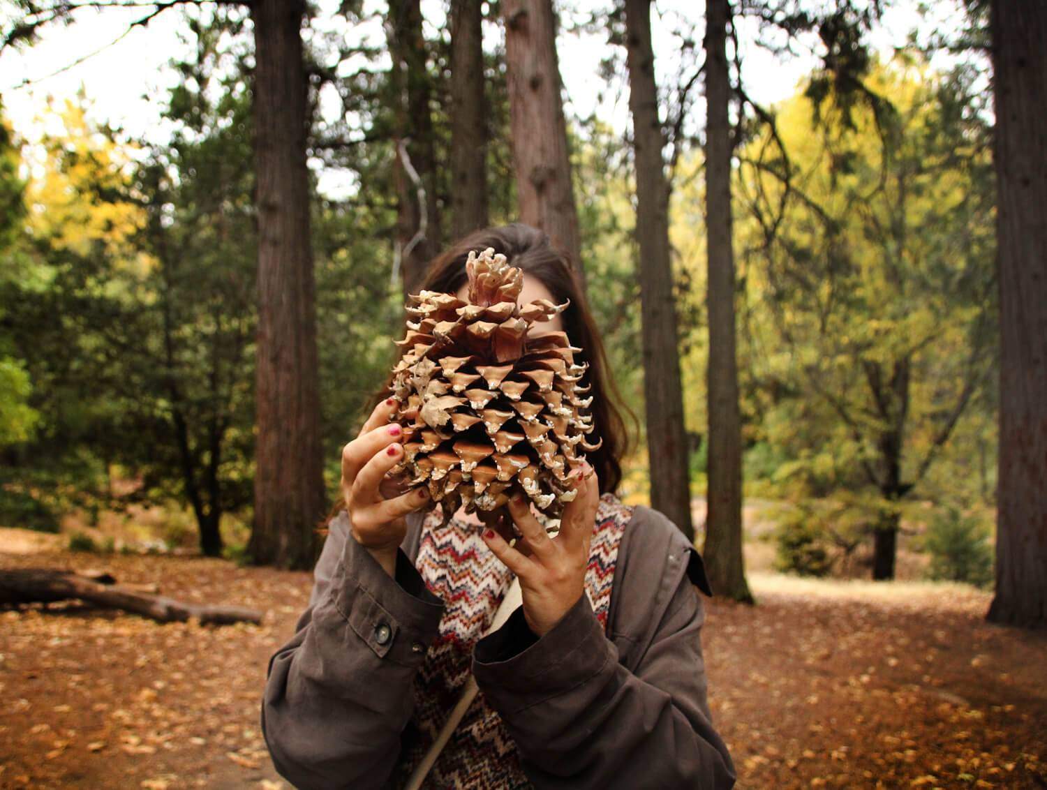
4. Fry Creek Camouground & Trail
Fry Creek Campground is one of several camping options on Palomar Mountain. Just like every inch of Palomar Mountain, this campsite was beautiful, lush and green! There is a loop trail that takes you around the perimeter of the campsite which we checked out. It had truly stunning landscape and what appears to be seasonal waterfalls (will be coming back in winter to confirm).
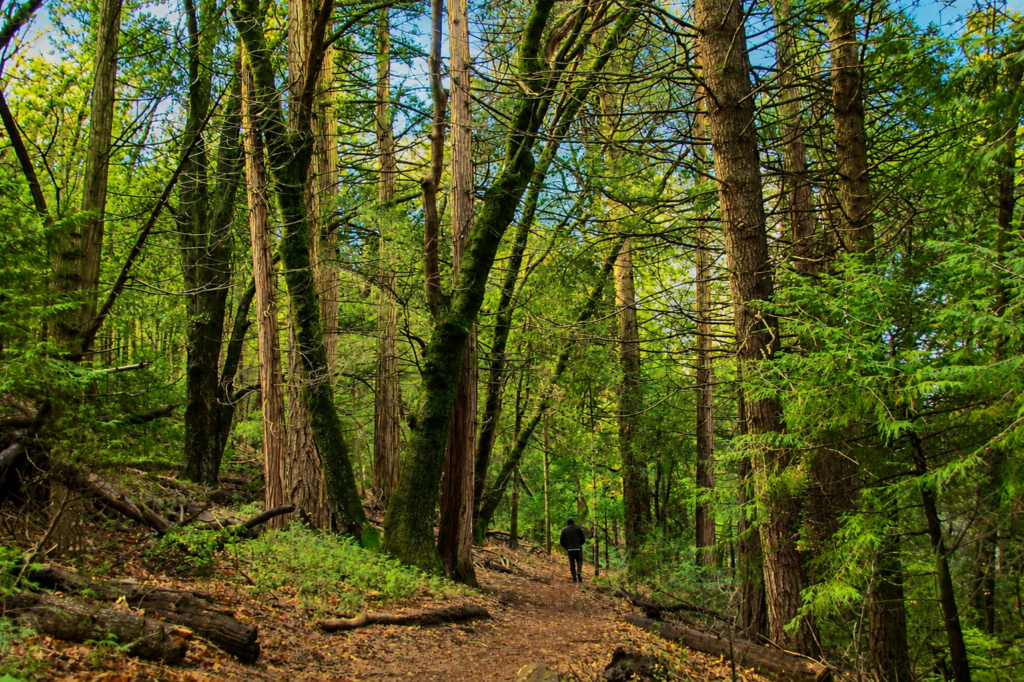
5. French Valley Trail
The French Valley Trail is a small off-shoot trail in Lower Doane Valley in Palomar Mountain. To get here you will have to take the Doane Valley Nature Trail or Weir Trail first. The 3 trails are connected together creating a loop, except the French trail will take you down a small trail with a dead end in which you will turn around and continue on the loop.
6. Spot 6
High up in the hills of San Diego County quietly sits a piece of eroding history dating back to WWII. The year was 1942, and paranoia had risen across the country about a possible Japanese invasion. To prepare, the army acquired 3570 acres of land and built a campsite and concrete bunkers, with coastal views to catch early attacks.
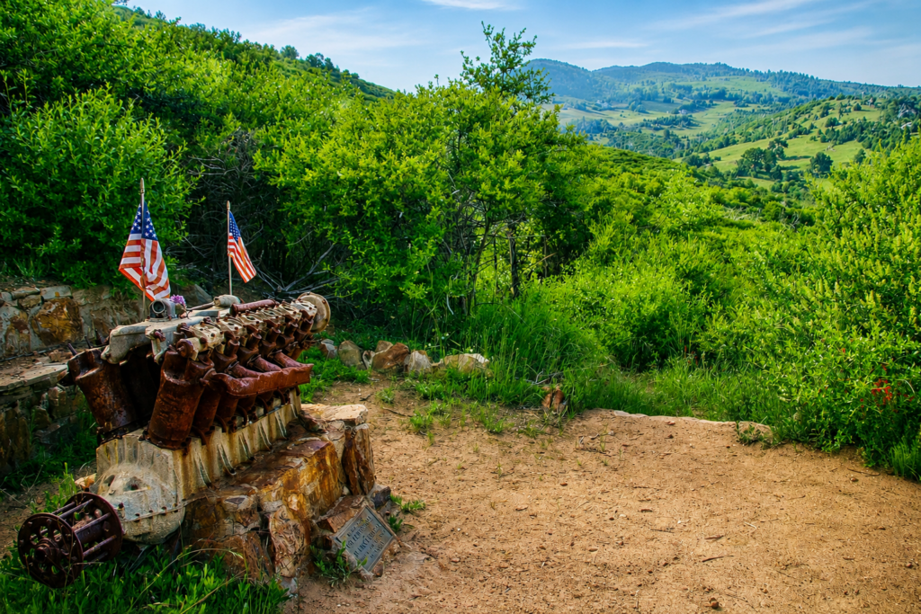
7. Airplane Crash on Japacha Ridge
Located 800 feet above a trailhead near Green Valley Falls lays “one of the most sought after crash sites in U.S. military history.” The memorial site is small, consisting of a burned V-12 cylinder aircraft engine mounted on a stone & concrete pedestal and a plaque attached to the pedestal dedicated to U.S. Army pilot First Lieutenant Charles F. Webber and U.S. Cavalry Colonel Francis C. Marshall. The plaque reads “Who fell on this spot on December 7, 1922.”
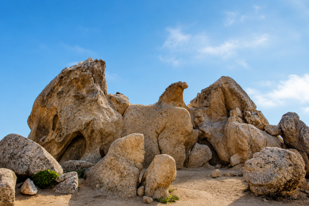
8. Eagle Rock
My mind goes wild with the possible legends Eagle Rock must have and how sacred it must be for tribes in the area. Stories that hopefully have been shared through generations. I do know that this rock formation was created by wind and took thousands of years to look like what it does today. What the wind molded is utterly fascinating: an uncanny resemblance to an eagle. Even more special is that this rock lays direction atop the Pacific Crest Trail. A quick history lesson: the Pacific Crest Trail is a trail that spans from Mexico to Canada along the crest of the mountains in California, Oregon, and Washington and is 2,659 miles long.
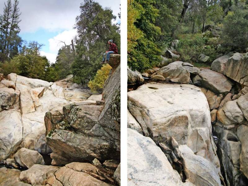
9. Green Valley Falls
Green Valley Falls lays within a campground which offers 74 campsites. The sites are located at an elevation of 4,000 feet where the Sweetwater River spills over boulders on its 55 mile trip southwest to San Diego Bay.
The river runs through the campground and produces a variety of cascades and shallow pools. I imagine the cold water would be great for cooling off on hot days. The hike itself was short but very scenic. After exploring the initial falls, we headed down stream where we were greeted with more pools and a competitor for Potato Chip Rock.
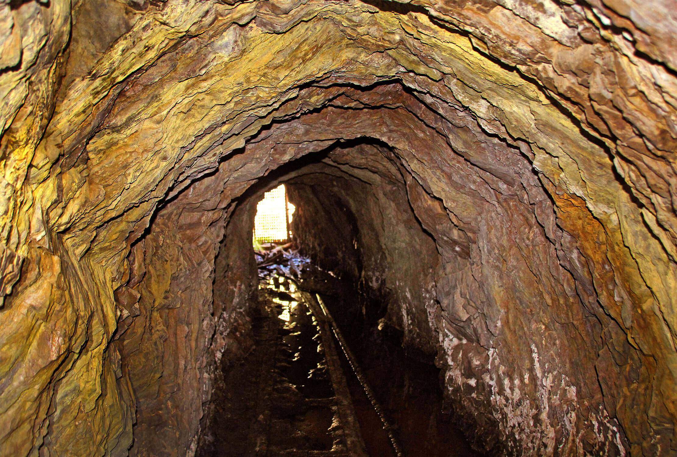
10. Mine 5
Mine 5 was started in 1874 and was jointly operated with the Redman and Ready Relief mines. Together they were one of the largest mining operations in the Julian district. This mine profited $200,000 during its years of operation.
The workings include a crosscutting adit which is 300 feet long, plus a 275 ft. shaft connecting to the surface. Due to this shaft the mine was always well vented. There is one drift that connects to the Ready Relief Mine. The vein is approximately 1 ft. wide, is about 200 feet below the surface
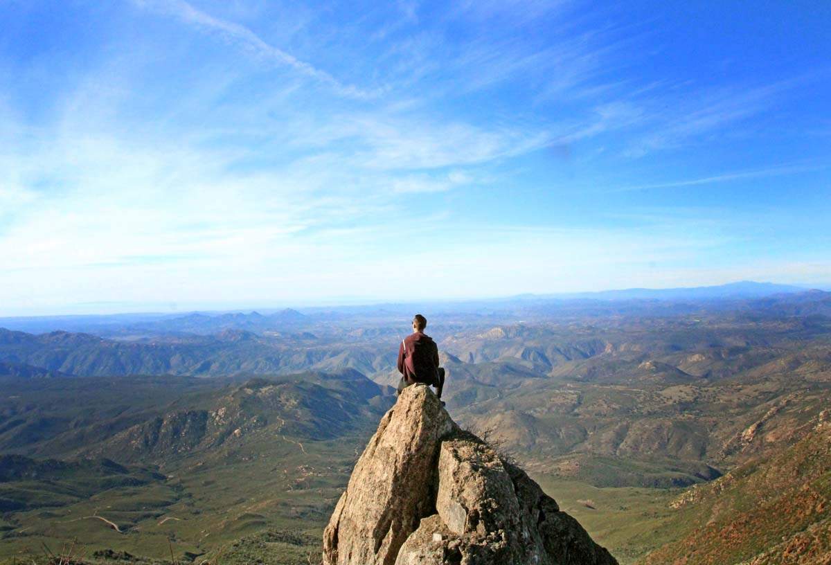
11. Foster Point
Located just off the Pacific Crest Trail lays an easy but breath-taking hike known as Foster Point! If you want to get a full-bodied Mt. Laguna experience without exploring all day, then this is the hike for you!
Within no time though you will be greeted with views that span across the Anza Borrego Desert and other peaks nearby such as Monument Peak. When you get to the end of the trail you will see a peak identifier installed by the Sierra Club.

12. Mine 3
Deep in the San Diego's back-country lays one of San Diego County's most productive and prolific mines. San Diego's mining history dates back to 1869, when Fred Coleman spotted gold in a creek bed. The subsequent gold rush boom and bust left a lasting mark and culture in the back country, where the mountains are literally laced with mines. Many have been abandoned, but there are still active claims being mined today.
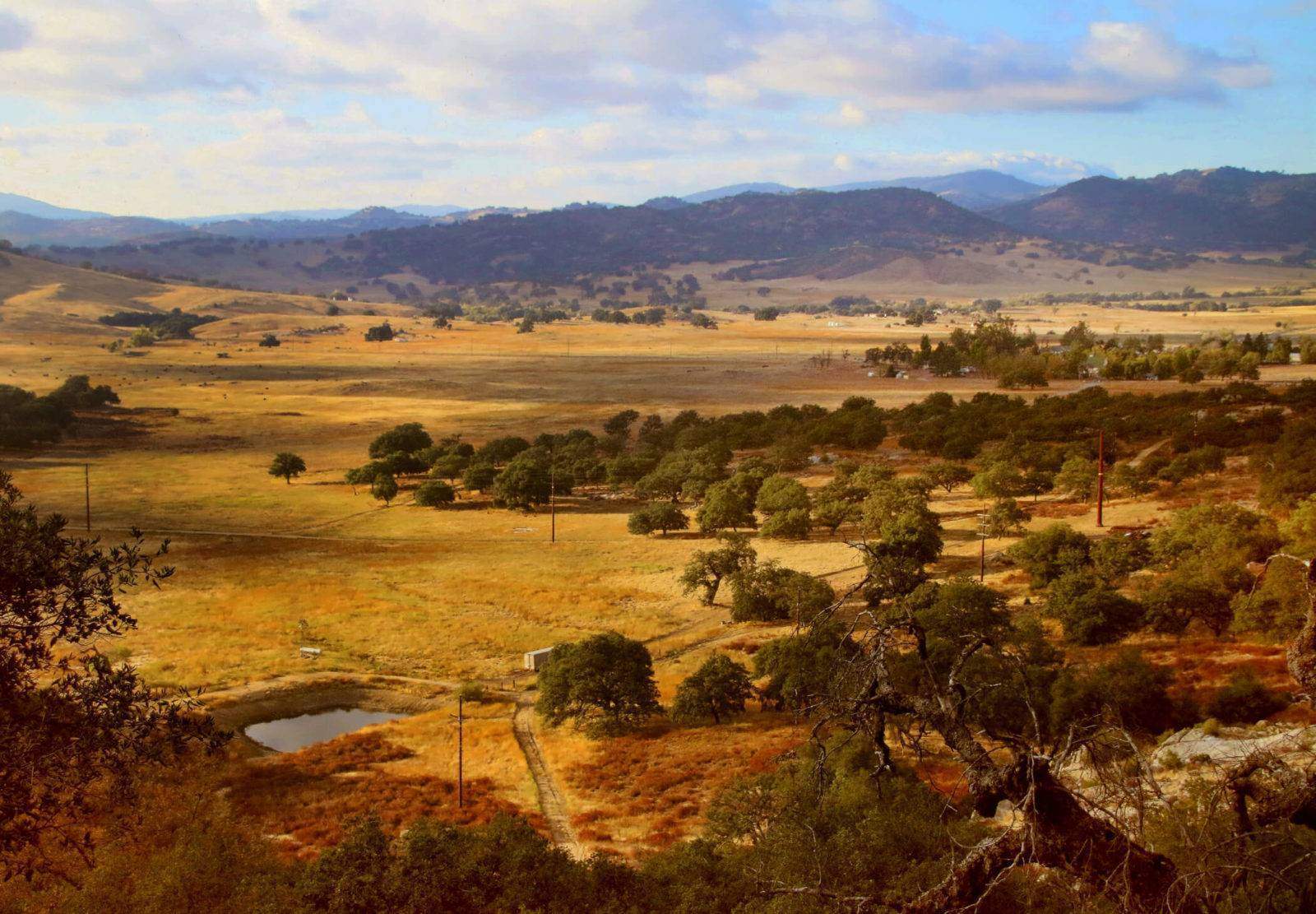
13. Santa Ysabel East Preserve
The Santa Ysabel Preserve is a combined 4,600 acre sanctuary which is presently divided into two preserves: East and West. There are many trails you can take on the Santa Ysabel East Preserve making this a place you can return to time and time again and continue having new adventures!
14. Iron Mountain
Iron mountain is located in Poway and is the second highest peak in this town. From the top you get beautiful panoramic views that can be seen all the way to the ocean on a clear day. Be aware that the trail has a lot of rocky patches which can be dangerous. Make sure you’re paying attention to your footing to avoid injury.
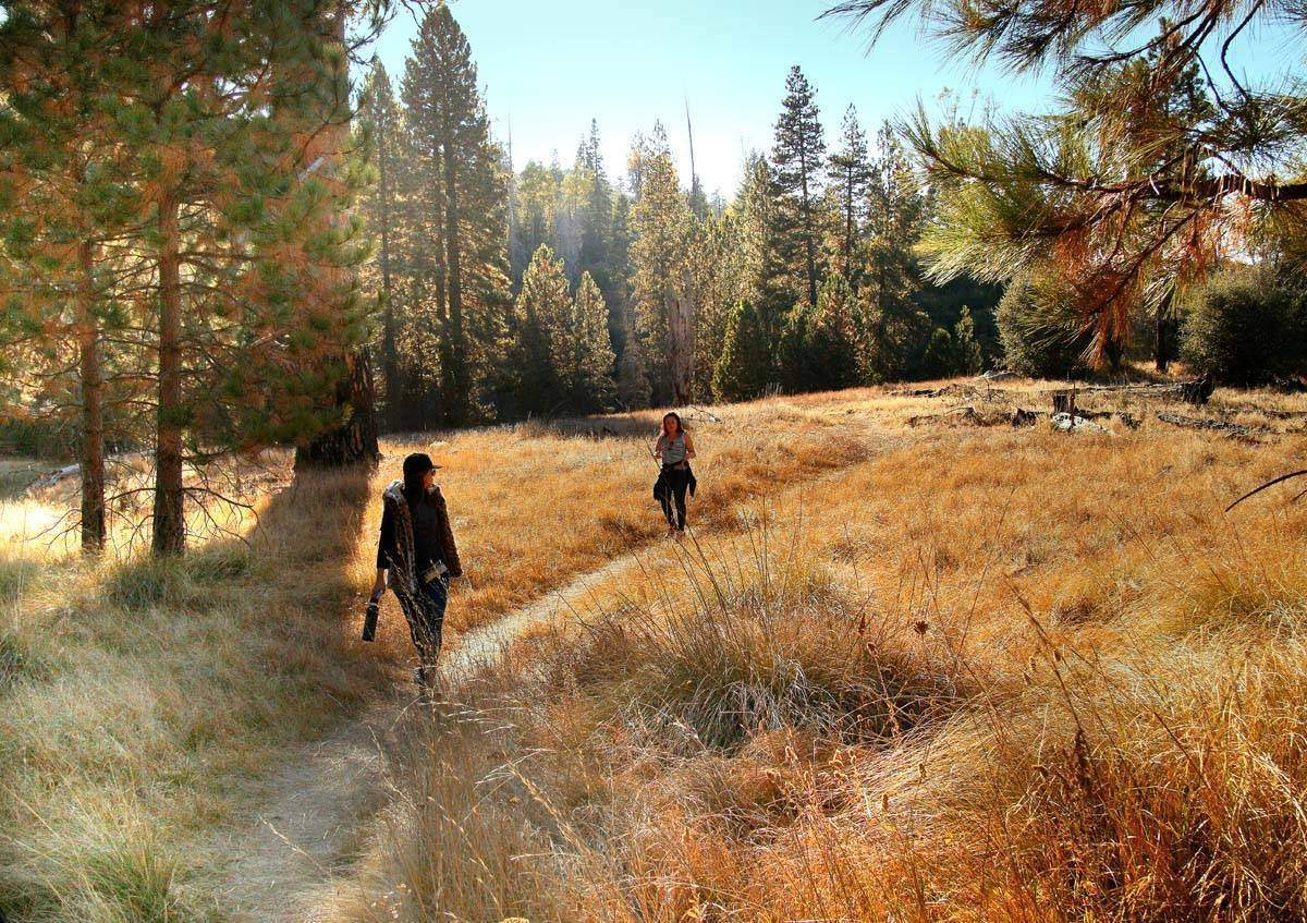
15. Sunset Trail to Laguna Meadows
The Sunset Trail in Mt. Laguna was such an unexpected surprise the first time I did this hike. I’ve done this hike at least half a dozen times. It’s just that beautiful that you want to return to it over and over again.
On this hike you will see sprawling meadows (either in hues of yellows, green or white depending on what time of the year you visit), several bodies of water (that occasionally dry up) and scenic views that span all the way to the ocean on a clear day. The hike is packed with variety and beauty, all in under an 8 mile loop.
These trails are frequented by mountain bikers and dogs are allowed on leash, which is always a bonus point for me as my little pup hates being left behind. I’m yet to do this hike after a good snowfall.
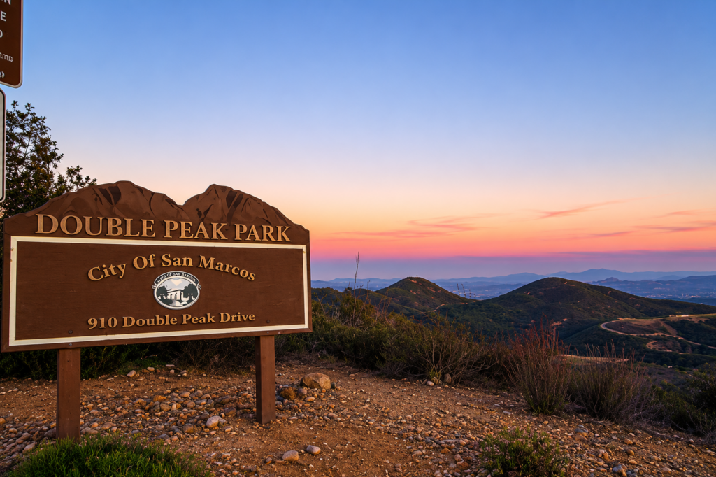
16. Double Peak Park
Double Peak Park is quite possibly the best panoramic view in San Diego. It is breath-taking! I can imagine you can capture killer sunsets here. I began doing one of the hikes but quickly realized it was not worth it because it was almost sunset and that is when the park closes. So if you want to hike AND experience the sunset, make it a day! Would be a lovely picnic spot.
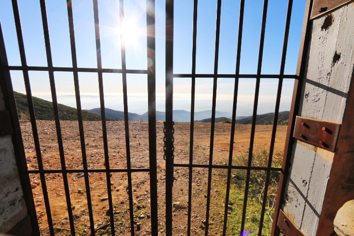
17. Spot 13
At an elevation of 6,000 feet, this spot offers one of the most stunning, if not the most stunning view in San Diego. This is an ideal spot to get away and clear your mind. There is a small .5 mile hike which features live oaks, black oaks and Jeffrey Pines. This short hike is actually part of the Pacific Crest Trail that actually was once an old roadbed that was chisled into the cliff. This was once a very narrow and dangerous drive with a steep drop directly below you.
18. Cuyamaca Peak
Cuyamaca Peak is the second highest peak in San Diego County (and only 20 feet lower than the highest peak, Hot Springs Mountain at the Los Coyotes Indian Reservation) at 6,512 ft. elevation. With a moderate climb up hill, be ready to be greeted with stunning views at the top! On a clear day you can see Mexico, the Coronado Islands, mountains in Arizona as well as views all the way to the San Bernardino Mountains!
19. Black Mountain Gliderport
Black Mountain Open Space Park is currently 2,352 acres and brimming with stunning views, hiking trails and even old, forgotten mines. The highlight of the trip is the 1,554 foot summit of Black Mountain which offers a 360 degree view of the surrounding area.
The gliderport has actually been around since 1920!! And Black Mountain is actually part of the Santiago Peak Volcanics which were a chain of volcanic islands formed 150 million years ago. Cowles mountain was also one of the islands.
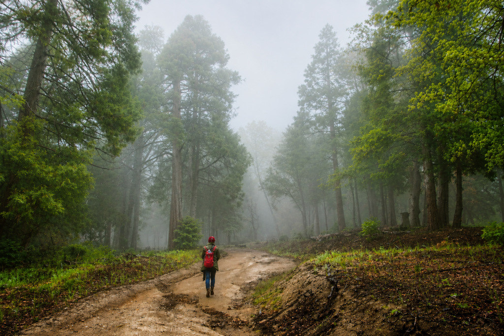
20. Palomar Observatory Trail
The Palomar Observatory trail has two trail heads. You can either start from the Palomar Observatory and hike down, or start from the campground and hike up. We chose to hike from the campground.
I’ve done this hike twice now. The first time, we did hiked the Observatory Trail in October when the leaves were beginning to change color. It is a beautiful hike that takes you up to the Palomar Observatory. Although this is not my favorite hike in Palomar, it is still worthwhile.
20. The Weir Trail
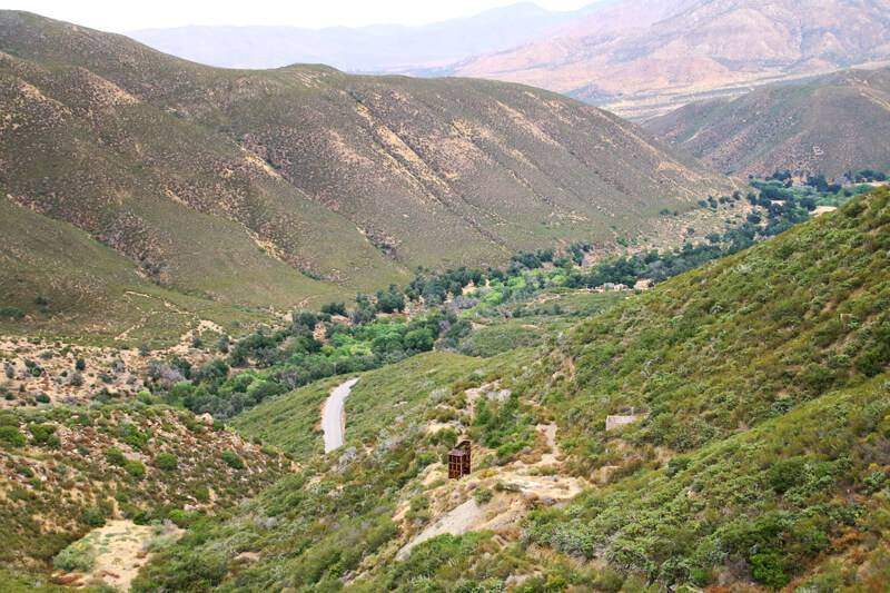
The Weir Trail is a three-mile trail that starts at the Doane Pond parking lot at the same trailhead as Doane Valley nature trail. The trail is fairly level, with only a 100 ft elevation gain/loss and follows along Doane creek underneath forest growth before it opens out into views of the lower Doane meadow and continues to the Weir historic site.
21. Hot Springs Mountain
22. Cowles Mountain
Cowles Mountain has a Kumeyaay Winter Solstice observatory site, located along the trail. From the eastern horizon, at dawn on the days surrounding the solstice, a peak splits the rising sun. The original stone arrangement pointing to the peak was destroyed many years ago.
The mountain is named after George A. Cowles, a 1870s-80s rancher and early businessperson in southwestern San Diego County. For many years Cowles Mountain was locally known as “S” Mountain. In 1931, 500 students from San Diego State University, painted a 400-foot-tall letter “S” on the side of the mountain, after which it took on its popular name.
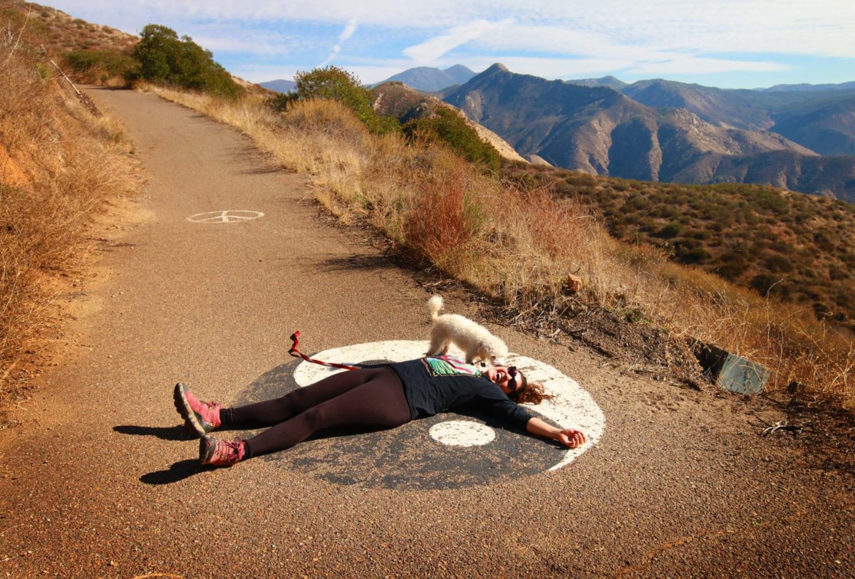
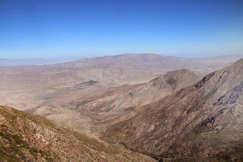
23. Monument Peak
Monument Peak sits along the edge of the Laguna Mountains, with the gorgeous views of the Anza-Borrego desert lying below. There are multiple ways of getting here, but took that trailhead that starts at the Desert View Picnic Site. There will be signs stating so.
From what I was seeing online, Monument Peak is one of four sites that has NASA’s space geodetic techniques. Those included are the MOBLAS-4 SLR system, which has occupied this site since 1981, and a GNSS antenna. Monument Peak also hosts an EarthScope seismic station.
Monument Peak is also on the Hundred Peaks list of the Sierra Club.
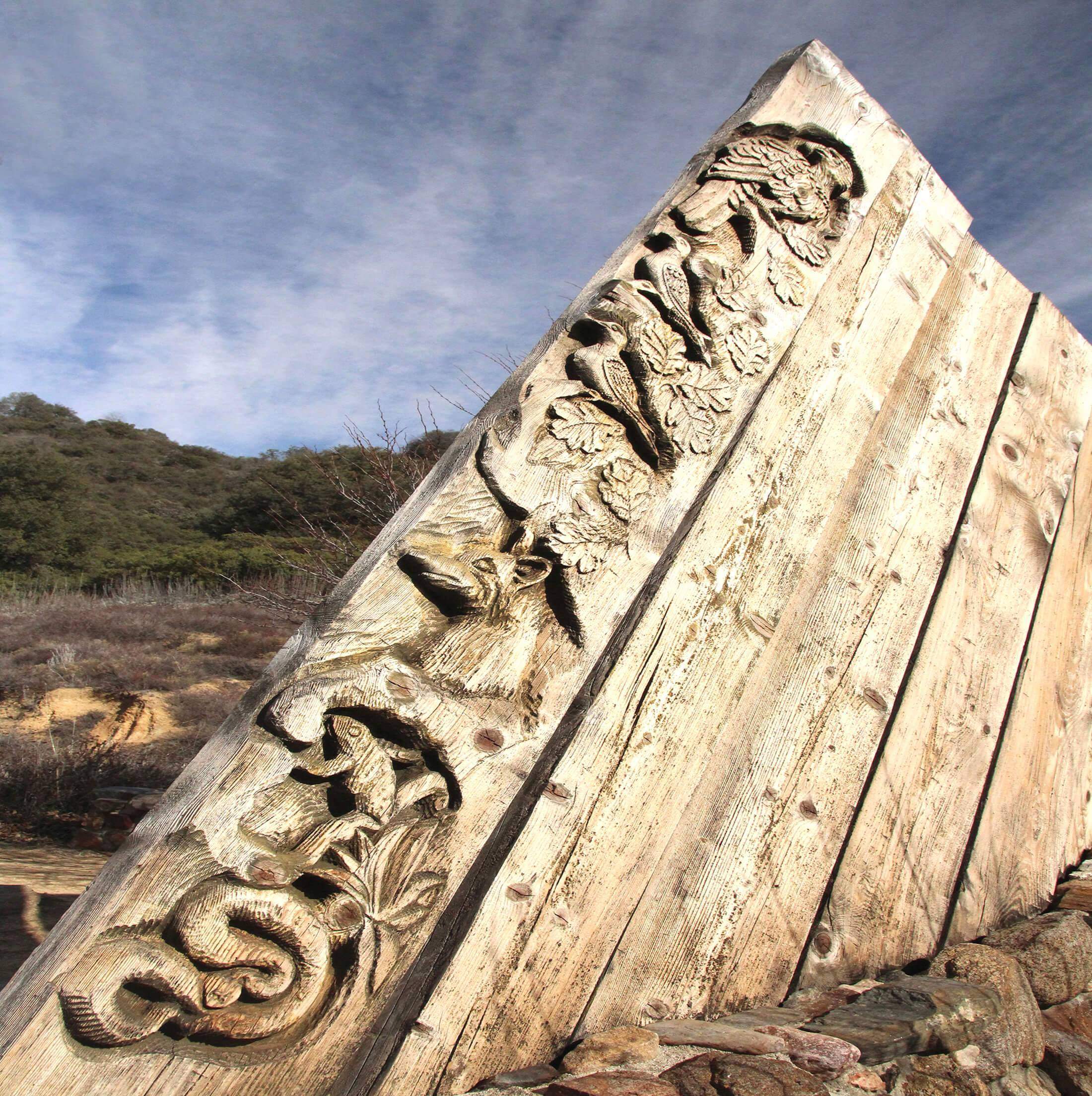
24. Inaja Memorial Park
Inaja Memorial Park is a beautiful lookout point and picnic area in Santa Ysabel. We love stopping by here on our way back down the hill from Julian, oftentimes to appreciate the sunset. There is a nice loop trail you can take giving you beautiful scenic views.
This site memorializes 11 firefighters who lost their lives in the 1956 Inaja Fire which consumed 60,000 acres. The 3440 elevation offers an excellent variety of scenery with clear views down to the San Diego River canyon and scenic vistas of the Palomar and Volcan Mountains.