
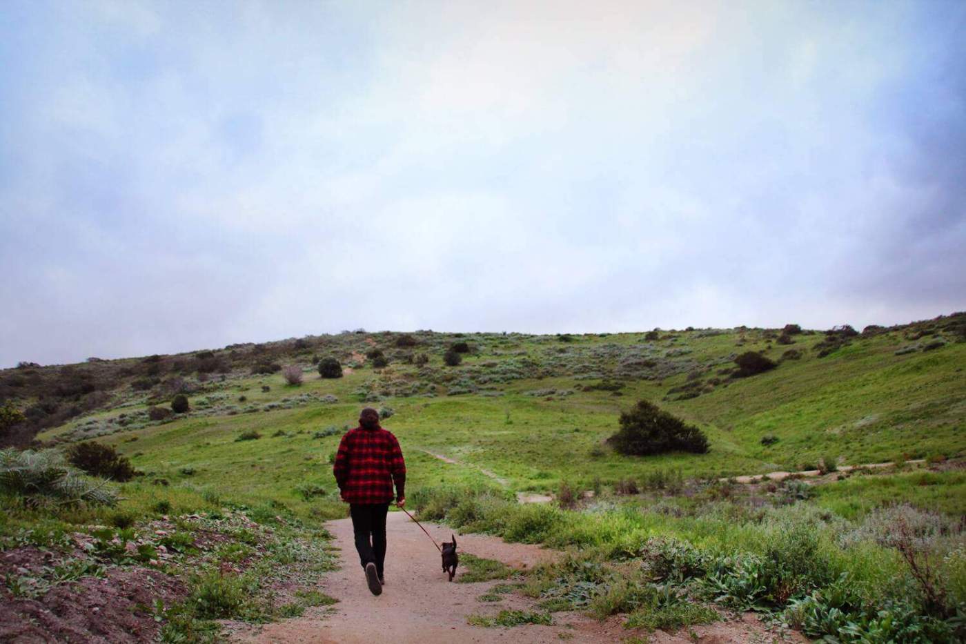
50 Unique Dog Friendly Hikes in San Diego
San Diego County is filled with amazing hiking trails. For those of us that have a 4-legged friend we love to include, finding dog-friendly hikes is very important. There is nothing more defeating than driving to a hiking destination only to see a 'no dogs' sign. I've definitely had this happen to me before! To make it easier on you, I've compiled a list of my 50 Unique Dog Friendly Hikes in San Diego. These range from super easy to moderately challenging. Check it out!
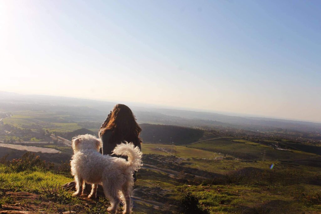
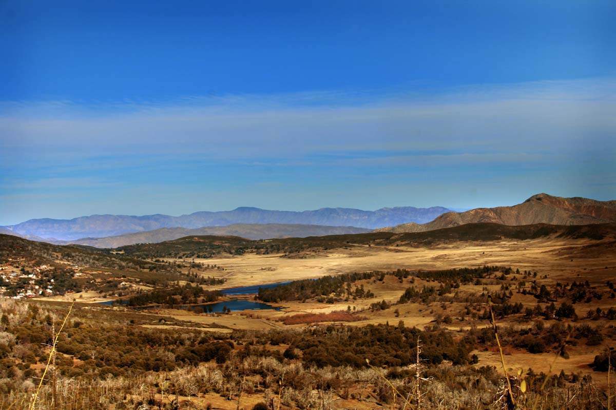
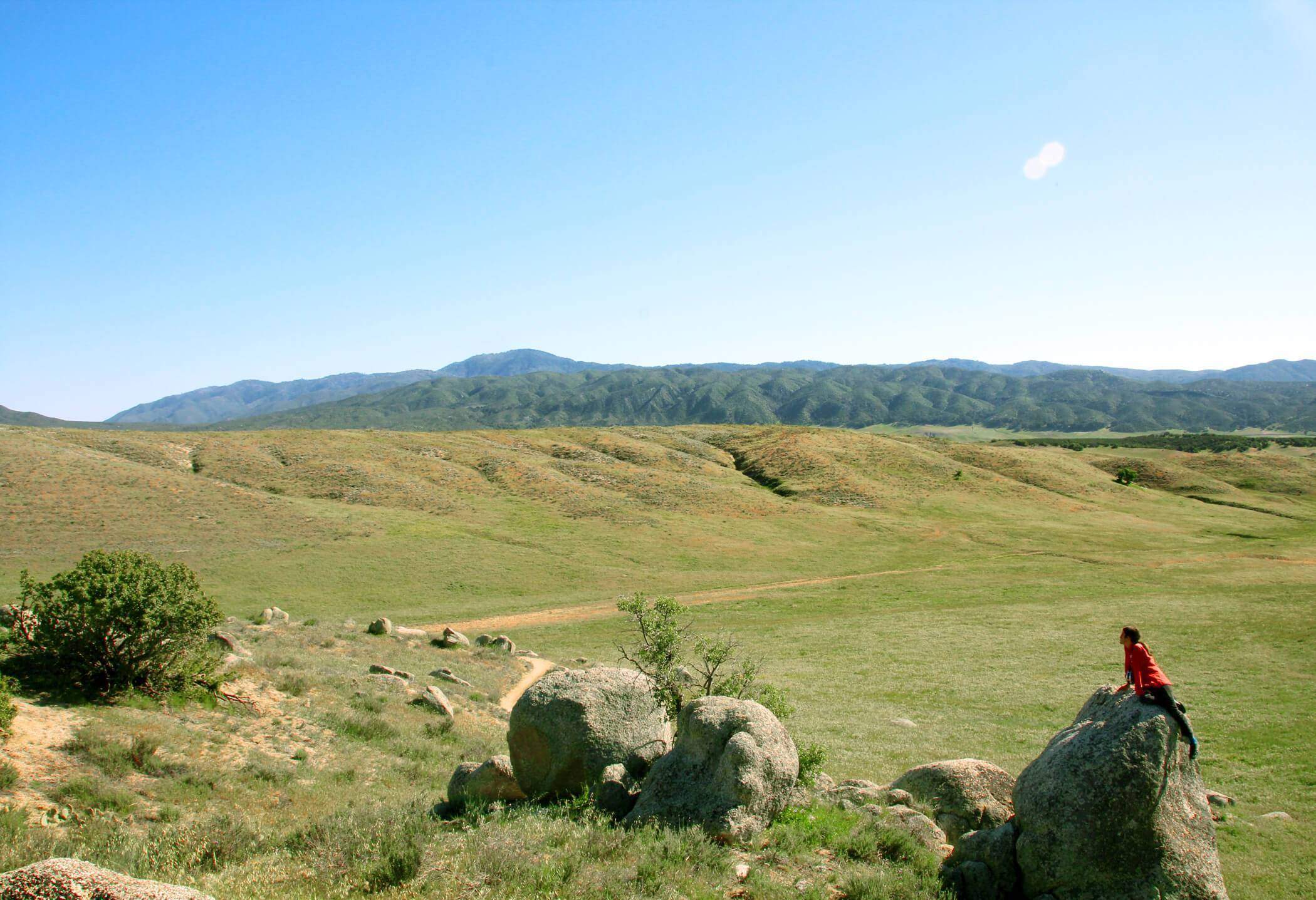
Battle Mountain
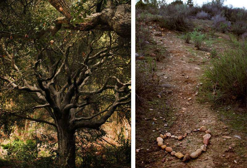
Battle Mountain got its name from the Battle of San Pasqual that took place in 1846 at an area nearby called Mule Hill. In 1966, a group of local churchgoers put the cross on the mountain. In the 80's the cross fell down and was replaced by a man named Jack Templeton who built it in his backyard. He lived below the trailhead and would frequent the hill regularly. The cross was actually funded by a Jack in the Box nearby. This hike has a great view, it’s a quick (but strenuous) hike to the top and is very quiet and isolated.
Black Mountain Gliderport
Black Mountain Open Space Park is currently 2,352 acres and brimming with stunning views, hiking trails and even old, forgotten mines. The highlight of the trip is the 1,554 foot summit of Black Mountain which offers a 360 degree view of the surrounding area.
The gliderport has actually been around since 1920!! And Black Mountain is actually part of the Santiago Peak Volcanics which were a chain of volcanic islands formed 150 million years ago. Cowles mountain was also one of the islands.
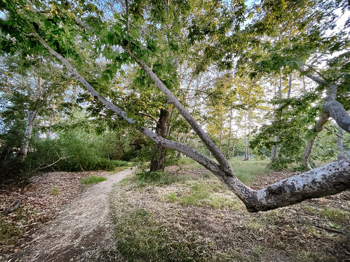
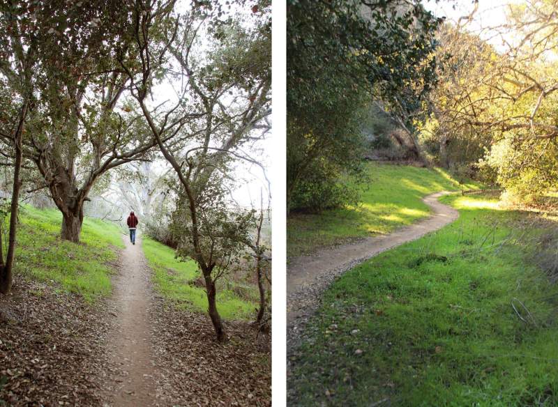
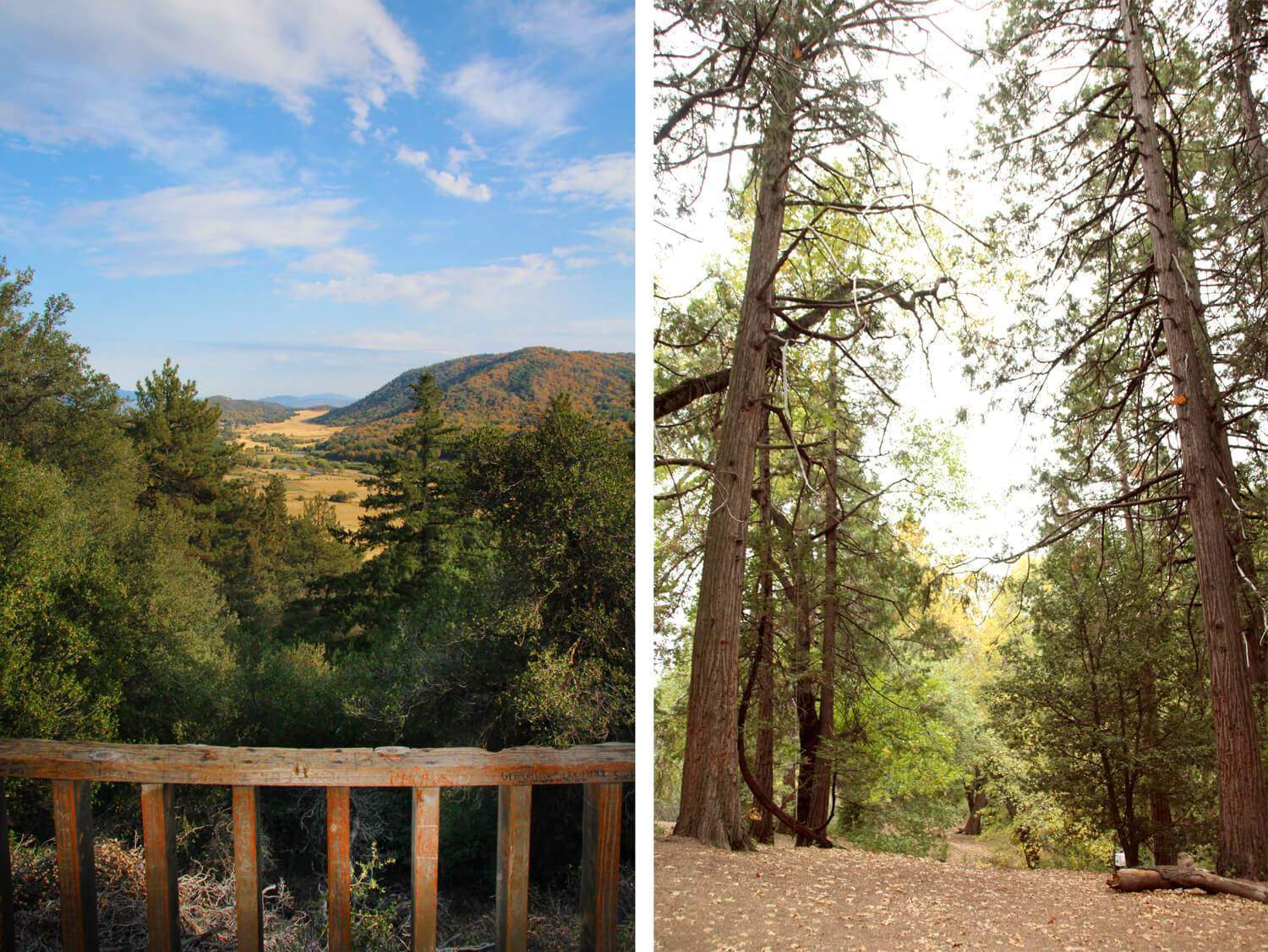
Buena Vista Park
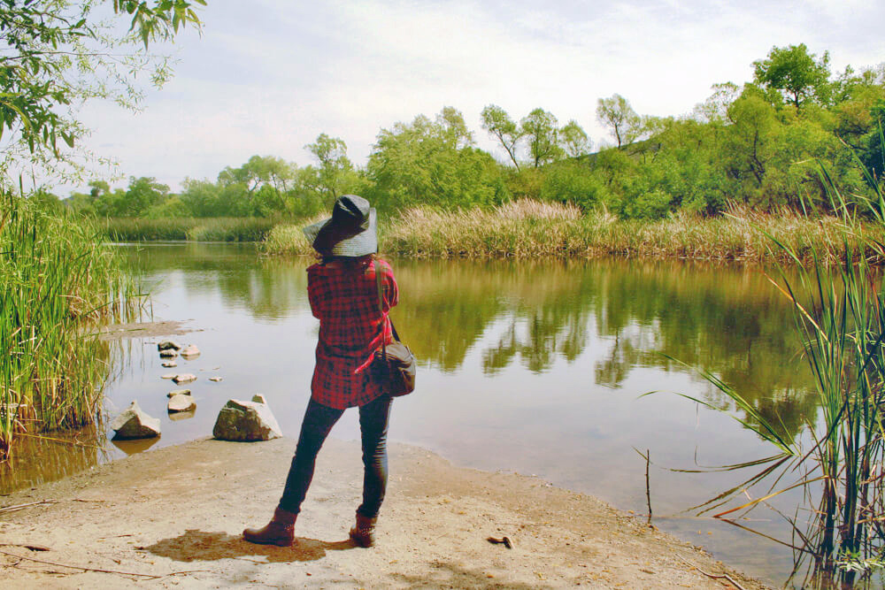
Much of the hike is shaded (huge bonus), making this a hike you can do all year long and stay much cooler than you would otherwise! The trail will snake you along the Agua Hedionda Creek and oak groves. We found two secret swings hanging over the creek. See if you can find them! I will definitely return here one day and hike further. So much to uncover!
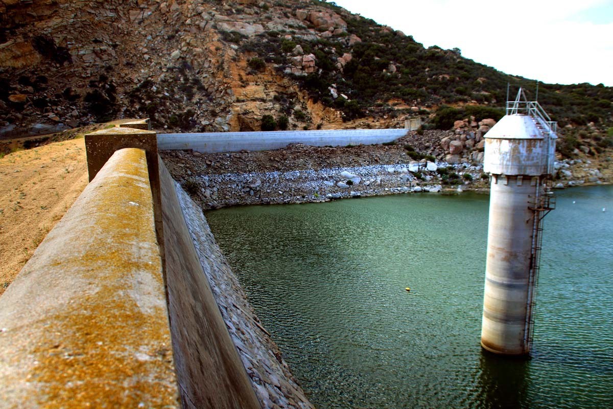
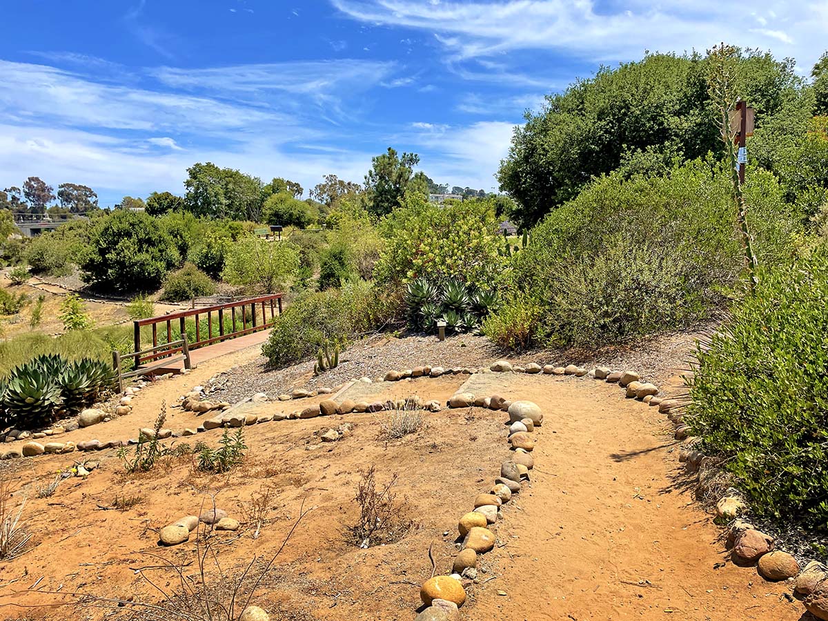
Calavera Lake, Volcano & Labyrinth
I bet this may come as a surprise to many, but San Diego has it's own volcano that was active 15 million years ago! But that is not all. The Calavera Lake area also boasts a lake and dam dating back to the World War II era, multiple stone labyrinths and even a cave!
Calavera Lake, meaning 'skull' in Spanish, offers 110 acres and over 4 miles of hiking and bike trails in Carlsbad. The reservoir is 400 acres and managed by the Carlsbad Municipal Water District. The entire area is habitat to an identified 115 plant, 49 bird, 10 mammal and 7 amphibian/reptile species.
Crestridge Ecological Preserve
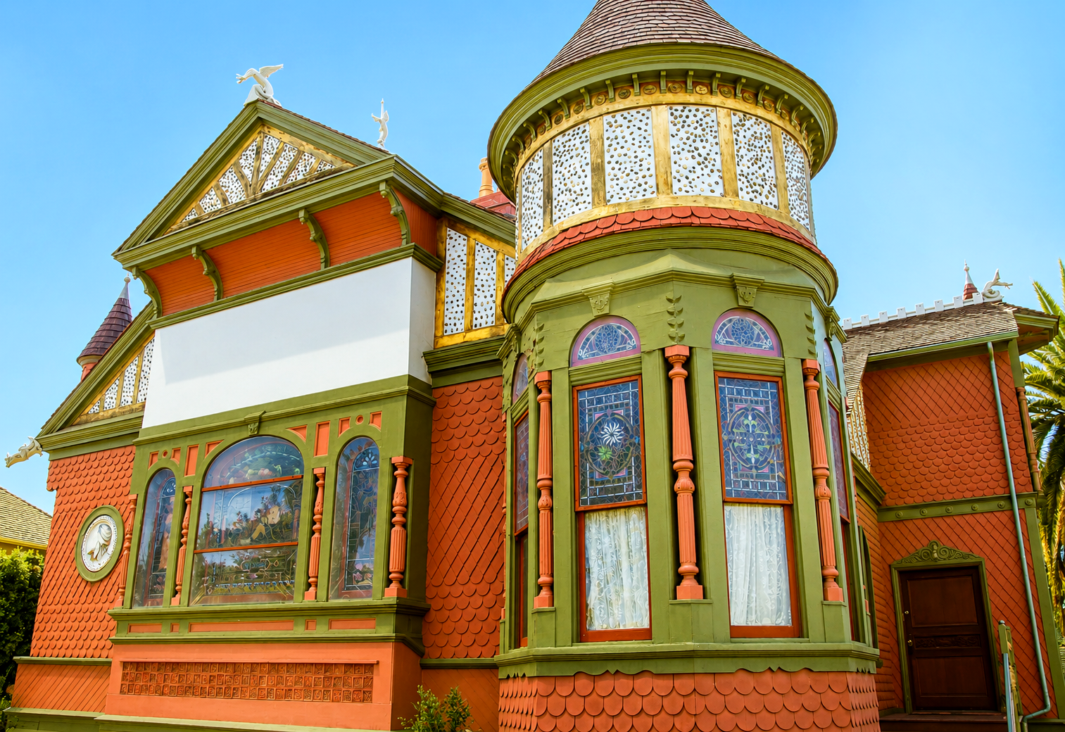
Crestridge Ecological Reserve contains 2600 acres of riding trails, unique architecture by the famed James Hubbell, ancient history dating back thousands of years and many fun, tiny details scattered throughout. Keep your eyes peeled!
This preserve was once a Kumeyaay village, containing three prehistoric archaeological sites. In 1845, Pio Pico, the Mexican governor of California, granted 48,800 acres to Maria Antonia Estudillo de Pedrorena. It was the third-largest land grant in San Diego County.

Cuyamaca State Park
Park amenities include trails for hiking, horseback riding, and mountain biking, as well as campgrounds for family, group, equestrian, and primitive trail camping; as well as an exhibit at a former gold mine, the Stonewall Mine. This area is one of San Diego's great dog friendly hikes!
Cuyamaca Peak
Cuyamaca Peak is the second highest peak in San Diego County (and only 20 feet lower than the highest peak, Hot Springs Mountain at the Los Coyotes Indian Reservation) at 6,512 ft. elevation. With a moderate climb up hill, be ready to be greeted with stunning views at the top! On a clear day you can see Mexico, the Coronado Islands, mountains in Arizona as well as views all the way to the San Bernardino Mountains!
Since Cuyamaca Peak is one of the dog-friendly hikes in Cuyamaca, the trail is paved. The no-dog hikes in Cuyamaca are mostly are dirt trails. The trailhead begins at the day-use parking lot, past campsite #69.
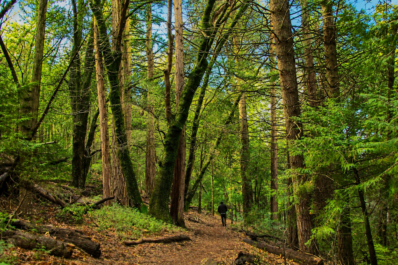
Daley Ranch
The property where Daley Ranch sits has been in use for thousands of years, once providing food and refuge for Kumeyaay tribes. There are plenty of remnants left behind of their existence such as metates and motars and soot-stained caves which were most likely once used as shelter from poor weather conditions.
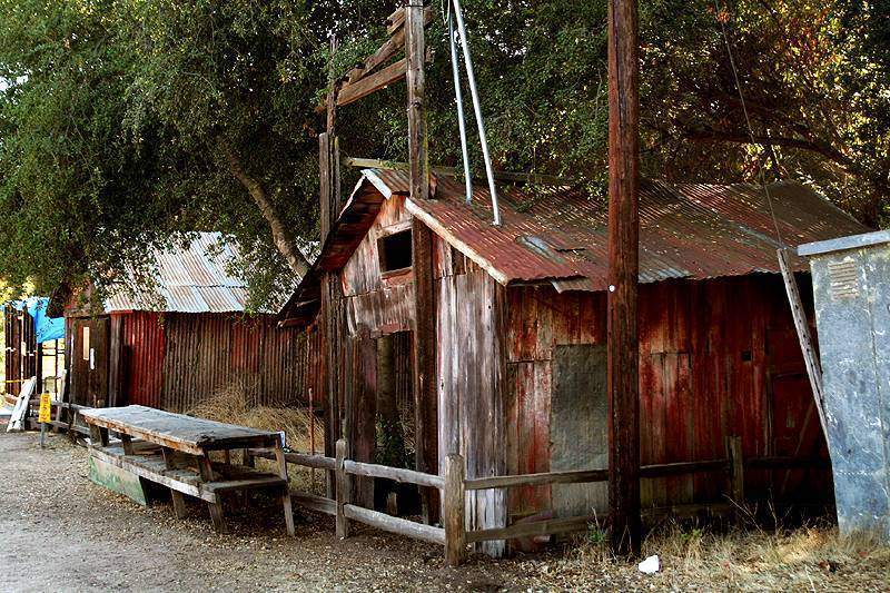
Robert Daley was the first settler on this land, arriving in 1869. He built a small log cabin which still remains to this day near the bottom of one of the ranch's ponds. I am usually not big on these types of hikes at all unless there is a very specific destination that I'm heading to. In this case, it was the Daley historical ranch houses. Don't go in the summer, instead opt for autumn thru early spring. It gets HOT out there otherwise!
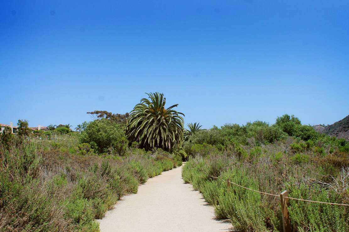
Del Mar Mesa Duck Pond
I actually have a huge spreadsheet of places I need to visit and many get put on the back-burner for years. The Del Mar Mesa Duck Pond was one of them. I had this spot marked to visit for many years before actually making the trek out to it. When I originally saved the coordinates, there was not much in the immediate vicinity of it. Much to my surprise (or maybe it shouldn't be that surprising at all) there is now an entire neighborhood and park built at the top of the trailhead.
Thankfully, this sweet little pond has been spared and it sits as a reminder of what this area once looked like all around. The pond even appears to have been a big selling point for the homes above as the neighborhood is named "Duck Pond Ranch" and the streets "Duck Pond Trail" and "Duck Pond Lane".
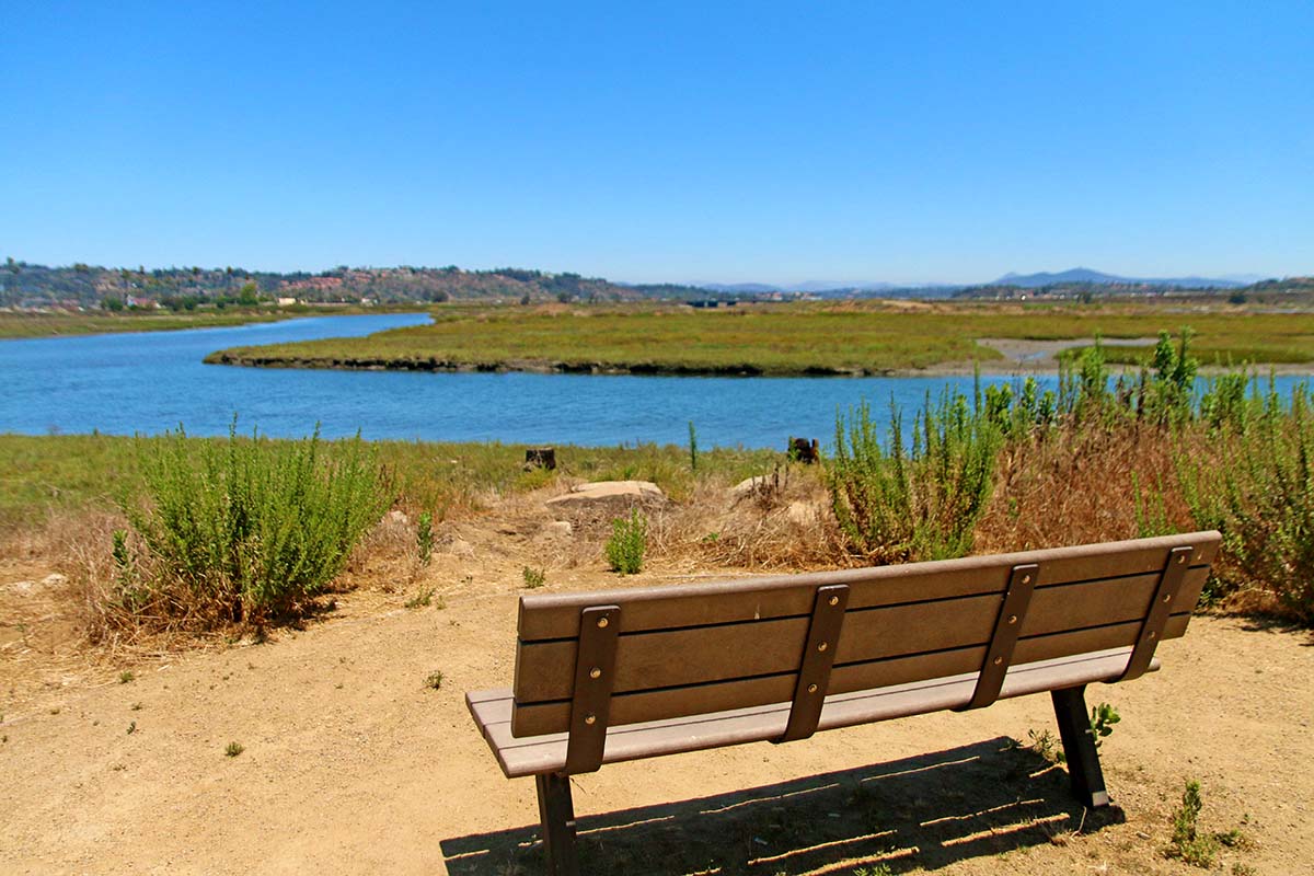
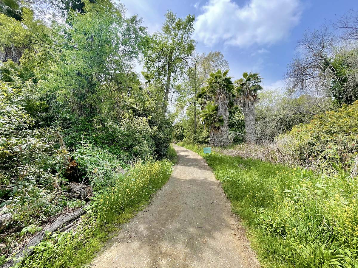
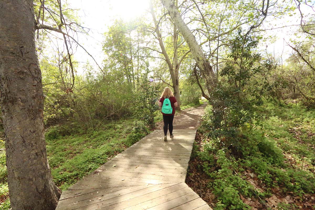
River Path Del Mar Phase II
The River Path Del Mar Phase 2 is actually part of a much larger project. Eventually, this will be part of a 70 mile trail system that connects Del Mar all the way to Volcan Mountain in Julian known as the Coast to Crest trail. There are already many trails you can take throughout it to get an idea of what it's like.
The River path has trails that go in both directions of the parking lot, each being about a quarter mile hike. The trail heading east will lead you to a beautiful lookout of the San Dieguito lagoon. The trail heading east will lead you to a small watering hole with a bridge that connects to Del Mar Dog Beach.
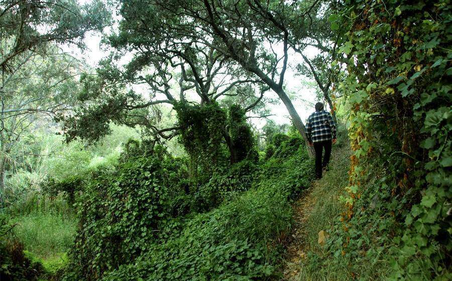
Dinwiddie Preserve
This trail is right across from one of the oldest homes in Fallbrook, the Palomares House. Make sure to check it out if you head out here. We explored this area in summer. Despite it being one of the driest times of the year, this area still thrived with greenery, magic and beauty. Although a small hike, it is packed with beauty.
This is a rather brief hike, with no incline. I would love to see it on a foggy morning. It seemed like the perfect setting to see wild horses running freely, if only that were possible here in San Diego!
TIP: If you're enjoying this post, make sure to check out our list of the Top Scenic Views in San Diego next!
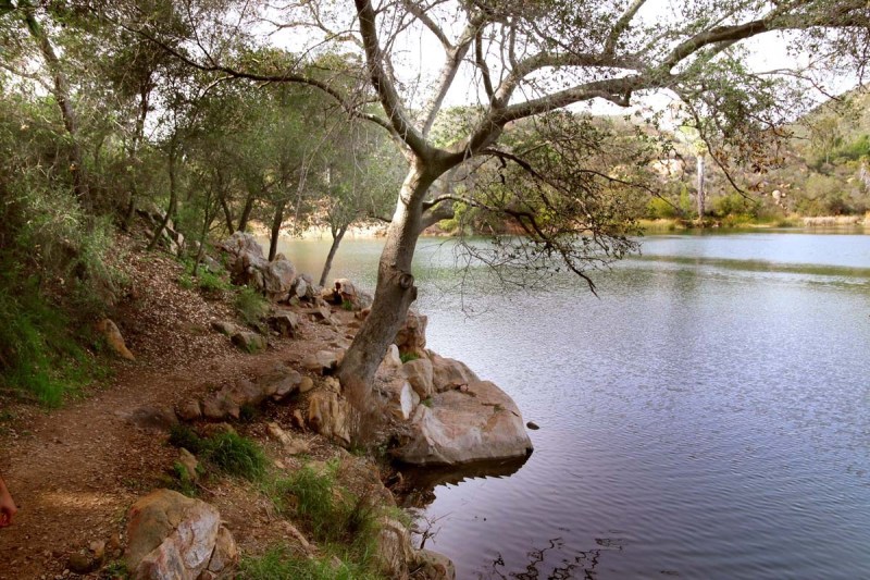
Dixon Lake
Out of all the lakes that I have visited in San Diego, this is definitely one of my favorites. Why? Because it isn't "perfect" and the trails are not manicured. It feels as though they worked with nature instead of plowing it down. It is a decent-sized lake with boat rentals, bbq/party spots, camping grounds and plenty of great fishing locations. This is right next to Daley Ranch, so if you're in an adventurous mood and it's not too hot, you should hit that spot up too.
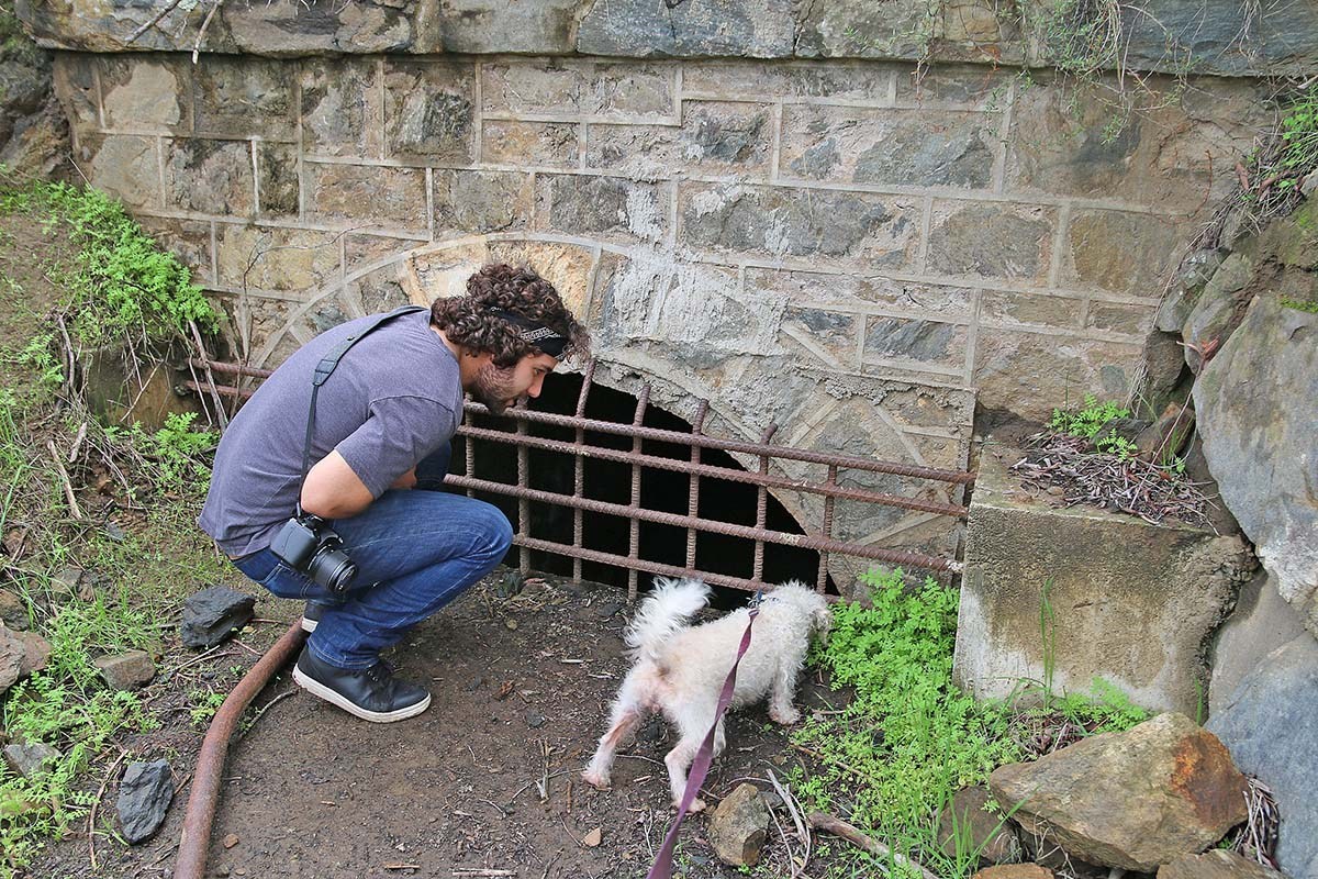
Batiquitos Lagoon
This is a great place for a leisure walk. It is incredibly dog and kid-friendly. The nature center offers an educational insight into the lagoon with plant and animal information. Make sure to pick up a pamphlet at the center to help you identify different plants on your walk! We found a tunnel for those of you into that thing. It seems to go pretty far. Please comment if you know where it ends up!
Dos Picos Park
Dos Picos Park, translated to “Two Peaks” got its name from two distinct peaks nearby. The park, located in Ramona, is home to a beautiful oak grove, some of the trees being over 300 years old! There is a campground here as well as two cabins so you can extend your daytrip overnight!
There is a nice loop trail you can take that will wind you uphill with beautiful views of the valley below and then drop you back down into the oak grove. I’ve visited this park a couple times now and have always found it very enjoyable.
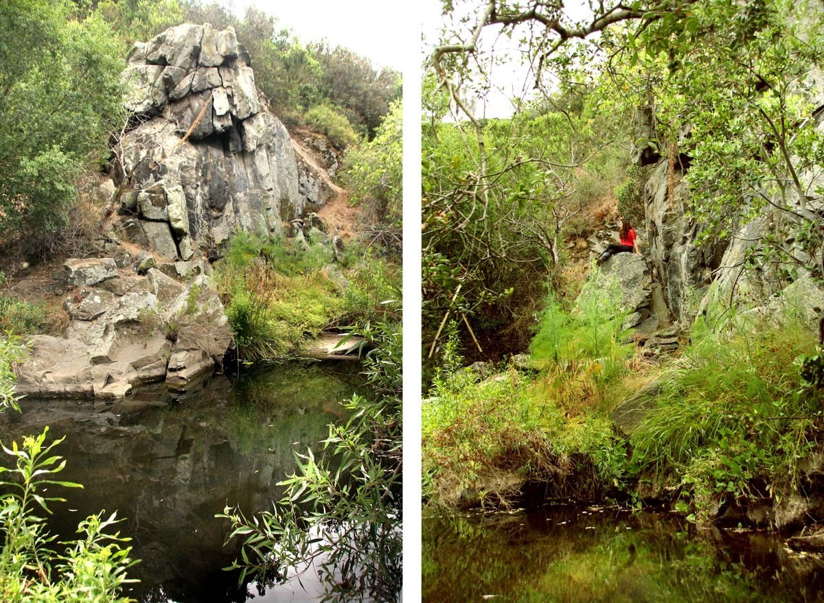
Eagle Rock Trail
We did this hike in late March which is most likely the ideal time to do any hike. The weather is cool and the wildflowers are beginning to show. Although I have not been out here in summer I can pretty much promise there will be no green grass nor flowers during that time of the year. The hike starts off a little bland but becomes progressively more beautiful as you reach your destination. Where the Eagle Rock lays is absolutely stunning and looks like a scene out of a movie!
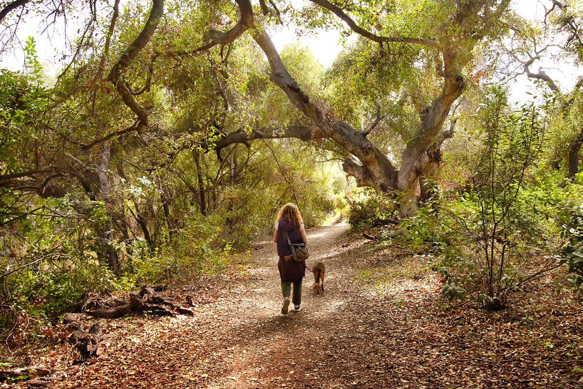
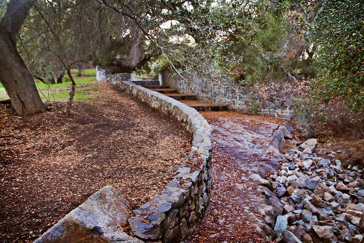
Historic Flume Trail
The Historic Flume Trail is actually a small part of a 37 mile system that was built in the late 1800's to transport water from Lake Cuyamaca to the El Cajon Valley. We've covered another section of the flume on this page. You can read the entire backstory of how the flume came to be on that page.
We did this hike in winter when the weather was mild and the hillsides were lush and green. The views of El Monte Preserve and mountainscapes was breath-taking. It was so much fun finding the little tunnels! They looked like troll homes to me.
Elfin Forest
Elfin Forest, which neighbors Questhaven and Harmony Grove, is not only great for hiking but also for delving deeper into the mysteries that surround this area. Like its popular neighboring communities, the Elfin Forest is rumored to be extremely haunted with hundreds if not thousands of stories and sightings to back up this claim.
Felicita Park
Felicita Park is the site of one of the largest and oldest Indigenous villages in the county. To this day, grinding holes and other artifacts reveal evidence of the centuries-old community of the Northern Kumeyaay.
Felicita Park has always been one of my favorite parks. Perhaps because it is not your traditional park (in my opinion). There are is much grounds to wander around and just get lost in. It’s always had a bit of a magical feel to it. The Renaissance Faire is held here. I will attend it in the future and then make a post on that. A Ship in the Woods used to have their residency as well which was the coolest thing ever!
Florida Canyon
Florida canyon is a well-preserved canyon and is actually an extension of Balboa Park. Just like Golden Hill Park and the Marston Canyon, many people never venture out to visit these spots.
For those drawn to more colorful beauty, keep your eyes peeled! There is a secret tunnel with graffiti and on the northeast end, many non-native plants have been planted. It is like a small, tropical oasis!
I visited in late winter when all the flowers were beginning to bloom so we had an enjoyable and colorful experience. There are a ton of trails, great for biking with slight endurance. You’ll probably have to cross several streets to continue on your hike so be safe! There are many entrances, we happened to enter from Upas street.
Guajome Lake
Guajome Lake is a 12-acre lake within the San Luis Rey Watershed and is part of Guajome Regional Park. The lake is surrounded by marsh and a variety of plant species. Over 180 bird species have been spotted here including the endangered California Least Tern and the Light Footed Clapper Rail.
Camping is available here as well as day use such as hiking, fishing, picnicking or enjoying the playgrounds and basketball court. The hiking trails are beautiful and shaded. We explored in the springtime when it was probably at its peak of lush beauty. We had a great time!
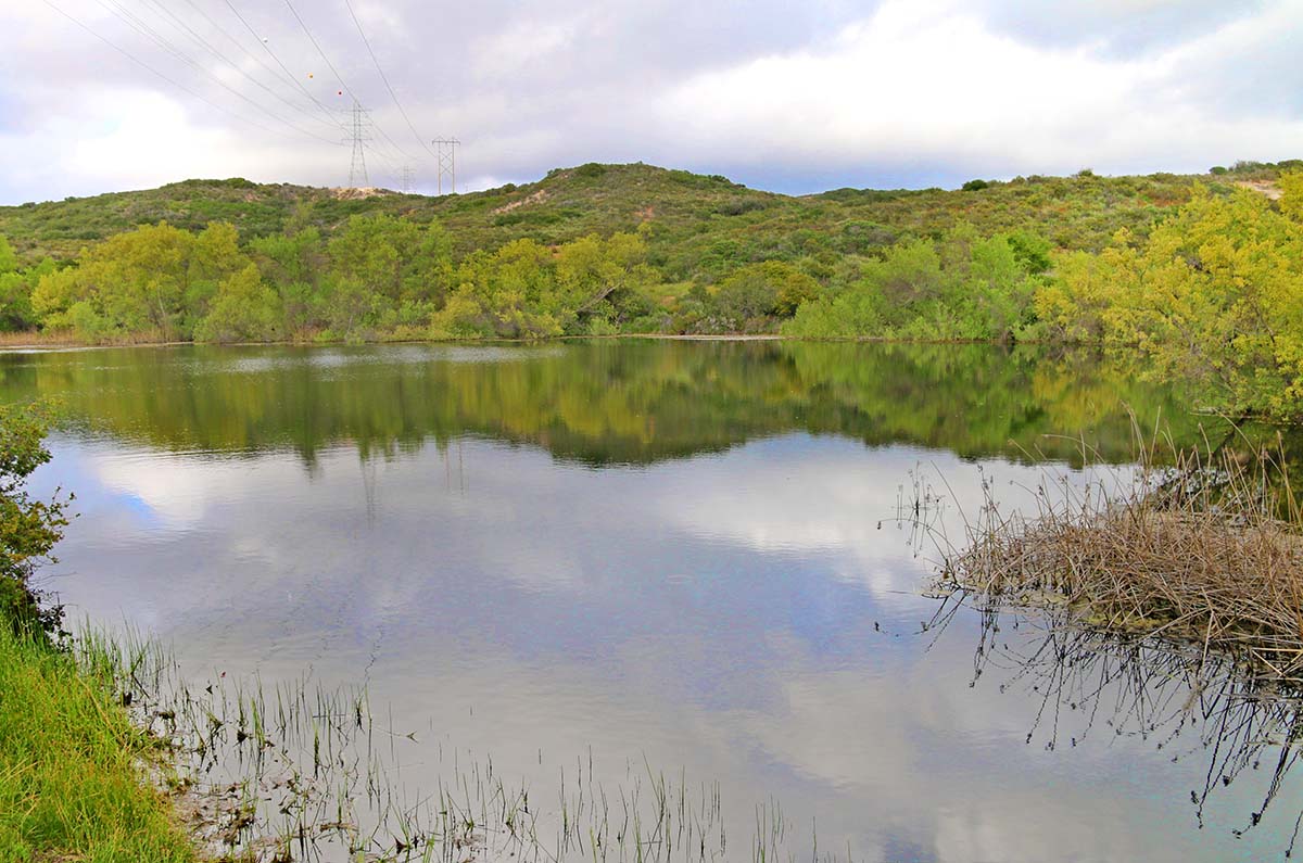
Hendrix Pond
Hendrix Pond is a decent-sized pond that is tucked away from any main streets and I doubt too many people besides the neighbors nearby know of it. I can't say I know too much about this pond, but here is what I do know: the pond dates back to the E.W. Scripps period and was located 1/4 mile from the Scripps Castle.
This pond would most likely be a disappointment to many, mainly because it is surrounded by homes, but we found joy in circling around it with our pup. We came across some kids fishing who caught a ton of these tiny fish. This is a good spot for families and dog-friendly hikes. It's especially for those who don't want to be around a bunch of people. It was very empty when we explored it. The hike to it is really pretty too.
Hoyt Park
I cannot gather much information about Hoyt Park and it's history unfortunately. I was told that the town set this open space aside for the public after much development was done in the area. We explored in early February after some nice rainfall. This is a pretty, little forest and if you go in winter-late spring, there should be nice greenery. This is a nice hike for families and dog walks. Nothing crazy about it, just a leisurely walk.
Hot Springs Mountain
Hot Springs Mountain is the highest peak in San Diego with an elevation of 6,533 feet, which makes it 23 feet higher than Cuyamaca Peak. Hot Springs Mtn. is located in the Los Coyotes Indian Reservation, band of the Cahuilla and Cupeño Indians.
The trail to this peak has been opened to the public for a few years now, largely as an incentive to help gain revenue for the tribe. The fee was $10/per person the day we went. The fee helps maintain conservation of the land and adequate living for the tribes people. Camping is also available here, which happens to be where the trailhead for the hike is.
Questhaven Rd.
Questhaven Rd., which is neighbors to the Elfin Forest and Harmony Grove, is filled with haunted rumors. Whether or not there is any truth to these rumors will remain a mystery. What is undeniable about this place is the spooky feeling that it gives you when you drive on the windy, woodsy road.
Much of what used to be known as Questhaven is now known as the San Elijo Hills suburbs. Tons and tons of wooded acres were cut down to replace homes. Although this area is definitely scariest at night, I also recommend checking out the area during the day too because the surrounding area is actually filled with interesting spots to explore. Questhaven Rd. has now partially been turned into a hiking trail which will give you the opportunity to get an intimate experience with the land in the day.

TIP: If you want to explore outside of San Diego, make sure to check out our list of Hidden Gems in Orange County!
Inaja Memorial Park
Inaja Memorial Park is a beautiful lookout point and picnic area in Santa Ysabel. We love stopping by here on our way back down the hill from Julian, oftentimes to appreciate the sunset. There is a nice loop trail you can take giving you beautiful scenic views.
This site memorializes 11 firefighters who lost their lives in the 1956 Inaja Fire which consumed 60,000 acres. The 3440 elevation offers an excellent variety of scenery with clear views down to the San Diego River canyon and scenic vistas of the Palomar and Volcan Mountains.
Jack's Pond Nature Center
This is a nice family spot or place to walk your dog. Enjoy 23 acres of woodsy hiking trails and a pond which, at the time we visited, was looking quite sad. We need rain! The pond is home to bluegill, catfish, large-mouth bass and crappie fish.
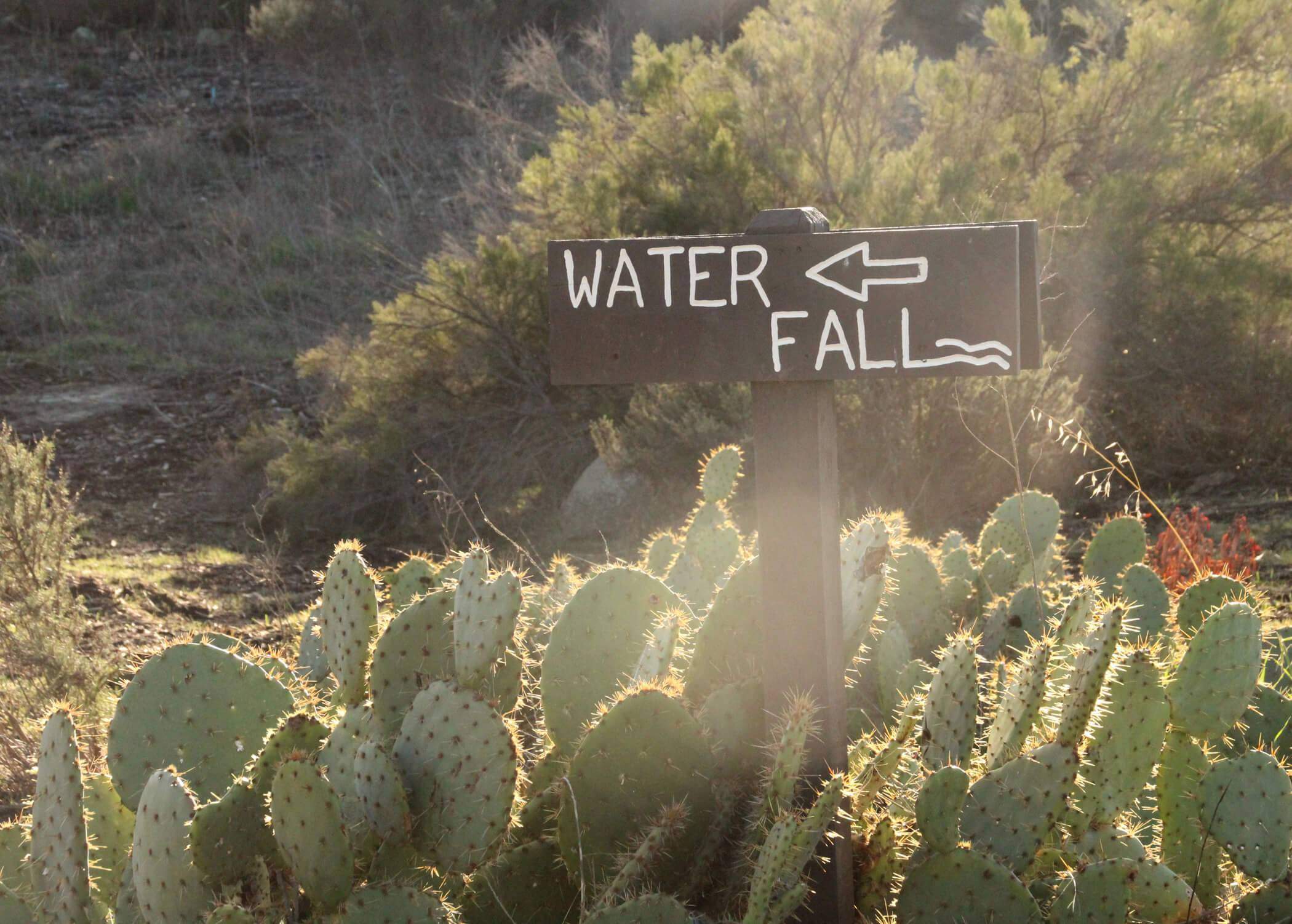
Kitchen Creek Falls
Kitchen Creek Falls is one of San Diego’s seasonal waterfalls, which is similar in size and characteristics to the Rancho Penasquitos Waterfall. The hike has a gradual climb that leads you into the back-country with beautiful, scenic views.
This hike takes you along part of the Pacific Crest Trail. Several of our hikes on this site covers parts of the PCT such as Eagle Rock and Kwaaymii Point. This hike is best done during cool weather and after we’ve received a decent amount of rain to ensure the creek is flowing.
Kumeyaay Lake & Campground
Kumeyaay Lake is located in Mission Trails Regional Park. The Kumeyaay people are some of the earliest people to make extensive use of this land and the surrounding area. Their village was called Senyaweche and sadly, a large part of it is now a golf course and tract homes. They lived in Senyaweche until around 1910 when the land was purchased by European ranchers. Some of the Kumeyaay stuck around even after their removal as helping hands on the ranches and farms.
The land became a sand and gravel mining operation until the 1970’s where it was then turned into the camping and fishing facility we see today. Through rehabilitation, the area began growing willows along the shore, attracting the federally endangered Bell’s vireo.
Spot 20
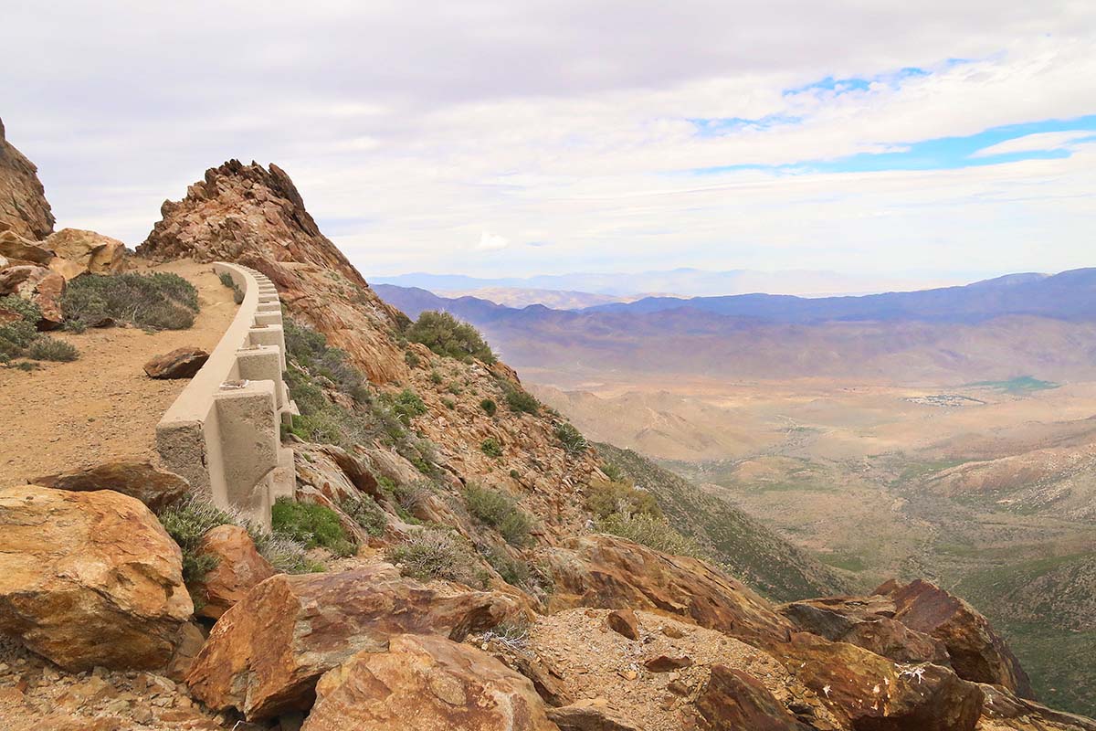
For those who can’t dedicate a few months to hiking the Pacific Crest Trail but would like to get a small flavor of it, might I recommend this beautiful hike! It is quite windy here so be ready for that. Also it is advised to dress warm for this same reason, although sometimes you can get lucky and it isn’t super cold. At an elevation of 6,000 ft. it does snow here in the winter too.
The views are gorgeous and this is a popular spot for hang-gliders. We have another page of the lookout point on this page where you can learn more of the history, but this is specifically for the hike. We only did a couple miles of the hike as we had other places to be this day. If you want to do the hike in its entirety, it is 11 miles round trip.
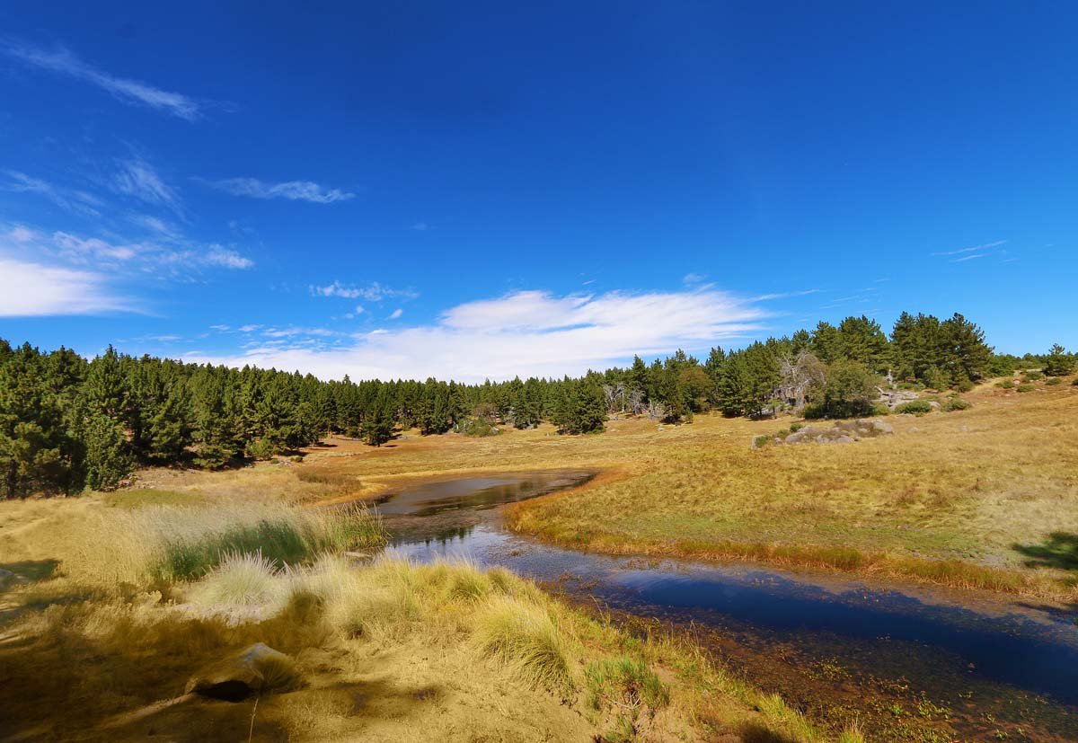
Sunset Trail to Laguna Meadows
On this hike you will see sprawling meadows (either in hues of yellows, green or white depending on what time of the year you visit), several bodies of water (that occasionally dry up) and scenic views that span all the way to the ocean on a clear day. The hike is packed with variety and beauty, all in under an 8 mile loop.
These trails are frequented by mountain bikers and dogs are allowed on leash, which is always a bonus point for me as my little pup hates being left behind. I’m yet to do this hike in springtime or after a good snowfall so I guess I have at least a few more trips I’ll need to take down the line.
Lake Hodges
The Lake Hodges we see and know today was actually once a river which was inhabited by Indigenous people since at least 7,000 B.C. Ceremonial pictographs are found in this area (well-guarded now due to unfortunate vandalism) and mortars can be found along the shoreline which were used for grinding food. Much of the plant staples for the Kumeyaay can still be found in this area today.
We have found the old rock quarry which was used to construct the dam and nearby are a pair of "caves" which are more like rock shelters. Above in the hills you may be able to see the Spaceship House, which is part of a large artist community. So many lovely, hidden gems in this area!
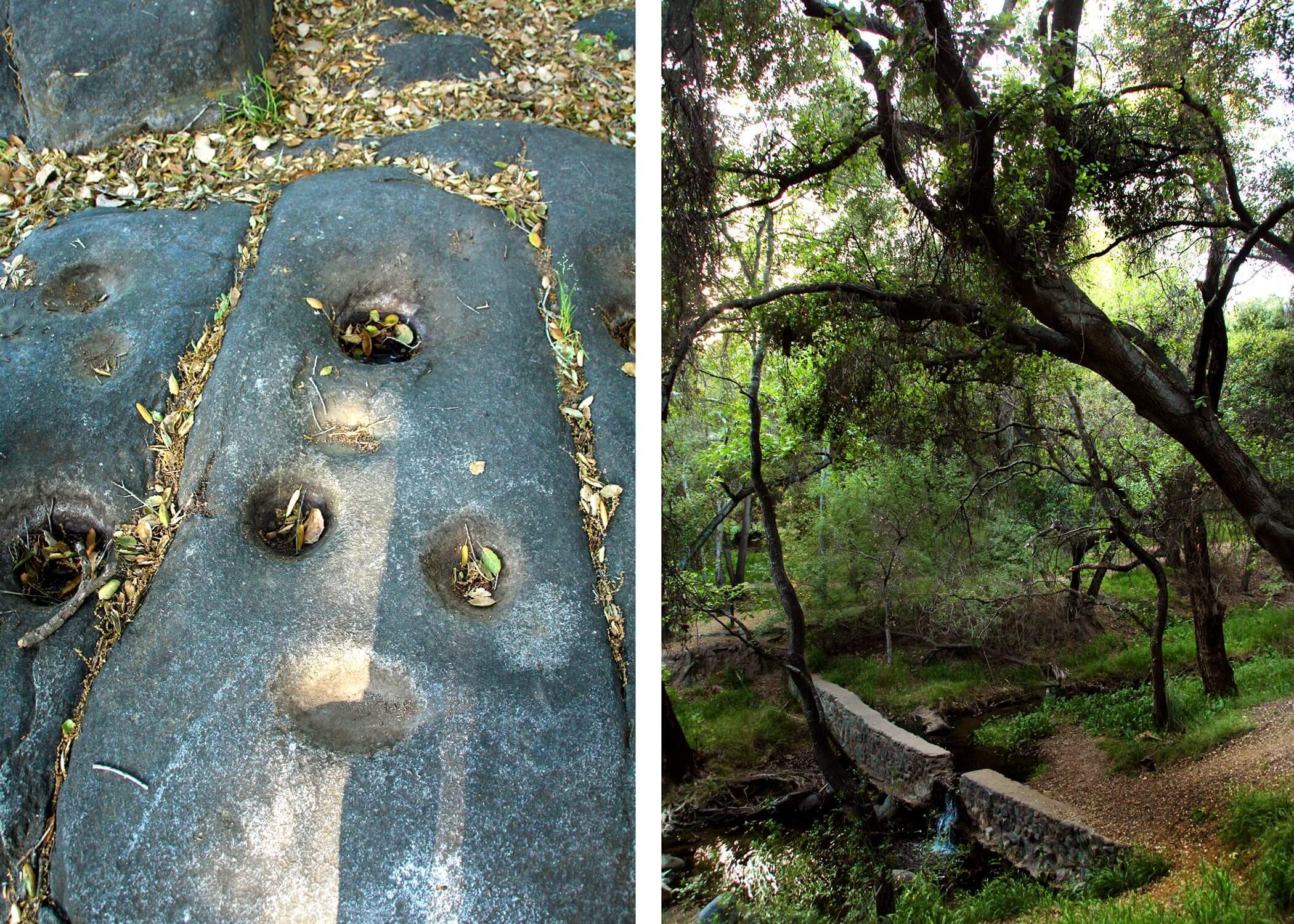
Live Oak County Park
Live Oak County Park is a very special place. As you stand among the shaded oak groves, keep an eye out for the mortars (grinding holes) in the bedrock. This is not just another park, this is an ancient Native American village. For thousands of years, the Luiseños would call this very park home.
In 1920 the park was officially dedicated as a county park. There are bronze plaques that can be found throughout the park marking historical events that happened in the area. There is even a native plant garden which can be appreciated here with signs to help educate on what you're looking at.
There is also an amphitheater, workout station, softball field, trails, a dog park across the street, barbeque grills, picnic tables, a basketball court, soccer field, volleyball court and four restroom. It is a beautiful park. Please come here with respect for its history.
Lake Morena
Lake Morena is a beautiful reservoir in Campo that can be used for all sorts of recreational activities, including camping, fishing, boating and hiking!
Sitting at an elevation of 3,000 feet, this is considered the most remote reservoir in San Diego County. This reservoir has ties to the infamous rainmaker, Charles Hatfield, who is responsible to the greatest flood our city has ever seen!
Los Jilgueros Preserve
Los Jilgueros Preserve is a 46-acre nature preserve located in Fallbrook. The Fallbrook region is Luiseño territory. The preserve was once an orchard and farmland before being purchased by the Fallbrook Land Conservancy. During your hike, you will most likely see some of the old farm equipment still laying around off trail.
The preserve has a variety of zones to explore such as wetlands, native gardens, a pond and forest groves. We explored in the springtime when everything was blooming. It was a very beautiful and tranquil hike, great for the entire family and pup!
Rancho PQ Trans County Trail
The Rancho PQ-Trans County Trail is actually the joining of two trails: The Trans County Trail & Rancho Peñasquitos Trail. It begins at the Cara Knott Memorial Garden and ends at the intersection of Scripps Poway Parkway & Black Mtn Rd. From here, if you choose, you can walk across the street and begin a whole new adventure.
I have done this hike multiple times which were all in late winter and early spring. It is oftentimes shades and filled with greenery, wildflowers, tiny ponds and a creek running next to the trail. You will eventually come to several forks in the road which makes it fun and reasons to keep coming back and see where each trail will take you!
Maple Canyon
Maple Canyon is not only a fabulous place to witness the spring flowers and greenery, but you will also pass by two historic bridges. The first bridge you will cross which is also the trailhead and that is the Quince Street trestle: a wooden pedestrian-only footbridge, built in 1905 as a means to connect Bankers Hill with the streetcar that used to run along Fourth Ave.
The second bridge you will hike underneath and that is the First Ave. bridge which was built in 1931. This bridge was assembled completely in Ohio before being dismantled and shipped here. While you are in the area, I highly recommend the Spruce Street suspension bridge which is another old footbridge.
Marian Bear Park
The public can enjoy over three miles of mostly flat trails along the length of the canyon. More challenging hiking is available on the trails in several of the finger canyons leading up to the mesa tops.
We walked several miles and could have gone much further. Not only that but there are trail entrances from both sides of the parking lot. We took the trail that headed west. We found a lot of magic and beauty during our hike but I would recommend hiking in the cooler months if you want to replicate a trip like ours below.
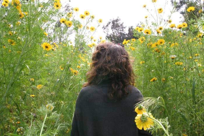
Metate Meadows
After posting a photo of Metate Meadows on our Instagram and Facebook pages, a lot of people were wondering its location. I decided it is pretty enough to have its own page. This is one of those spots that you will want to visit in late winter through early spring to capture all the beauty, otherwise there is really not much to see or explore. This becomes a field of dead weeds and dirt come summer.
It reminds me of the field at the end of Harold and Maude when Harold is playing his banjo. So beautiful! See the film still below:
Miramar Lake
Lake Miramar is a man-made reservoir built in 1960 and is located in Scripps Ranch. Recreational activities such as fishing, boating, bird-watching, jogging and cycling are permitted. There are both paved and dirt paths that go around the lake giving you the option of a more rugged adventure or smooth, which is ideal for strollers, joggers, wheelchairs or bicycles. Recreational activities such as fishing, boating, bird-watching, jogging and cycling are permitted. There are both paved and dirt paths that go around the lake giving you the option of a more rugged adventure or smooth, which is ideal for strollers, joggers, wheelchairs or bicycles.
Monument Peak
Monument Peak sits along the edge of the Laguna Mountains, with the gorgeous views of the Anza-Borrego desert lying below. The trail head is at the Desert View Picnic Site. You will actually walk along the Pacific Crest Trail for a moment! When we went there was a lot of fire damage evidence along the hike.
From what I was seeing online, Monument Peak is one of four sites that NASA has been seeking out for one of their next NASA Space Geodesy Networks.
Observatory Trail
We did this hike in October when the leaves were beginning to change color. It is a beautiful hike that takes you up to the Palomar Observatory. Although this is not my favorite hike in Palomar, it is still worthwhile.
None of the hikes have been disappointing though as this entire mountain is a magical wonderland to me. Eventually I plan on hiking all the trails out here so here is one more knocked off the list.
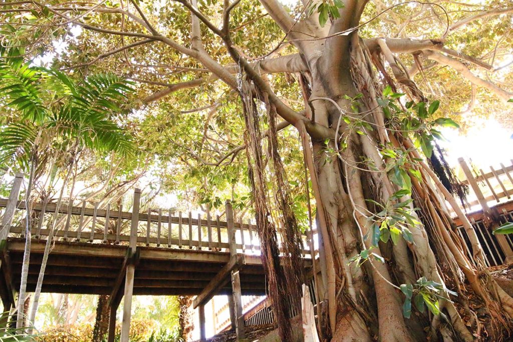
Palm Canyon
Palm Canyon is a tropical oasis, containing more than 450 palms (58 species) within its 2 acres. A true hidden spot in Balboa Park, the winding paths take the visitor into a shady, lush canyon. The original group of Mexican fan palms - so prominent in the canyon - date back to 1912. This beautiful, hidden gem was originally planned and planted by the "Mother of Balboa Park", Kate Sessions.
Point Loma Native Plant Garden
The Point Loma Native Plant Garden was a lot more than I had expected. This is definitely a must-visit spot for garden and plant lovers. Tucked away in a residential Point Loma neighborhood sits this beautiful native plant garden brimming with rare and endangered plant species. We visited in late spring and a ton of plants were blooming at the time.
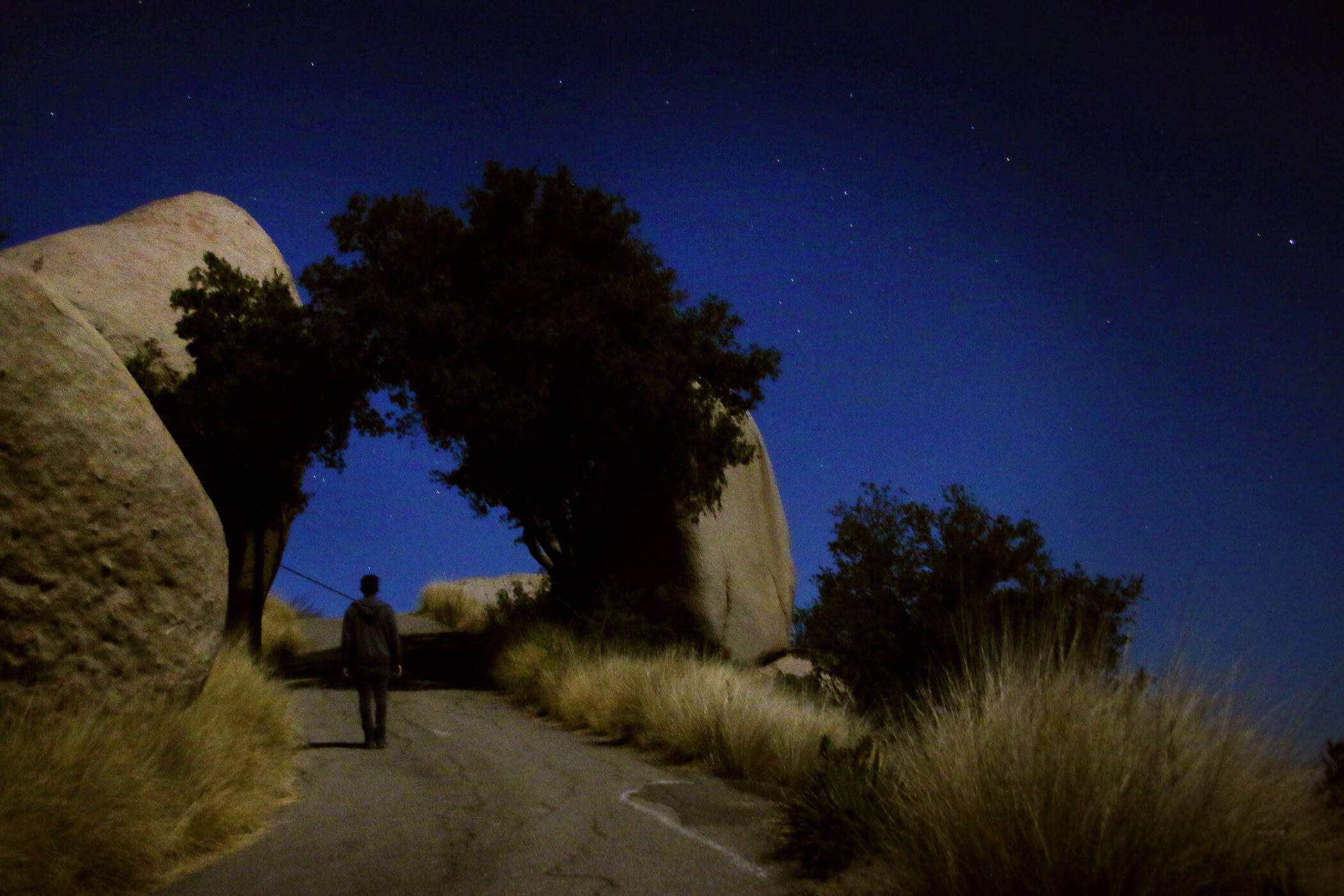
Potato Chip Rock
Since Potato Chip Rock took the internet by storm years back, I have been adamantly against visiting it. Still, I longed to get some really neat night shots. Going at night seemed like the best way to avoid the hoards of people & long lines waiting to pose on top of the thin rock with a seeming drop below to your death.
The views on the way up to Potato Chip Rock are stunning almost the entire way up. Please know that the destination is shared with satellite towers which is as far from nature as you can get unfortunately. The road we hiked up is the service road actually.
Rancho Penasquitos Waterfall
The Rancho Peñasquitos Waterfall is not much of a waterfall by normal standards, but for San Diego, I guess this is what we qualify as one. Los Peñasquitos Canyon is characterized by varied natural resources.
Evidence of the rich biodiversity of the canyon include over 500 plant species, more than 175 types of birds, and a great variety of reptiles, amphibians and mammals. Many of these species are rare or endangered and are protected within the Preserve.
San Luis Rey River Trail
The San Luis Rey River Trail is a 10.7 mile bike trail in Oceanside that will wind you along the river and offers many unique points of interest. There are multiple trailheads so if you are pinched for time or don't have a bike & want to walk, you can chop this up into multiple trips.
The river trail has little to no incline and is paved, making this a smooth excursion throughout. We saw so many cool things during our multiple trips, but the most startling of it all was a freeway exit that leads to nowhere! I had NO clue this existed! I am aware of a couple other ones in San Diego, so this was very fun to add to the list!
Santa Margarita River Trail
Beating the heat in San Diego usually means fighting for a parking spot at one of our overcrowded beaches unless you have the luxury of owning your own pool. Otherwise we generally stay indoors and run up air conditioning bills. Isolated bodies of water where you can cool off are far and few in between. Enter the 221 acre Santa Margarita Preserve. A river of the same name passes through the preserve which lies in the North County community of Fallbrook.
The Santa Margarita River Trail is home to many animal and bird species that rely on the river as a water source. The Santa Margarita River cuts through the preserve on its way from its Temecula source to the Pacific Ocean and is home to a number of species of fish including rainbow trout and striped mullet. Be advised that fishing is currently prohibited in the preserve.
Morrison Pond
Morrison Pond is a scenic loop trail located inside Sweetwater Regional Park. This park is part of an extensive network of trails along the Sweetwater River. You will come across plenty of intersections to extend your hike if you choose to go further. The original inhabits of this area are the Kumeyaay who named the region Apusquel. It was later a dairy farm and then a sand and gravel quarry.
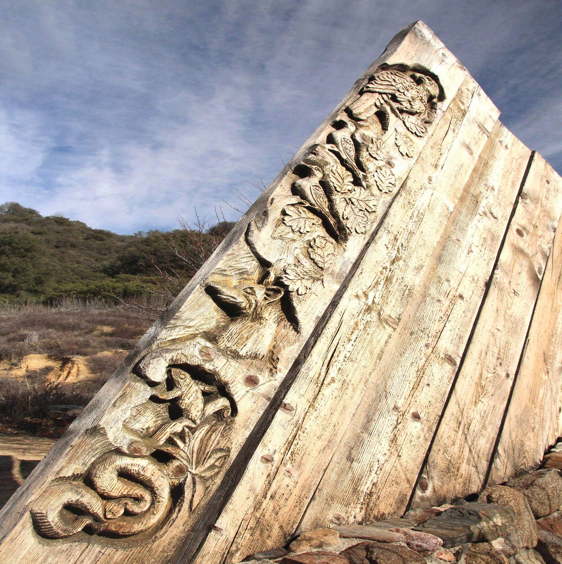
Volcan Mountain
Volcan Mountain was off-limits to the public for most of the 20th century, so we are quite fortunate to get to explore it today! In 1989, famed artist and architect, James Hubbell was asked to design an entrance to the Volcan Mtn. trail that would celebrate the passageway to the high summit and cause people to pause and appreciate that they were entering a special place. In 1990 Mr. Hubbell built a beautiful gateway of native rock and cedar beams collected from and milled on Palomar Mountain. James’ son, Brennan, built the tall iron sculptures that we see in front of the gateway.
Volcan Mountain Wilderness Preserve offers approximately 2,900 acres of mixed conifer forest. Hike to the summit for spectacular views from the desert to the coast. This roughly 5-mile round-trip hike is considered moderately-difficult, with steep inclines.
West Side Road & Devil's Jump Off
Located in the backhills of Ramona is a scenic hike that will end with views of one of San Diego's elusive waterfalls: Devil's Jumpoff. If you hope to catch the waterfall running though, make sure to hike after we've had some good rainfall as it is seasonal.
The trail is actually an old fire road which overlooks Dye Canyon. We spotted several cuts in the hills that appear to be seasonal waterfalls beyond the Devil's Jump-off. I will have to return one day after a good storm and report back!